...Doi Mon Jong, this name came back to mind after the trip I planned to go to Mae Hong Son Province was canceled due to the recent security situation in the area. I decided to find a new trip and settled on Doi Mon Jong instead. I had hiked Doi Mon Jong five years ago when I was new to hiking. It was quite a challenge for someone who didn't exercise regularly, and I wasn't able to conquer the highest peak, Doi Huasing. This time, I'm determined to try again and finally reach the summit. I also want to take more pictures, as my photography skills were still developing back then.
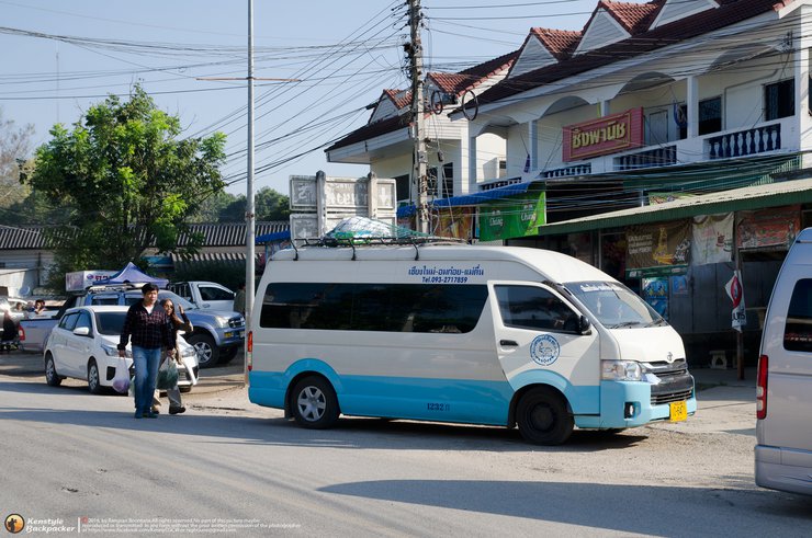
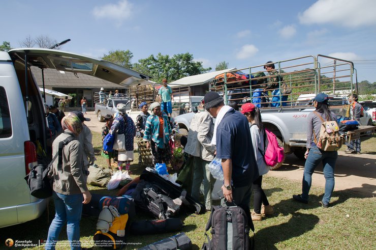
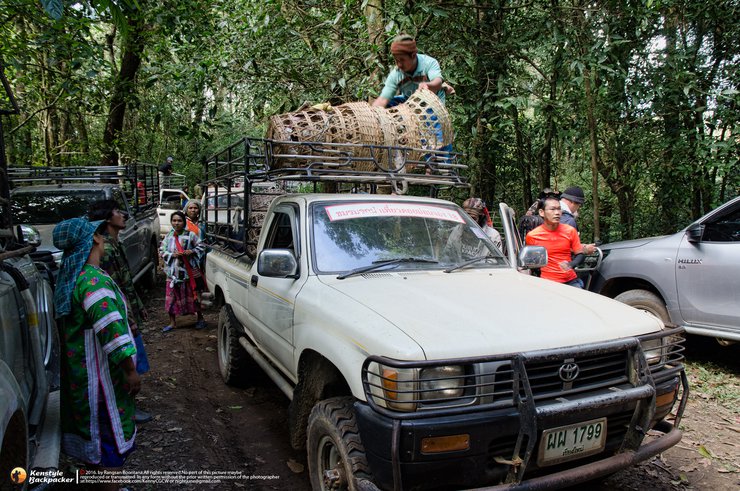
… I opted for a trekking service with the group Khon Baak Pae, a familiar provider, to avoid the hassle of gathering members myself. Given the challenges of coordinating schedules and the various disruptions that have caused previous trips to fall through, I often join groups with similar objectives. We assembled at Big C Saphan Khwai and took two vans to Omkoi District for breakfast and to purchase supplies for cooking. We then continued to the Doi Mon Jong Tourist Service Unit in the Mu Ser village, the starting point for the trek. We had to register there, arrange for porters, and hire a 4WD vehicle to transport us to the starting point. In total, the journey from Bangkok to the starting point took 14 hours, and we didn't begin our trek until 1:30 PM. As it was a long weekend, the number of tourists was significantly higher than usual.


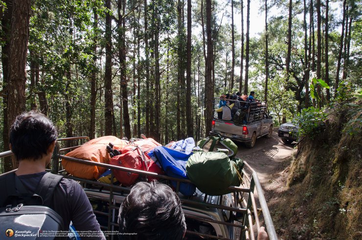
The journey from the unit to the starting point of the hike is an off-road drive that takes approximately one hour and covers a distance of about 16 kilometers. The hiking trail to the campsite is relatively clear and easy to follow, with gradual ascents and descents. The hike takes about 3 hours at a leisurely pace, covering a distance of 6 kilometers. Along the way, there is a scenic spot called Hin Chor, which features stacked boulders that offer stunning views for photography. While there are no禁止 signs and officials do not object, it is important to prioritize safety and exercise caution when climbing, as the space on top of the boulders is limited.


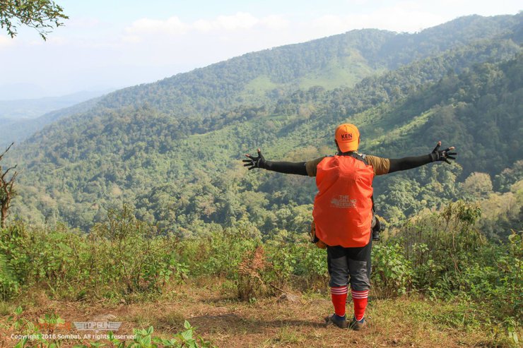
After passing the rock formation, we continued along the narrow path between the hills until we reached the highlight, the "Dog's Panting Hill." This steep incline can be challenging for beginners, but it is manageable with some effort. After conquering the hill, the trail leads us across the "Bald Hill," offering breathtaking 360-degree views. The overcast sky and cool breeze refreshingly caress our faces. In the distance, the peak of "Lion's Head" emerges, beckoning us closer. We turn left and descend into a valley, where numerous tents are pitched due to the high number of tourists. The limited camping space on the summit has forced some to set up camp here. There are three designated camping areas on the mountain: Camp 1, located before the "Dog's Panting Hill," is used when the main campsite is full; Camp 2, the main campsite, is accessed by descending to the right from the elephant golf course; and Camp 3, located on the left side of the valley, requires campers to fetch water from Camp 2 and lacks toilet facilities. All three camps are designated by park officials due to their protection from the wind. The temperature on the summit drops significantly at night. However, during long weekends, the designated campsites may be crowded or require a long walk, leading some tourists to disregard the rules and camp on the elephant golf course, which is prohibited.


This evening, I will not be ascending to the summit. Instead, I will allow other groups of tourists to go first. Most people who come here only stay for one night, climbing to the summit in the evening or early morning and then packing up their camp and leaving by midday. However, I believe that after traveling for several hours, it is a shame to only stay for one night. There is much more to see on Doi Mon Jong than just the Huasing Peak. Therefore, we will be staying for two nights. Tonight, I will only go as far as the Chang Golf Course to stargaze with my friends, enjoying both the stars on the ground and the stars in the sky. We will also sip on some "floating stars" (a type of alcoholic beverage) to ward off the cold, as the temperature on the summit is in the single digits. Later in the evening, I will return to my sleeping bag in the camp, as I cannot withstand the cold. The temperature in the camp is slightly better, around 13 degrees Celsius.


In the early hours of the 2nd, I woke up at 4 am to photograph the stars. Even though it was a waxing moon, the moon had set around 4 am, so the Milky Way was clearly visible. However, this month is a time when it is less visible, so only the tail was visible. I then waited to photograph the sunrise, but sunrise and sunset here are quite difficult to photograph because they don't gradually rise from the horizon. Instead, they appear from the layer of clouds and fog, and the light is immediately bright.


After the sun rises, I will find a fun angle to take pictures. Then, I will go to the top of the mountain in the afternoon to watch the sunset. After enjoying the atmosphere and taking pictures, I will walk back to the camp to find something to eat and rest. The advantage of a 3-day, 2-night trip is that we don't have to rush and can really relax and enjoy nature.


The area before descending into the valley towards the camping site is a grassland with a large pit. There is a tent pitched in the pit. This area resembles a golf course, and elephants often come down to feed here. It is therefore called the "Elephant Golf Course". Camping is actually prohibited in this area. However, as it is only a wildlife sanctuary and not yet a national park, management is not very good. However, it is much better than it was 5 years ago. There are few rangers, and porters are used to help inform tourists about the rules and regulations. However, some tourists do not comply, either out of ignorance or because they have not been informed about the camping ban in this area. This is because it can cause wildfires from cooking, and the dry grass is an excellent fuel source. In addition, there is a constant wind. If we do not extinguish the fire completely, and it flares up when no one is on the mountain, it will be difficult to control. The consequences will directly affect the villagers, wildlife, and rangers. Therefore, we should listen to the rangers so that we can enjoy sustainable tourism.


After lunch, most campers retreated to their tents to rest, having woken up early and enticed by the pleasant weather. Others sat around chatting and sipping coffee. Camping in the middle of the forest on a mountain is an excellent way to relax. Although the journey may be tiring, the fresh air and natural surroundings help to rejuvenate the body. Local villagers often bring herbal remedies made from roots and bark to help alleviate aches and pains. This was my second visit, and I have had the opportunity to try these remedies both times, suggesting that they are a regular part of their diet.


After a 20-30 minute hike from the Chang Golf Course, I finally reached the summit. The 360-degree view from the top of Huasingh was breathtaking. In front of me, the Mae Taeng River meandered through the plains, the source of the Ping River that flows into the Bhumibol Dam. Looking down at the flat land below, I was surprised to see only small bushes covering the entire area. The forest on the left stretches all the way to Sam Ngao District, Tak Province. There is a shortcut path that follows the ridge with a strange shape to the Buddha statue and the top of Huasing. I didn't hesitate to walk down to explore it immediately, as there was still time before the sun set.


The distance from the Lion's Head peak to the Buddha statue is less than a kilometer, and from the statue to the Monkey's Head peak is approximately 500 meters. However, judging from the path to the Monkey's Head peak, it appears that one must descend into a valley and then climb a long way to reach the summit. Given the limited time, we only captured images up to the Buddha statue and then returned to photograph the sunset from the Lion's Head peak. Beyond the Monkey's Head peak, a porter informed us that there are also the Dog's Head peak and the Human's Head peak, with a path leading down to a village that passes through a waterfall. This route is also accessible for climbing, but it is steeper and more challenging than the usual path.


The sun, peeking through the clouds, cast a fleeting golden glow as it dipped below the horizon. The twilight sky, ablaze with vibrant hues, painted a breathtaking canvas across the heavens.


The next morning, it was time to pack up camp and head back. The original plan was to take more photos of the sunrise, but the battery died before we could. Although the mission to see the goral was unsuccessful and the thousand-year rose was not yet in bloom (it blooms in January), we still enjoyed every moment of our visit. We left the camp at 9:30 am and arrived back in Bangkok around 1:30 am. Some people had to wake up and go to work, while I took an extra day off to rest. Another trip is over, probably the last one of the year. See you next year...

Doi Mon Jong: A Mountain Adventure in Thailand
Doi Mon Jong, a stunning mountain peak in Thailand, welcomes visitors from November to February. Before embarking on your journey, obtaining permission from the Omkoi Wildlife Sanctuary's Muser Forest Protection Unit is crucial. For detailed travel information, please refer to the following link: http://www.4dekdoi.com/home/volunteer/travel/
Upon arrival at the Doi Mon Jong Tourist Service Unit in the Muser community, register your visit. After preparing your belongings and securing porters, a 4WD vehicle will transport you to the starting point of your trek, approximately 16 kilometers away. From there, a 6-kilometer hike awaits you to reach the summit.
The cost for the 4WD transportation is 3,000 baht per group of 10 people for a round trip. Porters charge 600 baht for a 2-day, 1-night trip, with an additional 300 baht per day for extended stays. They can carry 15-20 kilograms of luggage and require food provisions. For further inquiries, please contact 080-1333970.
- Thank you to my friends who came to watch and like and share. It's encouraging.
- For information exchange or travel inquiries, please visit our Fanpage: Studdoy Hundred Stories.
- Follow my old articles here All travel trips
สตั๊ดดอย ร้อยเรื่องราว
Friday, October 4, 2024 3:04 PM


