

This is all I have. This is all I can offer. Will you stay with me?
Phu Luang Wildlife Sanctuary, Loei Province
This is an empty paragraph.
Phu Luang, meaning "great mountain" or "mountain of the king," is an auspicious name bestowed by ancestors. The mountain was formed by the uplift of the earth's surface, with softer soil eroded away, leaving behind the hard rock that forms the mountain. Phu Luang Wildlife Sanctuary was established as a protected area in the Royal Gazette, Volume 91, Part 216, on December 18, 1974. It covers an area of approximately 848 square kilometers or 530,000 rai, located in Wang Saphung, Phu Ruea, Dan Sai, and Phu Luang districts of Loei province.
Travel
Route 1: Bangkok - Saraburi Province - Sikhio District - Chaiyaphum Province - Phu Khiao District - Chum Phae District - Phu Kradueng District - Wang Saphung District - Loei Province (approximately 560 km)
Route 2: Bangkok - Saraburi Province - Phetchabun Province - Lom Sak District - Lom Kao District - Dan Sai District - Phu Ruea District - Loei Province (approximately 530 km)
This is an empty paragraph.
Contact number for booking accommodation: 085 2725946
Contact for access: Mr. Nares Sriburin, 089 5742295/085 2725946

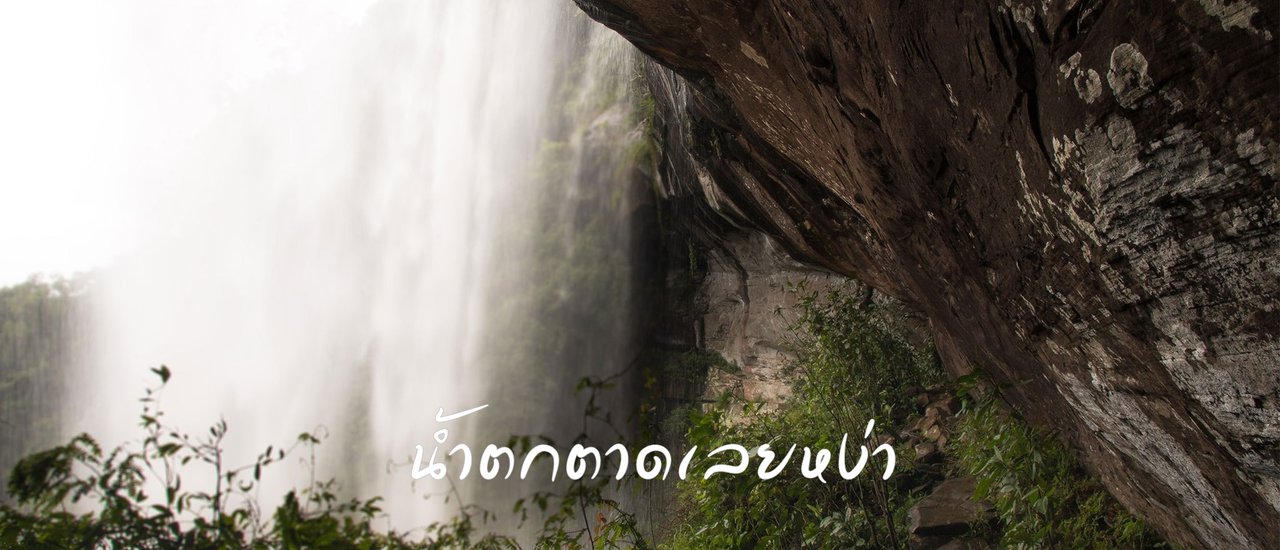
Tad Ley Ngha Waterfall is located in the Ley Wang Sai Forest Protection Unit, Phu Luang Wildlife Sanctuary, Ley Wang Sai Subdistrict, Phu Luang District, Loei Province. It is the largest and most beautiful waterfall in Loei Province. It is a single-tier waterfall that plunges 70 meters from a cliff. The waterfall is formed by the Loei River falling from a steep cliff with large rock layers and slopes arranged in beautiful layers. The forest is lush with many tamarind trees.
- It is recommended to stay overnight.
2. The walking time is 4-5 hours, depending on the individual.
3. Camping: Suitable for 3-4 tents.
4. Food must be prepared in advance.
5. No porters.
6. The bathroom lacks amenities.
- Contact the officer to guide you in. Walk about 5-6 km. The guide fee is up to you.
- To enter the area, please contact the Phu Luang Wildlife Sanctuary.
9. The accommodation has internet access.
10. The trail is not difficult, even beginners can go.
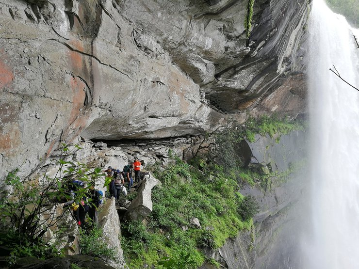
11. The path to the campsite requires caution as it follows a rocky cliff. Please exercise care when walking.
In the Isan dialect of the Thai language, the word "tad" refers to a section of a river where the water plunges down to a lower elevation, forming a waterfall.
We apologize for any errors in the information provided.


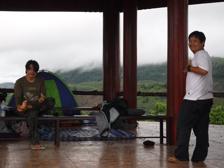
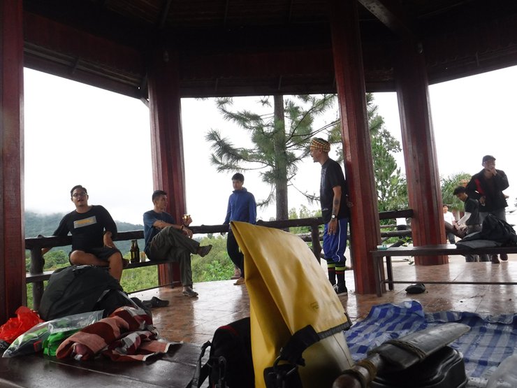
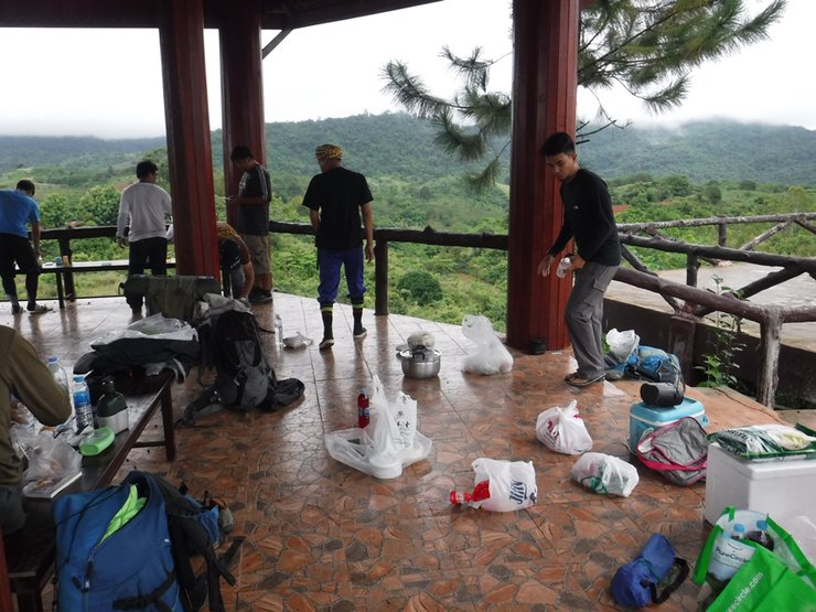
Fourteen members gathered on the evening of Friday, June 30, 2017, at the rooftop observation deck, where they planned to spend the night.
Coordinates of the viewpoint: 17°04'28.6"N 101°29'51.4"E


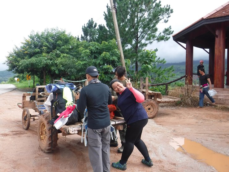
They woke up early and went to the market again to buy more supplies. The community is not far from the viewpoint. There is a shop that has almost everything you need. Drive past the health station and there is a grocery store selling fresh food. You can buy it there if you haven't prepared it.


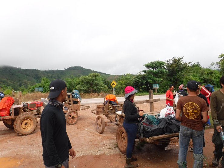
18 people, including guides, used 3 e-taek cars.


The path is as shown in the image.


Crossing this stream marks the start of the trail.


We set off on our journey. Our guide had flares with him, which he said were used to scare away elephants.


Along the edge of a small canal in the initial section


Initial pathway


Through the tall grass, through the dense forest.


Take a break and then continue your journey.


Cross another stream.


The path is cluttered and has fallen trees in some sections.


We stopped for lunch around noon.


P'Tai captured the image with a high-quality mobile phone.


The trees along the path are beautiful, the forest is green.


The rocks here appear unusual, as if they had collapsed.


The tree appears unusual.


After passing this point, we will leave our backpacks and walk down to see the waterfall first. Then, we will continue walking to the campsite.


From the baggage claim area, walk a short distance to the right.


A view from the bottom of the waterfall.


After taking photos, walk to the accommodation. The path is steep and slippery, so please be careful.


Our accommodation is located behind a waterfall curtain, accessible via a narrow and slippery path along a cliff edge.


If you fall down, you can call and book a temple that you like.


Placing your backpack down first is highly recommended to increase agility. For those with a fear of heights, it is advisable to face the rock.


Help save your friends.


A precarious crossing: an aging wooden bridge bound with vines. To traverse it, we rely minimally on the bridge itself, instead stepping on stones for support.


Head to the accommodation. After the waterfall, there is a rock crevice where you can sleep like a sardine. You can pitch 4-5 tents.

The upper level houses a single Buddha statue.


After finding a place to sleep, they took their time to soak in the surrounding atmosphere before heading up to the waterfall. Afterwards, they returned to help prepare the meal.


The trail leading to the head of the waterfall is steep and slippery, as it is at the end of the waterfall's curtain.


Is the path too narrow?


After playing in the water, they walked down to prepare food.


Each person has their own assigned task.

The menu, which is so heavy that it could break your back, includes a few dishes: grilled pork neck with seafood dipping sauce, deep-fried chicken wings, stir-fried garlic chives, omelet wrapped in pandan leaves, curry with banana blossom, dried fish, and fermented fish paste, deep-fried pork belly, fermented fish paste chili dip, crab sticks, and wasabi.


Driven by intense hunger, we barely managed to capture this moment before devouring the meal. After indulging in the delicious dessert prepared by Ke, we engaged in conversation before retiring for the night.

Waking up late, no rush. In the morning, just sit and drink coffee. I want to stay for another two nights.

Light breakfast


Have breakfast and then slowly pack your belongings. Don't rush on your way down.

After that, they returned.
Thank you all for coming and making this so much fun!
I'm Che
Tuesday, October 8, 2024 11:24 AM

