The sentence is already in English and does not require translation.
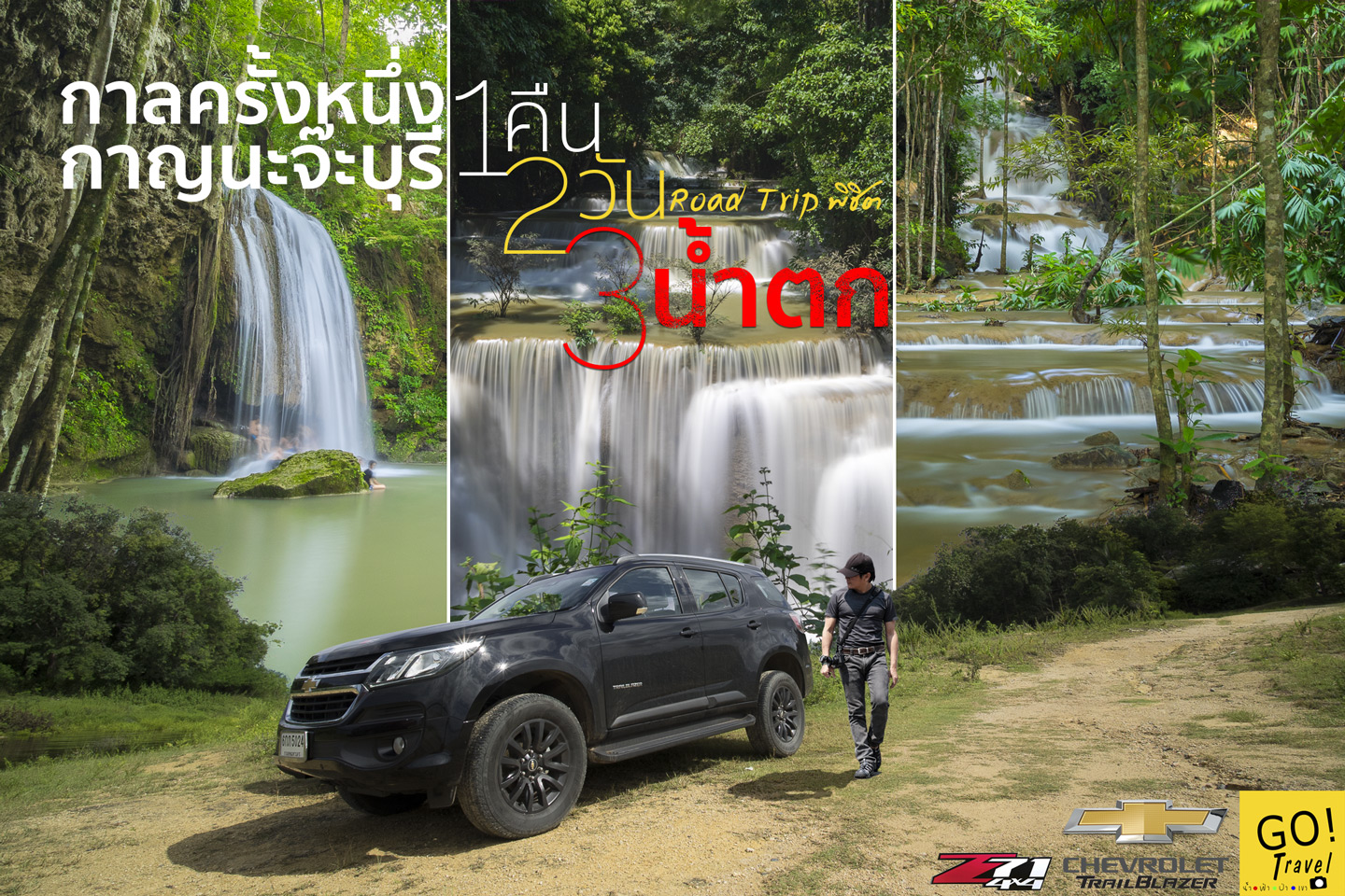
Many people are looking for short trips on two-day weekends, especially those who live in Bangkok and don't want to drive too far. Kanchanaburi is therefore a good choice, and at the end of the rainy season and the beginning of the cold season, the waterfalls are usually starting to look beautiful. I thought so too, so I decided to take a road trip to conquer the 3 waterfalls in Kanchanaburi. I'm reviewing it to make it fun, in case you want to copy the trip or adjust the plan a bit. For example, on this trip, we combined Pha Tad Waterfall with Huai Mae Khamin and Erawan. How did we manage to get them all together when they're in different directions? You'll have to try it out and see.
Thank you, Chef Lorette, for providing the Chevrolet Trailblazer Z71, a premium American-style SUV, for this trip. This is my first time experiencing a vehicle with a full-sensor safety system, and I must say, it's quite exciting.
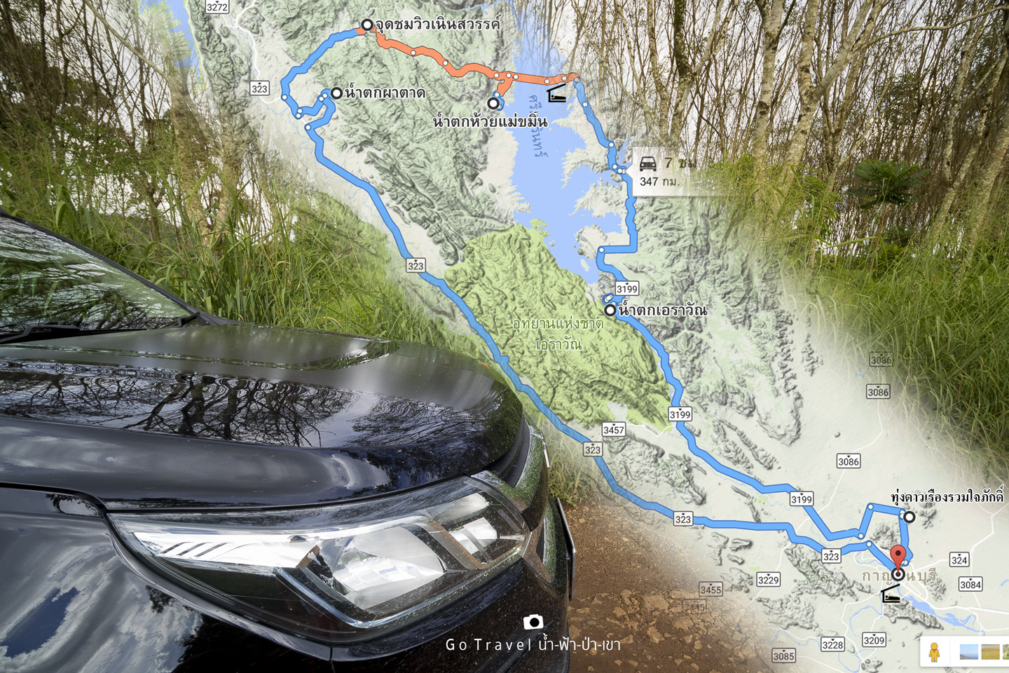
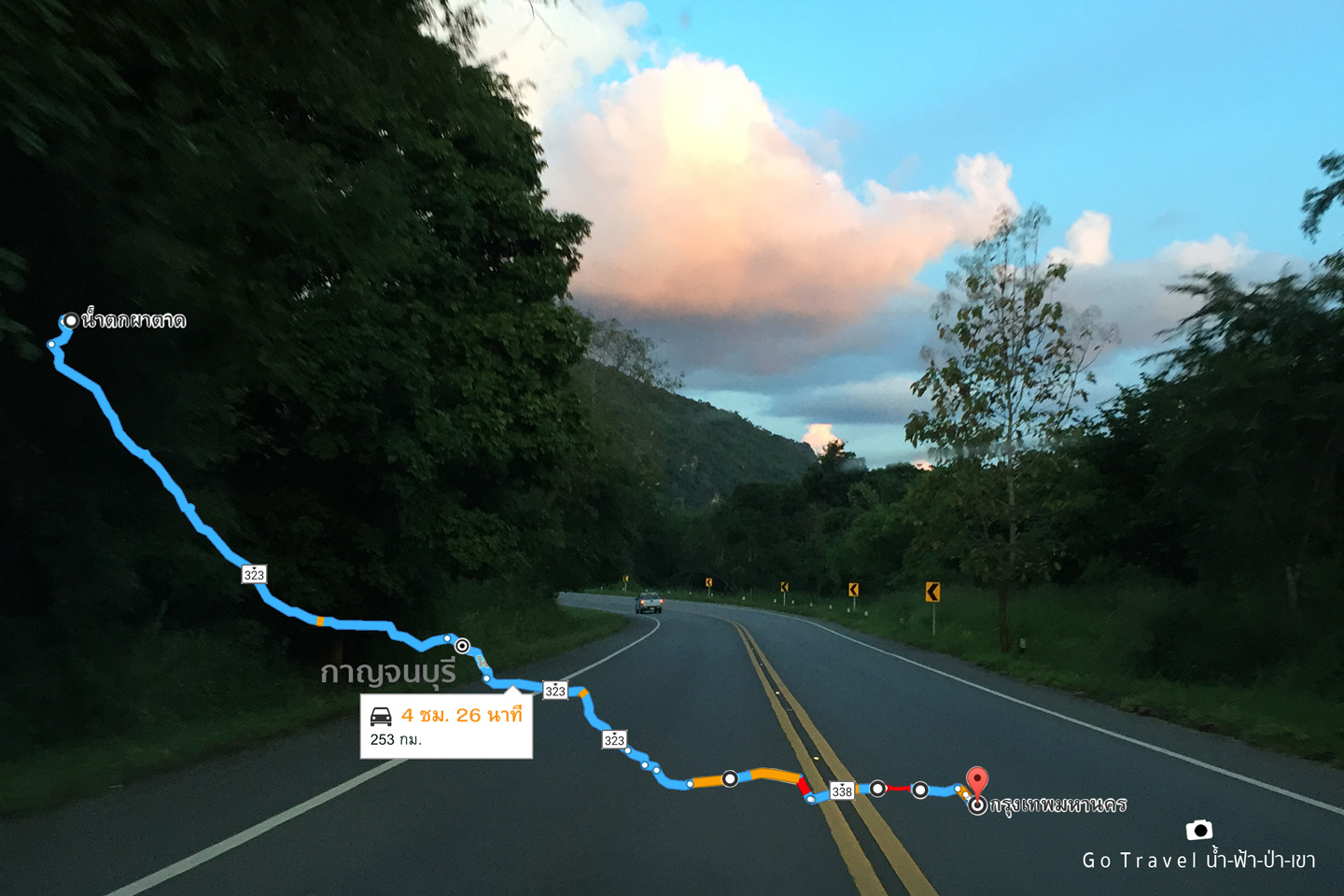
This trip covered a total distance of over 200 kilometers, including the round trip from Bangkok to Kanchanaburi.
This trip covered a total distance of 600 kilometers.
After finishing work in the evening, I drove through the night to find a place to sleep in Kanchanaburi. This allowed me to start my trip the next morning without having to travel to Kanchanaburi first.
This is the route.
Bangkok - Kanchanaburi - Check in to accommodation - Tung Daoreuang Ruam Jai Park - Erawan Waterfall - Check in to accommodation - Huai Mae Khamin Waterfall - Heaven's Viewpoint - Pha Tad Waterfall - Kanchanaburi - Bangkok
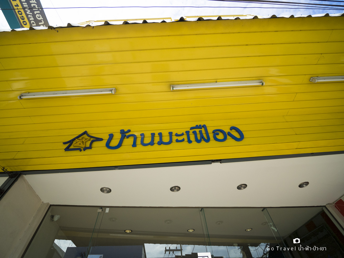
Baan Ma-Fuang, a guesthouse located in the heart of Kanchanaburi, offers affordable accommodation for travelers. Stay tuned for a brief review at the following link: (link to be provided).
Coordinates of Baan Ma-Fuang: https://goo.gl/maps/TJsV6JCCzHp
Google search https://goo.gl/LJSDK8
Day 1: Our journey begins with a visit to this location.
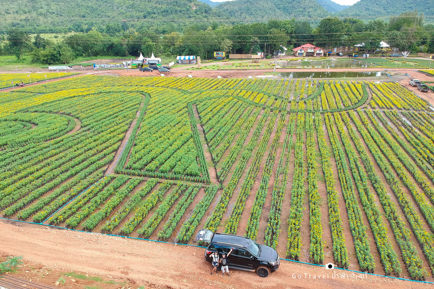
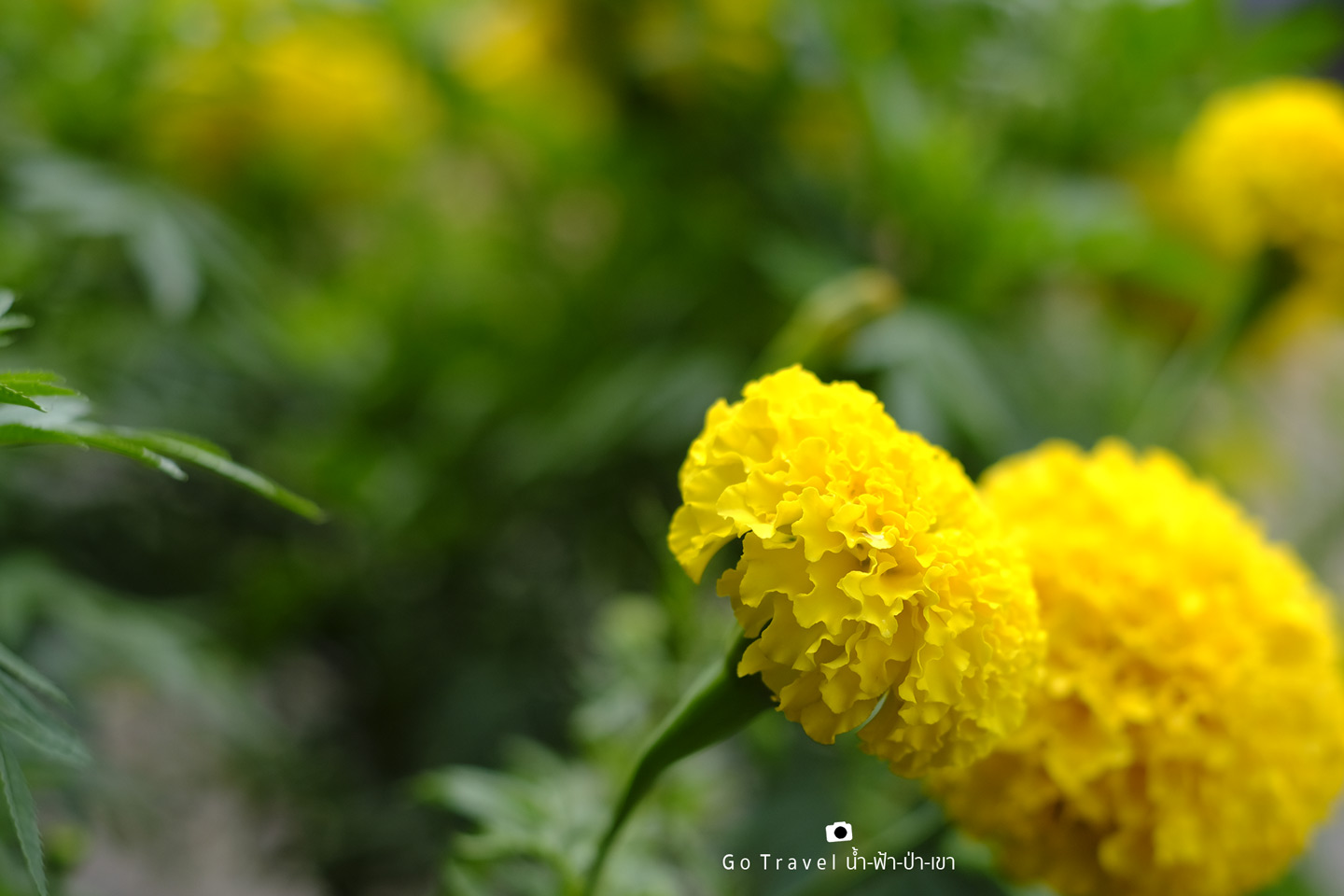
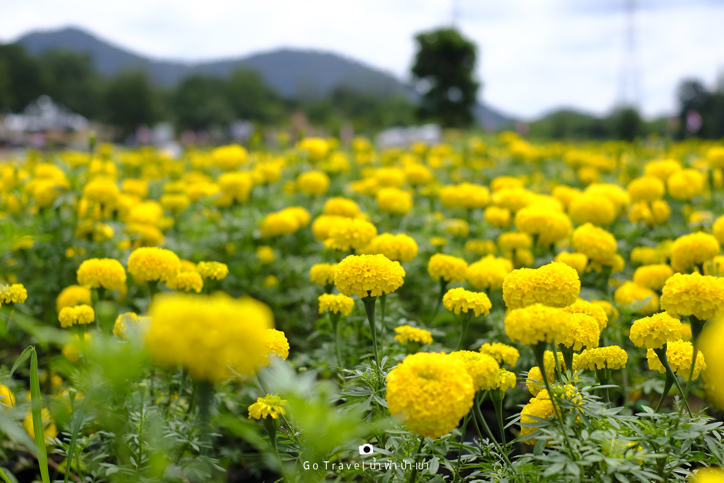
The Thung Daoreuang Ruam Jai Park, located behind Khao Thong Mountain near the Kaeng Sien Subdistrict Administrative Organization, is a vast field of over 450,000 marigolds arranged in the shape of the number 9. This display is open to the public until October 20th. Notably, the marigolds are not planted directly in the ground but are instead cultivated in preparation for the royal cremation ceremony of His Majesty King Bhumibol Adulyadej (Rama IX).
Taking this opportunity to visit
Note: The original text is empty, so the translation is also empty.
The provided text is an empty paragraph containing only a line break. As there is no actual content to translate, I cannot provide a translation in this instance.
Please provide a sentence or phrase that requires translation, and I will be happy to assist you.
Erawan Waterfall
The end of the rainy season and the beginning of the cold season. I was sure it would be beautiful, and it was. Four months ago, I came here and the water level was so low that it was almost heartbreaking. But I made a mistake by coming on a Sunday. Look at this, the first level is "Flowing back to the nest" and it's packed with people.
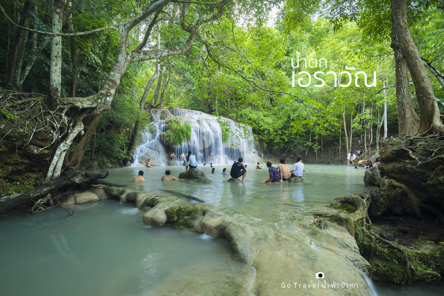
Arriving at the second floor of "Wang Matcha", there were still a lot of people. I was looking for an opportunity to take a picture, but people kept coming in. This happened in several shots. In the end, I thought it was good to have people in the picture.
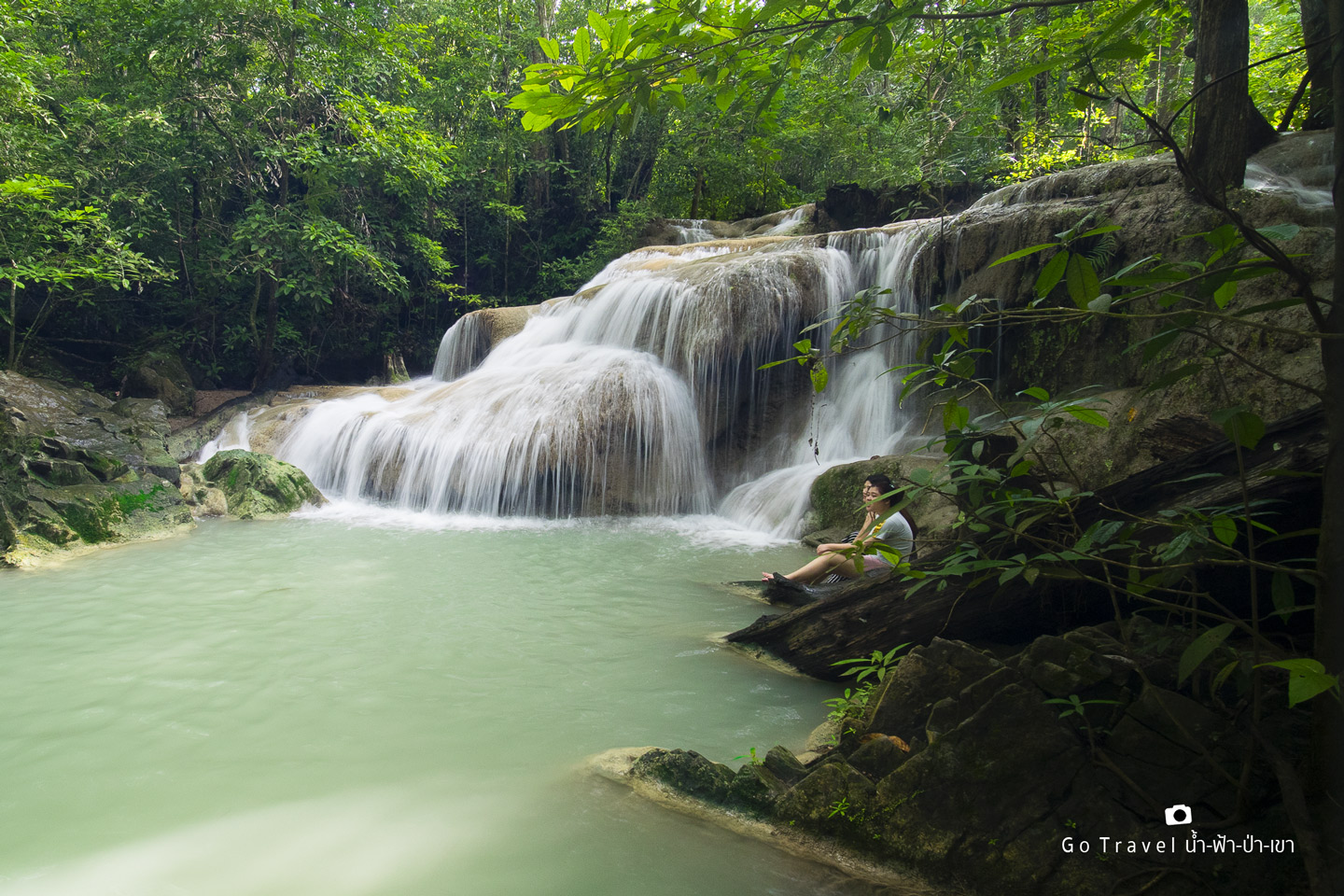
Upon reaching the third tier, "Pha Namtok," we were greeted by a throng of tourists, primarily foreigners. It seemed as though this particular tier was a popular destination, with many foreigners likely making the arduous journey to check in and post about it on social media. The photo was taken after dodging a multitude of people, as the area behind the camera was packed with tourists.
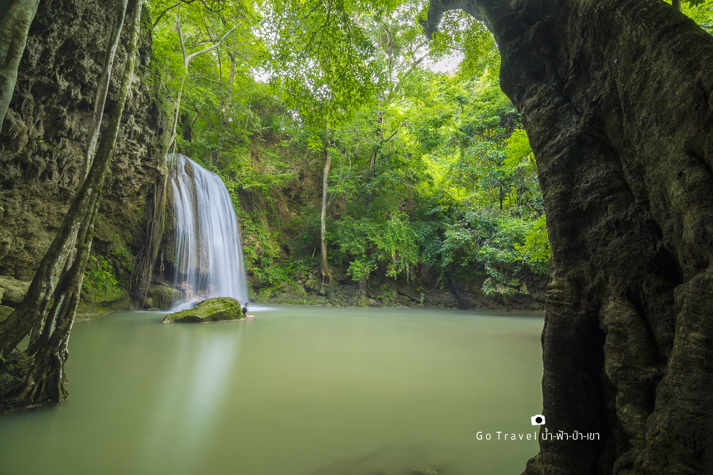
Despite our aspirations to reach the seventh tier of Erawan Waterfall, we ultimately decided to turn back at the third tier due to the overwhelming crowds, ominous weather conditions, and the late hour. Our destination remained approximately eighty kilometers away.
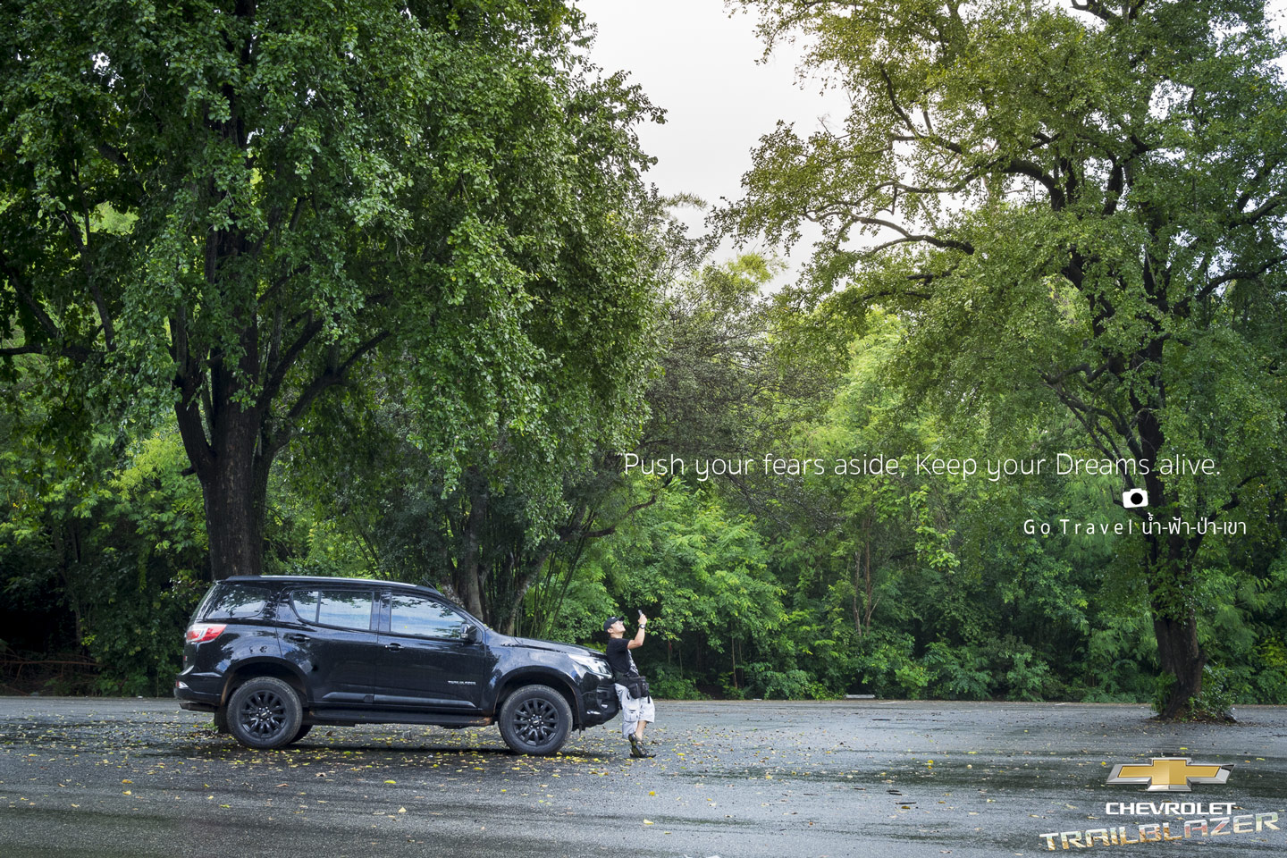
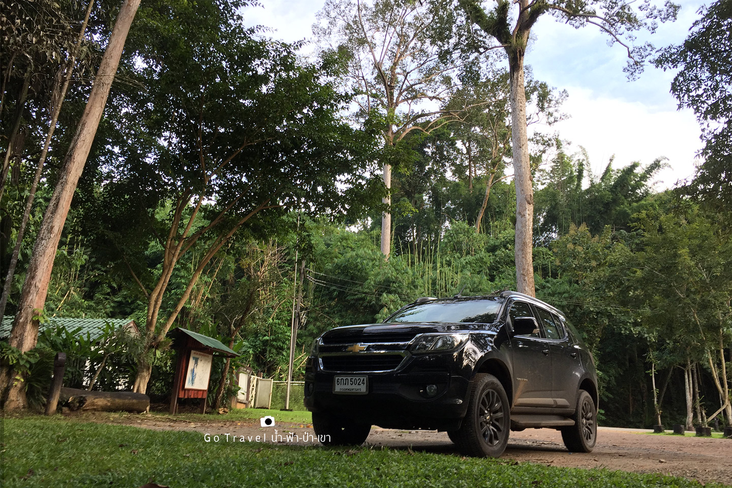
This refers to the accommodation we booked. It was already 4 pm, and we wanted to catch the twilight if possible. Before leaving Erawan, it rained heavily. We waited for the rain to stop for a while before we could get our car. The parking lot, which was almost full earlier, was now almost empty. Most of the tourists had left, so we took some pictures with the car.
Our next destination after Erawan Waterfall was Huai Mae Khamin. However, we opted for a less conventional route, avoiding the well-paved, 40-kilometer road that skirts the left side of the Sri Nakarin Dam. In the past, this road was notoriously treacherous, riddled with potholes and causing apprehension among travelers. As a result, most opted for the longer route on the right side of the dam, utilizing a car ferry known as a "teng" to cross the reservoir. While this route was considerably longer, it offered a significant time advantage.
For this trip, we will retrace our steps, running along the right side of the Sri Dam once again, and then crossing the Teng River to the Mae Khamin Stream, revisiting a popular route from the past.
The winding road with numerous curves made it seem unlikely that I would reach my destination before twilight. Therefore, I opted to use the first ferry service available, which was at Tha Kradan pier. This short ferry ride across a narrow stretch of water, less than a kilometer in length, cost approximately twenty to thirty baht. It allowed me to shorten my journey by almost twenty kilometers, saving me a significant amount of time. It was a wise decision.
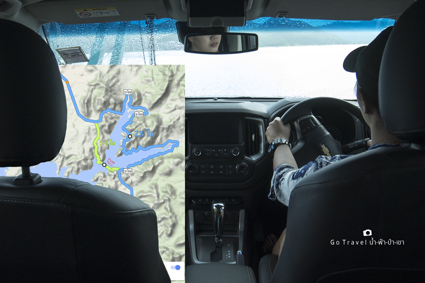
Undeterred by the pouring rain, they crossed the Teng Tha Kradan pier.
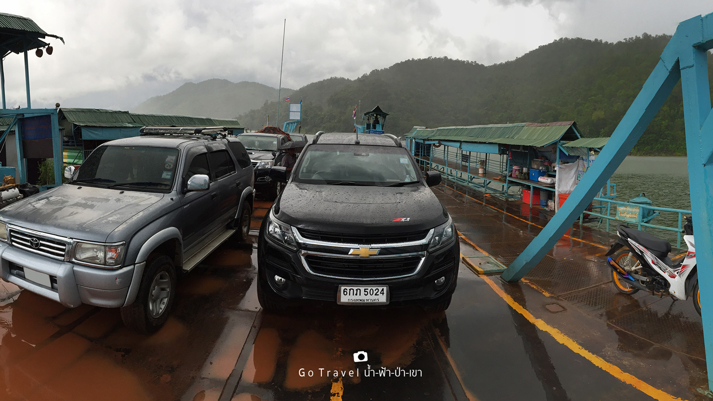
After crossing the bridge, continue driving until you reach the main road again. Head north for another 11.6 kilometers until you reach the entrance to the crossing point to Huai Mae Khamin, where our accommodation is located. The entrance is right at the crossing point. Turn in and drive another 5 kilometers from this sign.
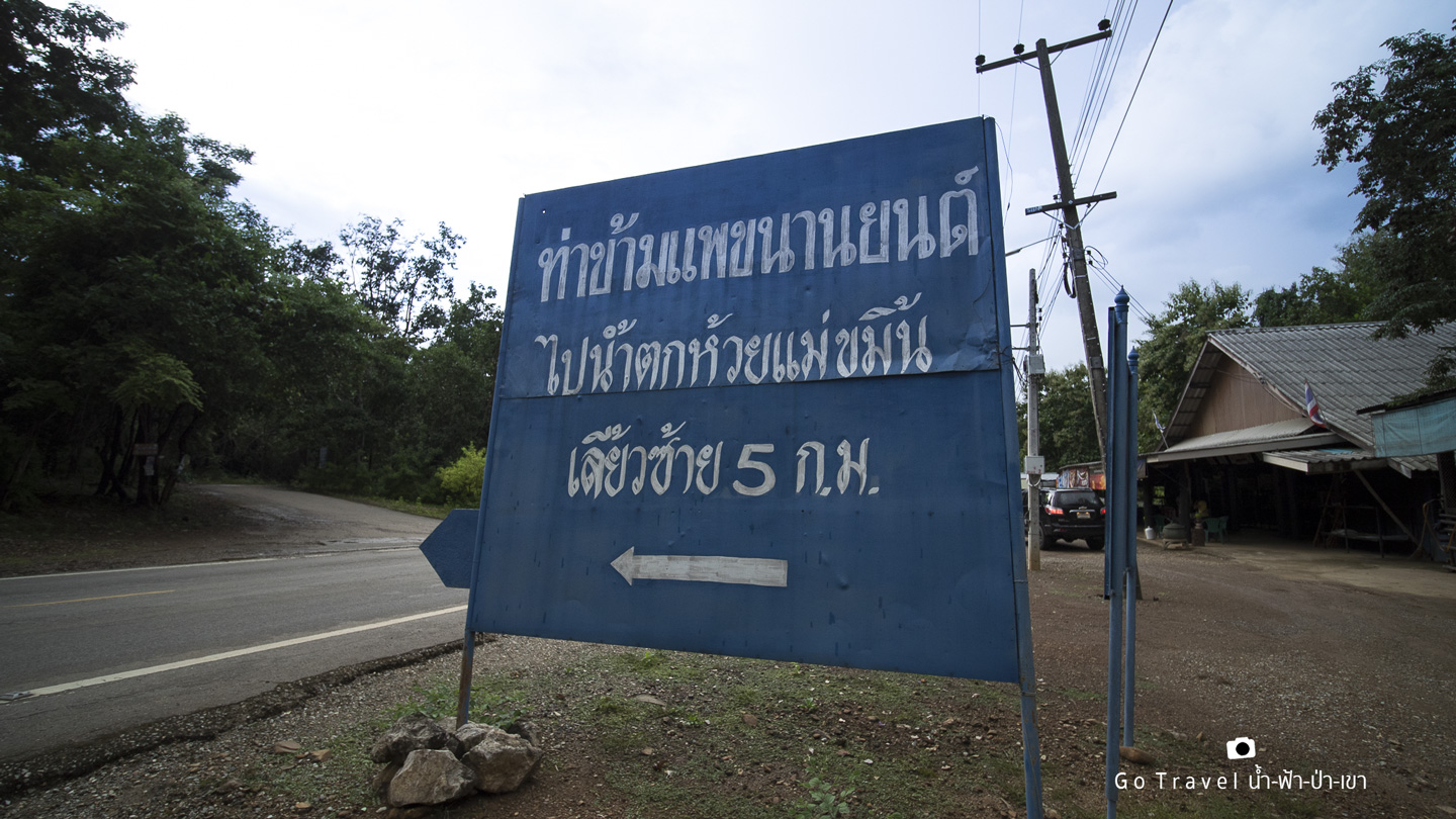
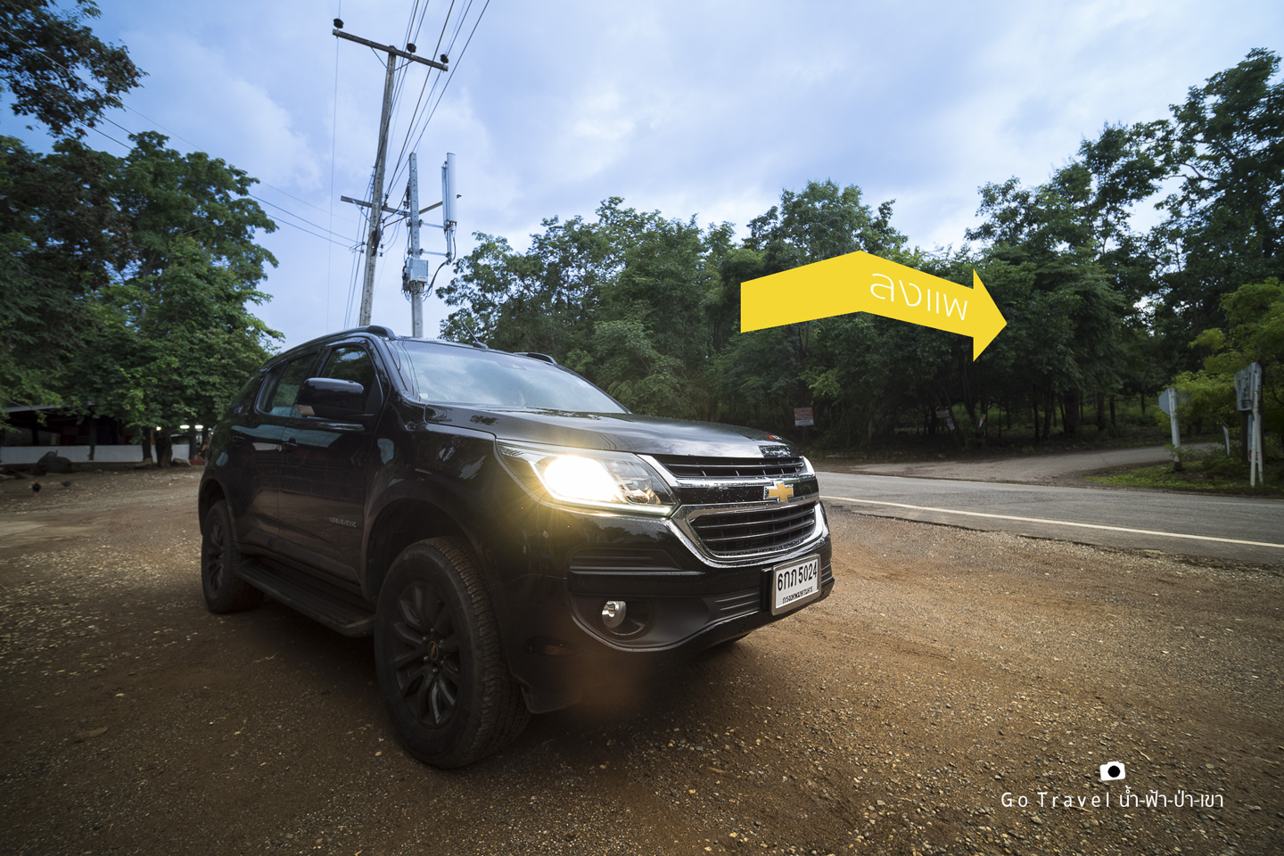
Turn left here, but let's stop and grab some snacks and a couple of beers first.
The provided text is an empty paragraph containing only a line break. As there is no actual content to translate, I cannot provide a meaningful translation.
Please provide a sentence or phrase that you would like me to translate.
The road to Teng is 5 kilometers long and not very friendly to cars. However, if you want to come, you can come if you don't love your suspension system very much. Cars can come, but drive slowly.
The GPS screen in the car shows that we are heading towards the tip of the small peninsula. That is the point where the car ferry crosses, or what is locally called "Teng".
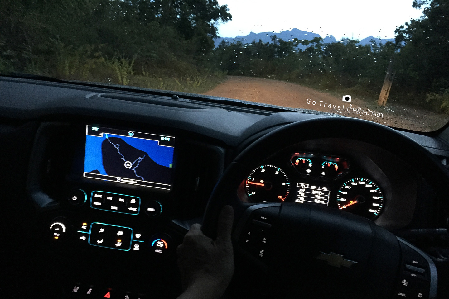
It's getting dark when I arrive.
Sweet Home Floating House
Turn on the high beams, flash the headlights, and honk the horn repeatedly to signal to the people on the island to come and pick us up. We have booked a floating hut here.
Coordinates of the island https://goo.gl/maps/aX1XJESQ8yo
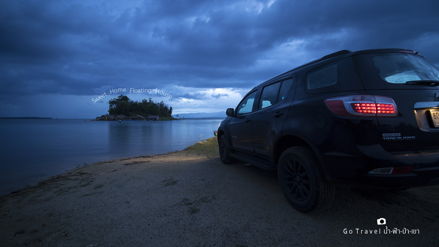
The sentence is already in English and does not require translation.
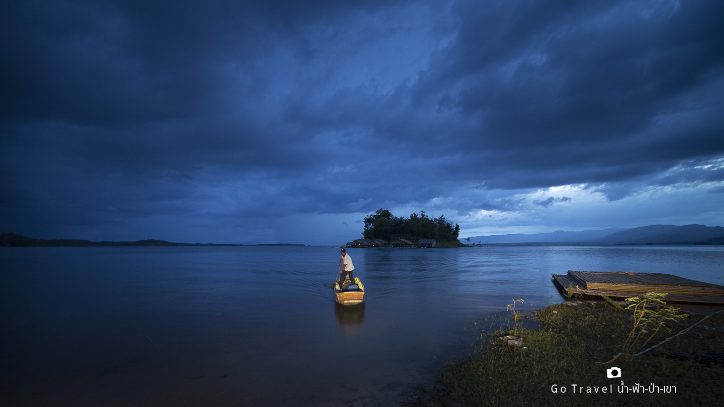
The motorboat arrived to pick us up. As soon as the engine was started, the throttle was released and the oars were grabbed to steer the boat. It was very fast because we were only a hundred meters from the shore.
The rain started to fall again. Fortunately, it came later than expected, otherwise we would have been drenched. After all, we had to carry our bags down to the boat.
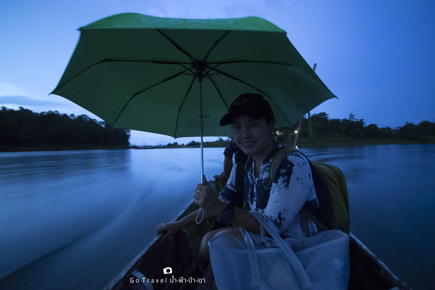
The last light of the day amidst the pouring rain on this small island barely illuminates the surroundings. The electricity here comes from a generator, providing enough light to see in patches. From this angle, peering through the darkness, it seems like there are fish cages out there. Tonight, we'll have dinner on the raft, enjoying our favorite drinks brought from the mainland, and then fall asleep to the sound of the rain.
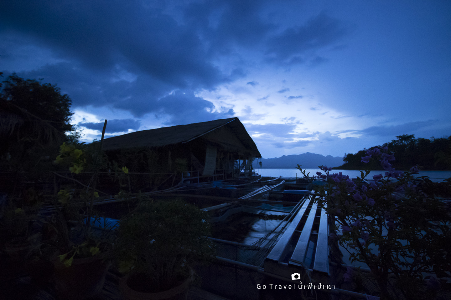
Day 2
Greetings, small island.
The morning rain has stopped, so I opened the window to take a look at the world outside. The view of the water is quite nice.
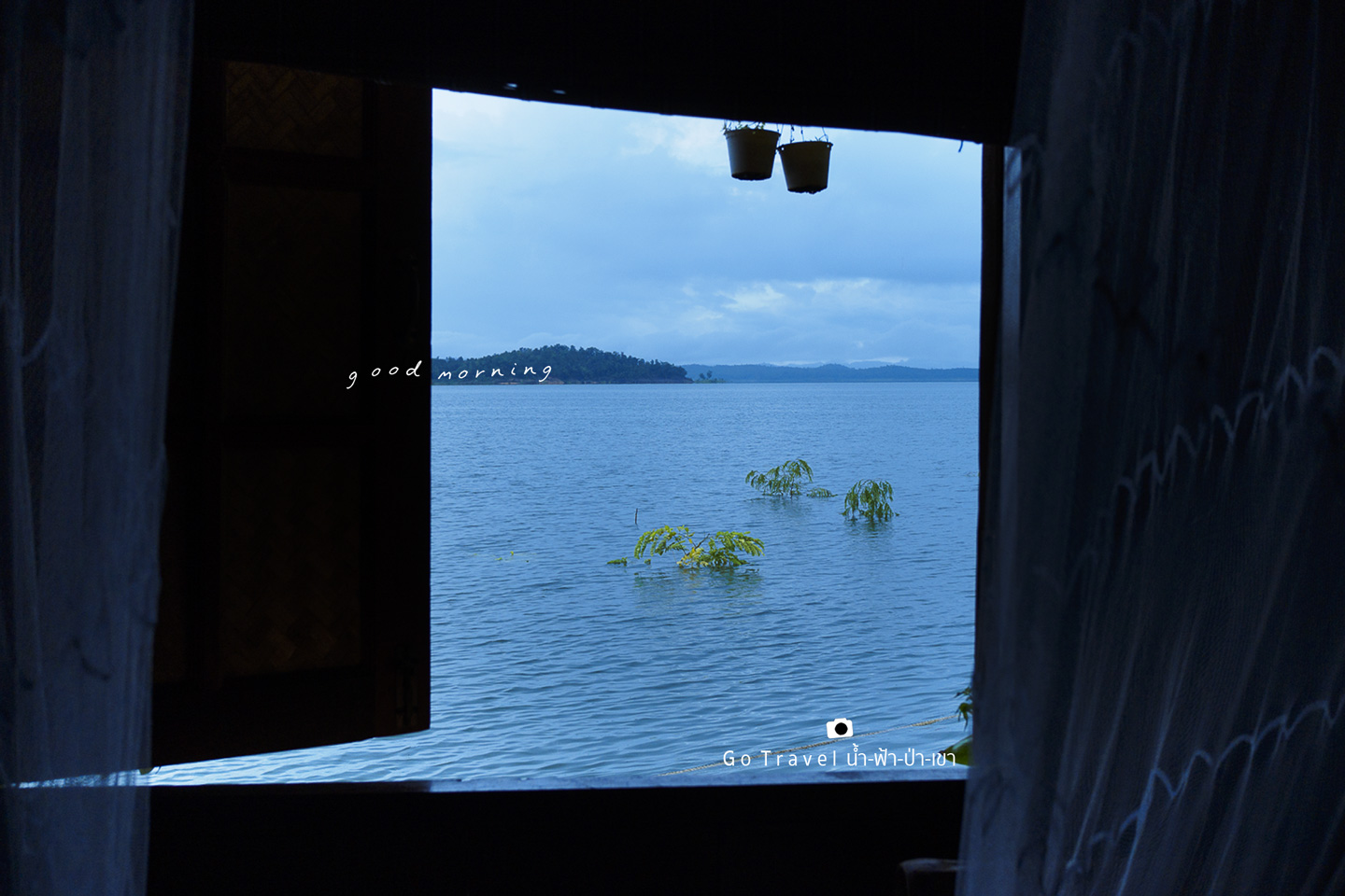
The sentence is already in English and does not require translation.
After exploring the surroundings, I found this hammock to be incredibly inviting for a nap. If I were to stay another night, I would definitely reserve this spot for an afternoon siesta. Its orientation perfectly avoids the afternoon sun.
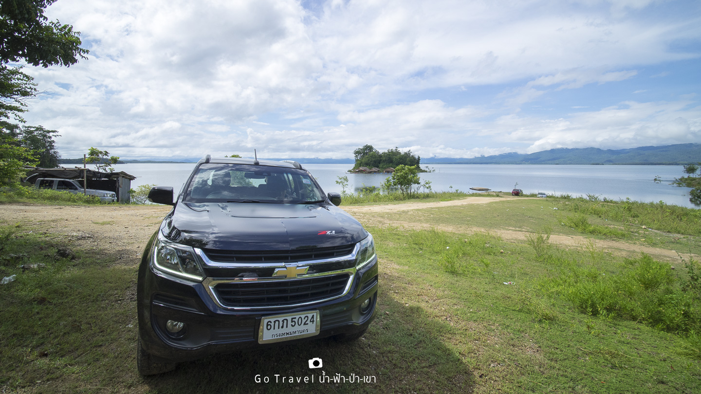
Looking back to the shore, we saw two cars parked. One was ours, the Chevrolet Trailblazer Z71. The presence of only two cars indicated that there were only two groups of guests staying at the resort. This meant that the island was incredibly private, with only a few rooms available. If we had brought a large group, we could have rented out the entire resort and had an amazing time.
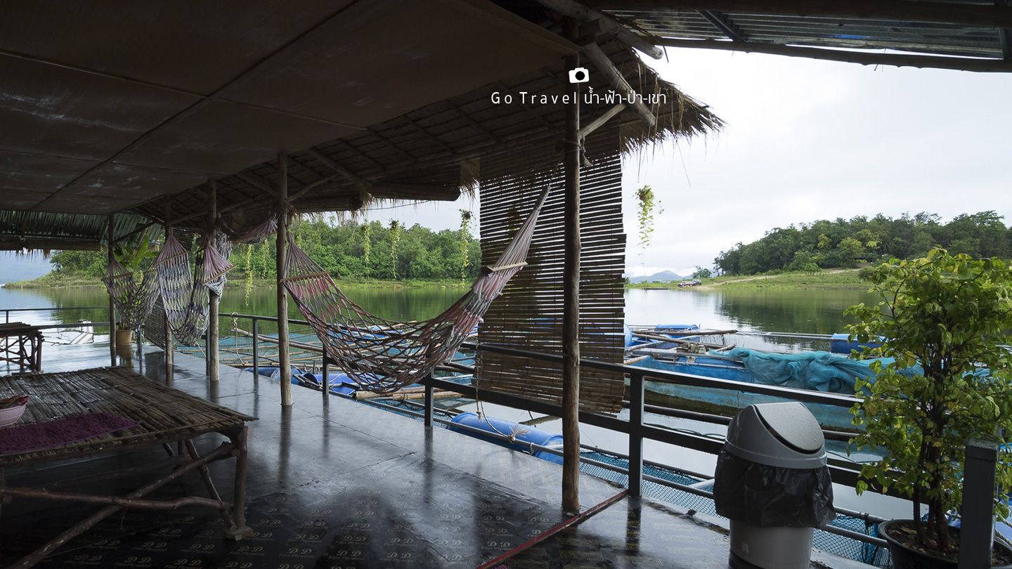
The sentence is already in English and does not require translation.
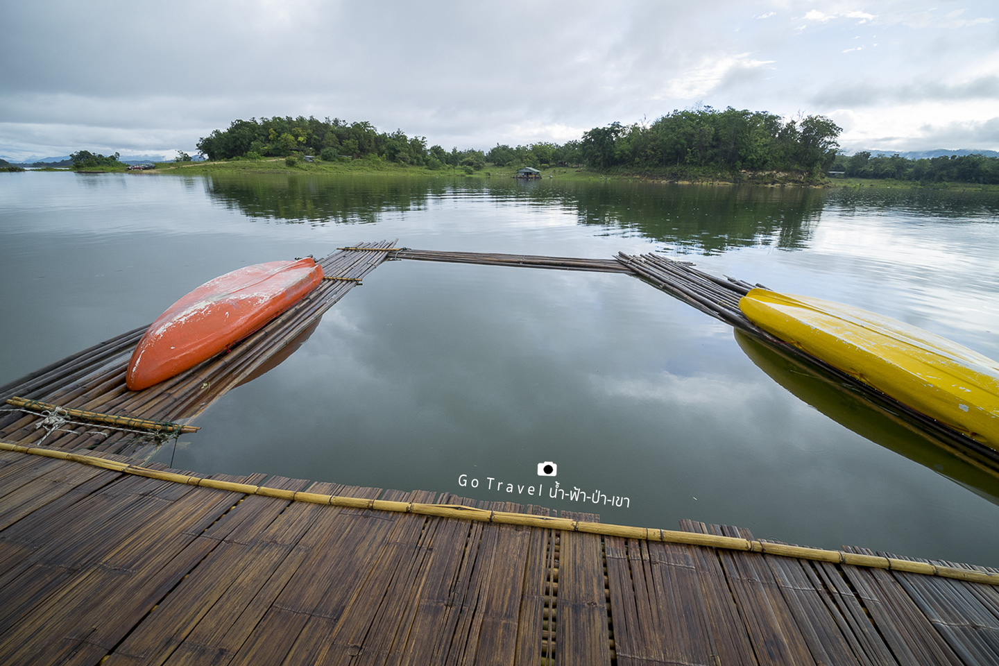
Standing by the edge of the pond, I looked back. I like this kind of thatched-roof floating hut. It has a rustic atmosphere.
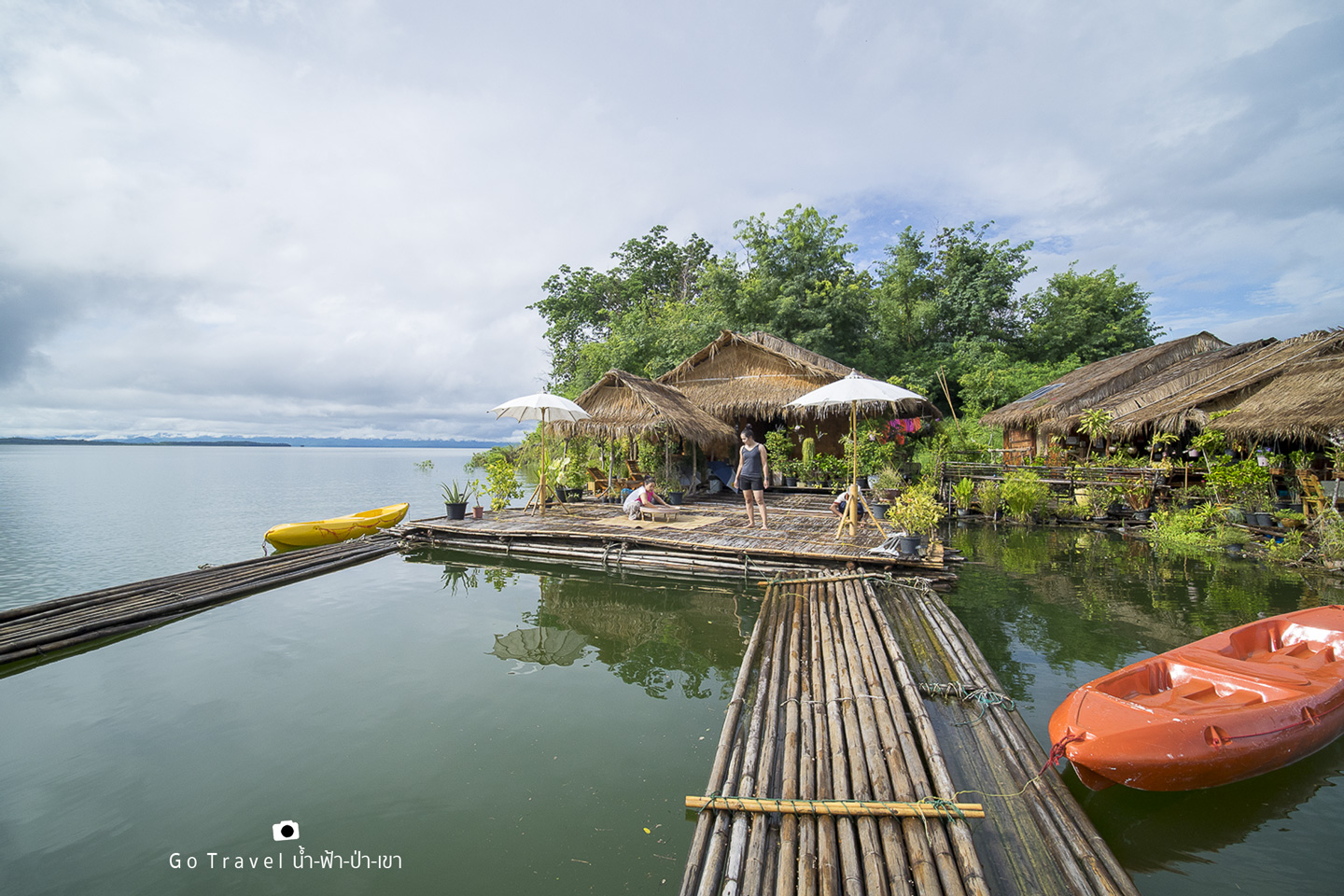
The camera pans around, showing the fish farm enclosure that was visible through the darkness last night. Next to it is the pavilion where we had dinner last night. We will have breakfast before checking out and continuing our journey.
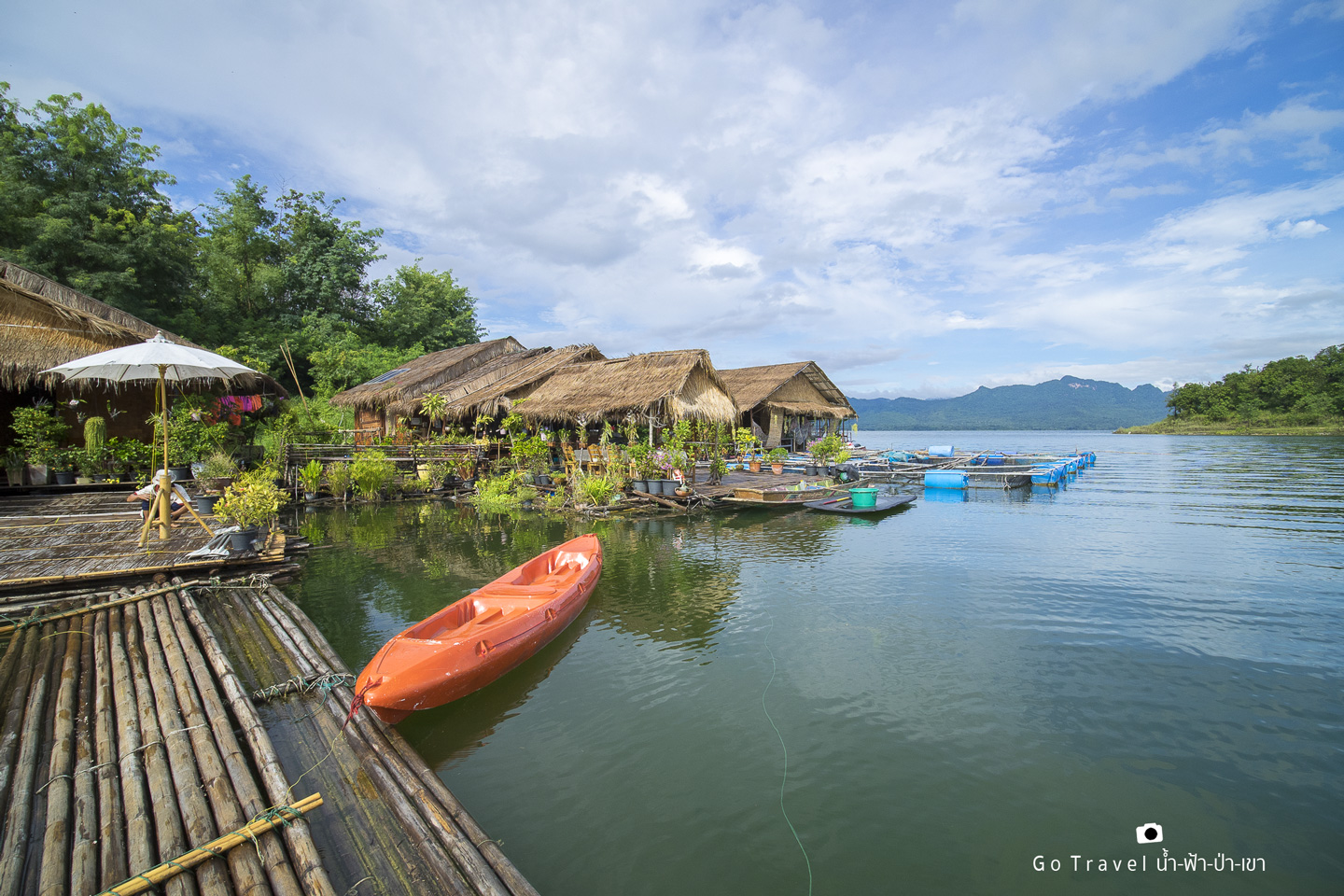
After spending the morning on the island, we returned to the mainland. We took one last look at the island before waving goodbye.
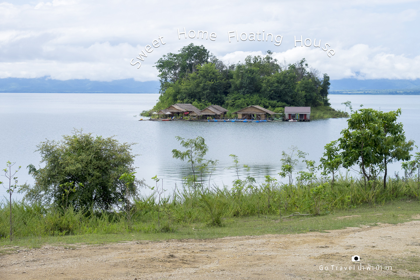
With the car loaded, we set off on our journey. Today, we will start by driving the car across the Teng River to Huai Mae Khamin Waterfall.
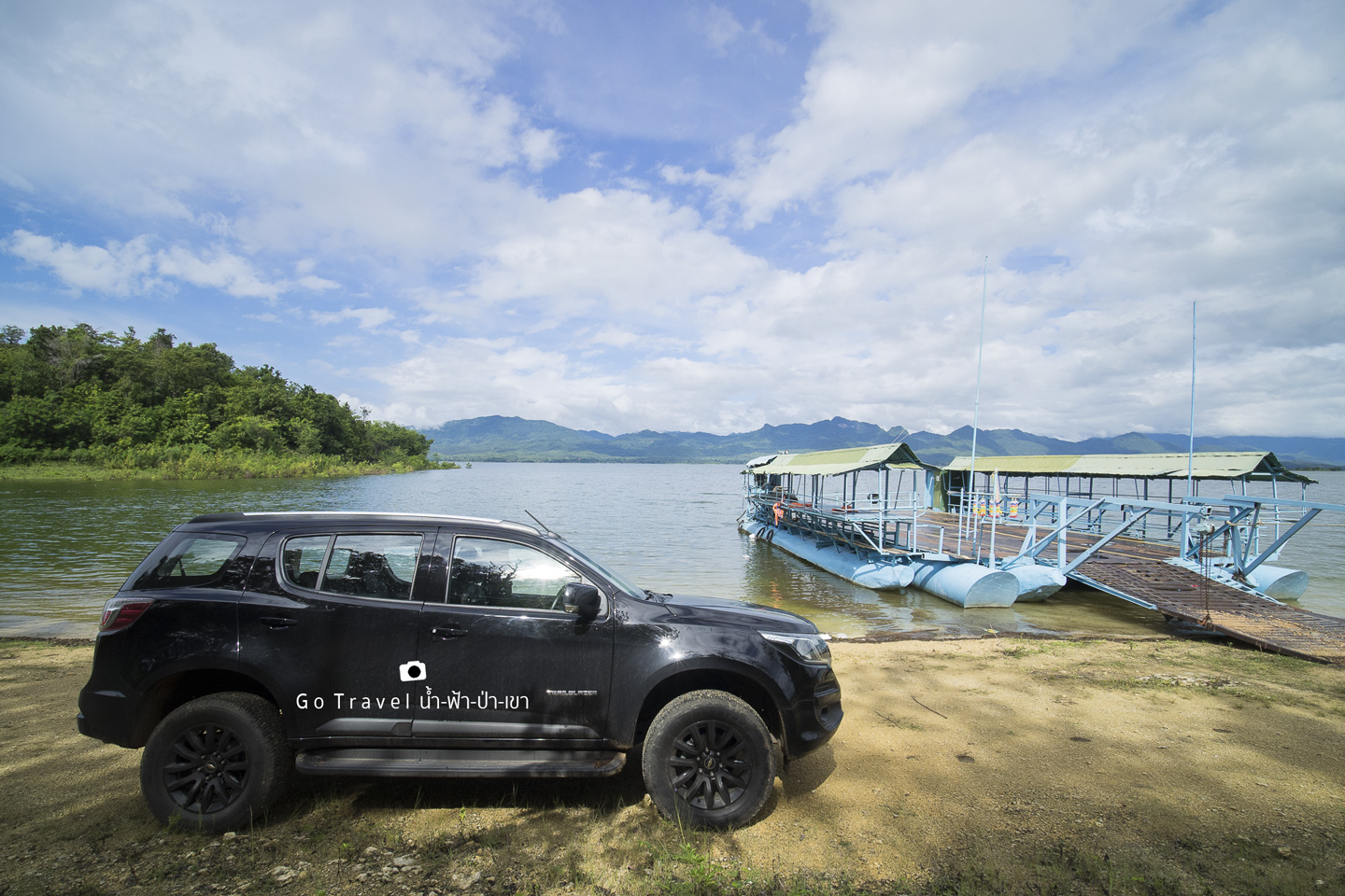
Waiting for Teng. Today is a weekday. Teng is running alone. This boat is not running, so I called Teng. Don't let me wait too long. Nowadays, fewer people use Teng. Since the road to Huai Mae Khamin, which is shorter and paved with good asphalt, people hardly use Teng anymore.
The sentence is already in English and does not require translation.
The provided text is empty. Please provide the text you want me to translate.
Here it is.
Service fee:
Motorcycles cost 50 baht each.
Vans cost 200 baht each.
Sedan and pickup trucks: 200 baht each
A single ferry crossing costs 300 baht.
If you arrive and don't see Teng, you can call these numbers: 086-1622964, 092-6035171. You don't need to write them down. Just wait for Teng in the area, and you'll find the phone numbers posted there.
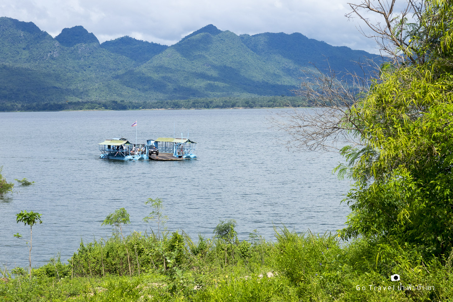
A long-tail boat ride for 300 baht. Two benches serve as seats and beds for a 4.5-kilometer, almost hour-long journey.
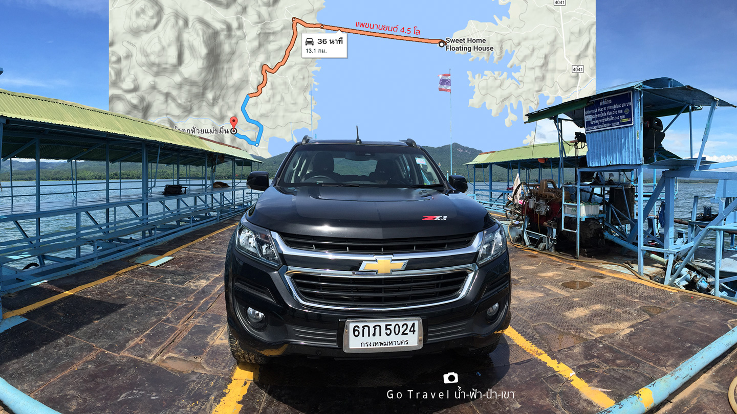
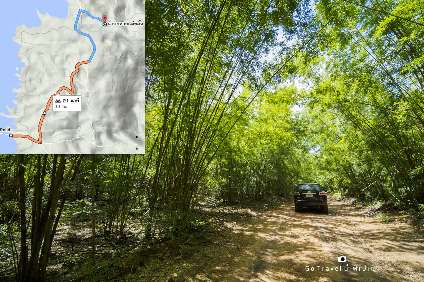
After disembarking, we swayed and swayed along the gravel road. The road surface was not very good. If anyone brought a sedan, be prepared for a bumpy ride. With this kind of gravel road, the remaining 5 kilometers were paved and smooth sailing. The total distance of 8.5 kilometers to Huai Mae Khamin Waterfall.
Mae Khamin Waterfall
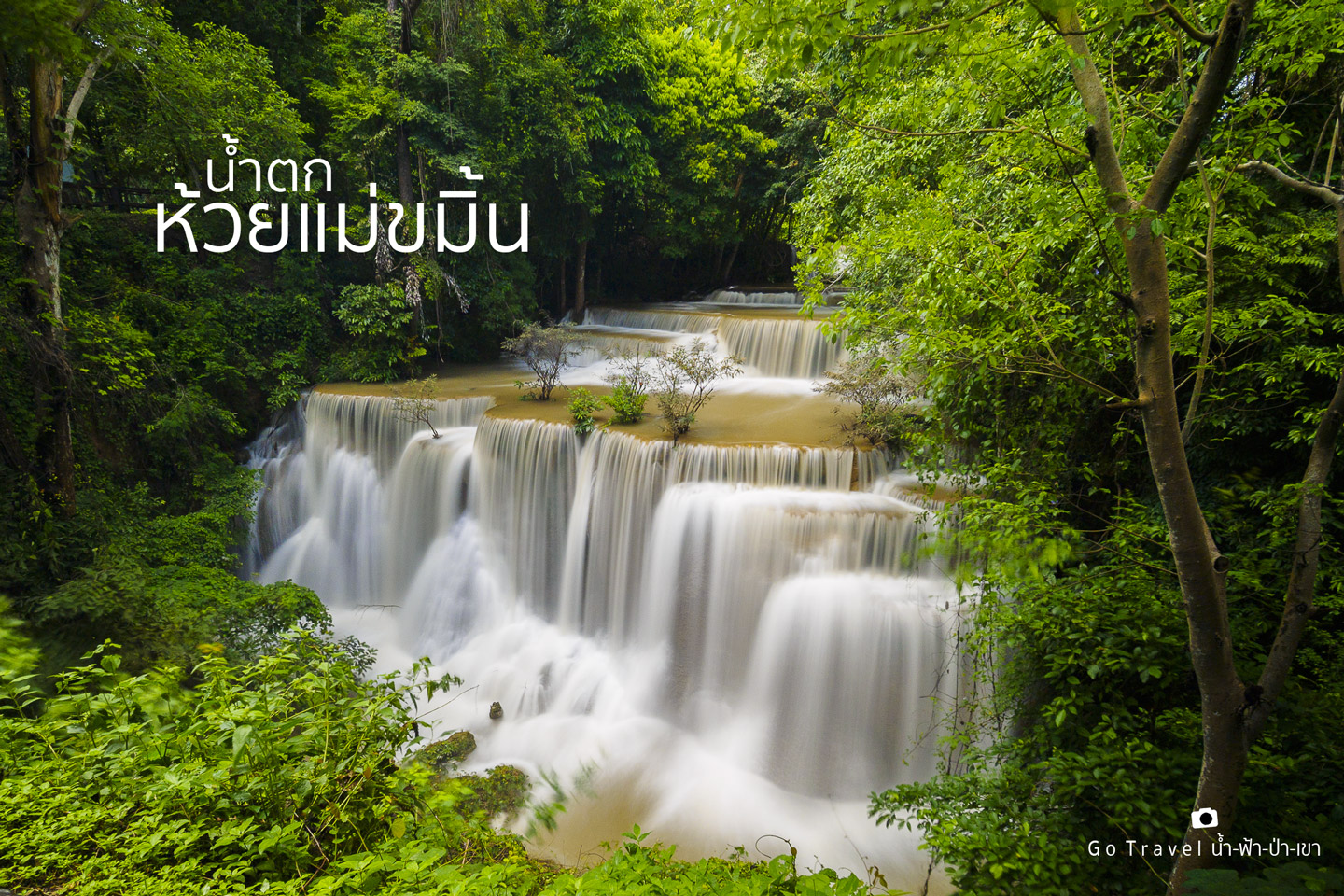
Upon arriving at Huai Mae Khamin waterfall at noon on a Monday, the place was surprisingly deserted, making it ideal for taking photos of the waterfall. However, to my disappointment, the water was reddish and strong. Typically, this waterfall is at its peak beauty during this time of year, marking the end of the rainy season and the beginning of the cool season in Kanchanaburi. However, the recent heavy rainfall has caused the water to turn red. Huai Mae Khamin is a limestone waterfall known for its stunning emerald green water. It is estimated that the water will return to its peak beauty within a week after the rain subsides.
This image depicts the first layer, "Dong Wan," where the midday sun shines through the leaves, casting a reddish hue on the rough surface of the water. The overall aesthetic is unappealing.
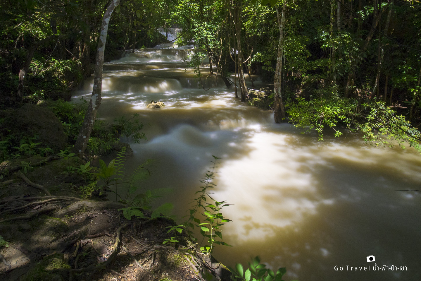
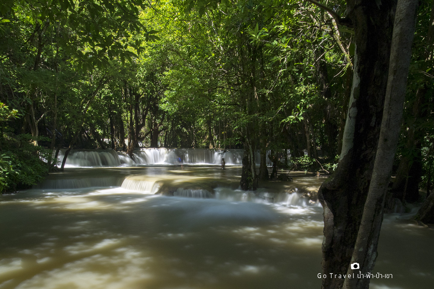
Ascend to the second floor, "Mahan Kmin." Our car is parked on the fourth floor, but we walked down to start taking pictures on the first floor and then went back up to the fourth floor before walking past the fifth, sixth, and seventh floors, completing every floor. Nowadays, the walkways are very well maintained.
The third level, "Wang Na Pha", has such strong currents that it's almost too dangerous to play in. It's starting to get a bit scary, haha. Let's move on.
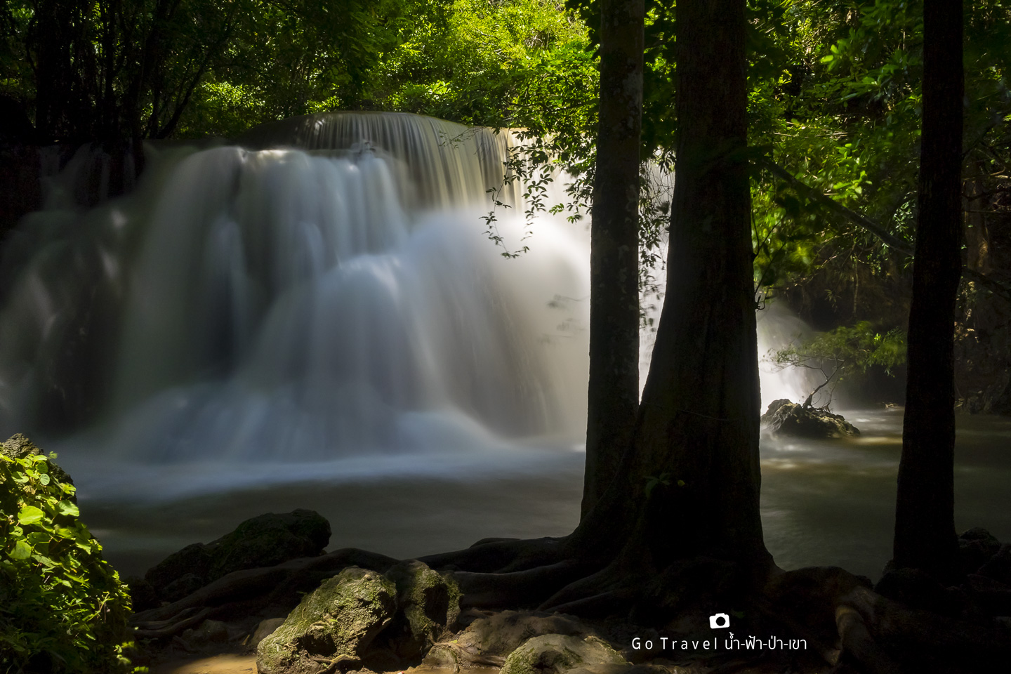
The fourth level of the "Chatkaew" waterfall, the protagonist of this story, will turn the color of the water into a cool milk tea color. However, it still maintains its beauty and dignity as one of the top ten waterfalls in the country. Finally, we finished taking pictures at this level and did not continue to levels 5, 6, and 7, which are far away. Moreover, we can guess that today is not a beautiful day for the Huai Mae Khamin Waterfall. However, from now on, for about a week until the dry season with less water again, I envy those who come here.
It's time to get started.
Disappointed with Mae Khamin Waterfall, I decided to try my luck at Pha Tad, the last waterfall on the plan, which is considered to be in the same national park as Mae Khamin. The difference is that Mae Khamin is located on the eastern side near the Sri Nakarin Dam, while Pha Tad is located on the western side of Thong Pha Phum District. The normal route would be to go back down the Erawan Waterfall, exit the Sri Nakarin Dam, pass the Tha Thung Na Dam, turn onto Route 3457 to cut across to Route 323, pass Sai Yok, and go up to Thong Pha Phum, a total distance of 159 kilometers... Too brutal. I'm too lazy to go.
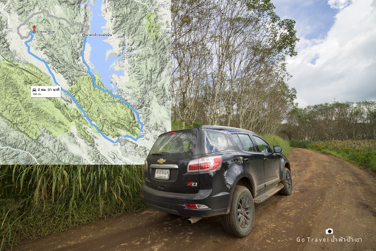
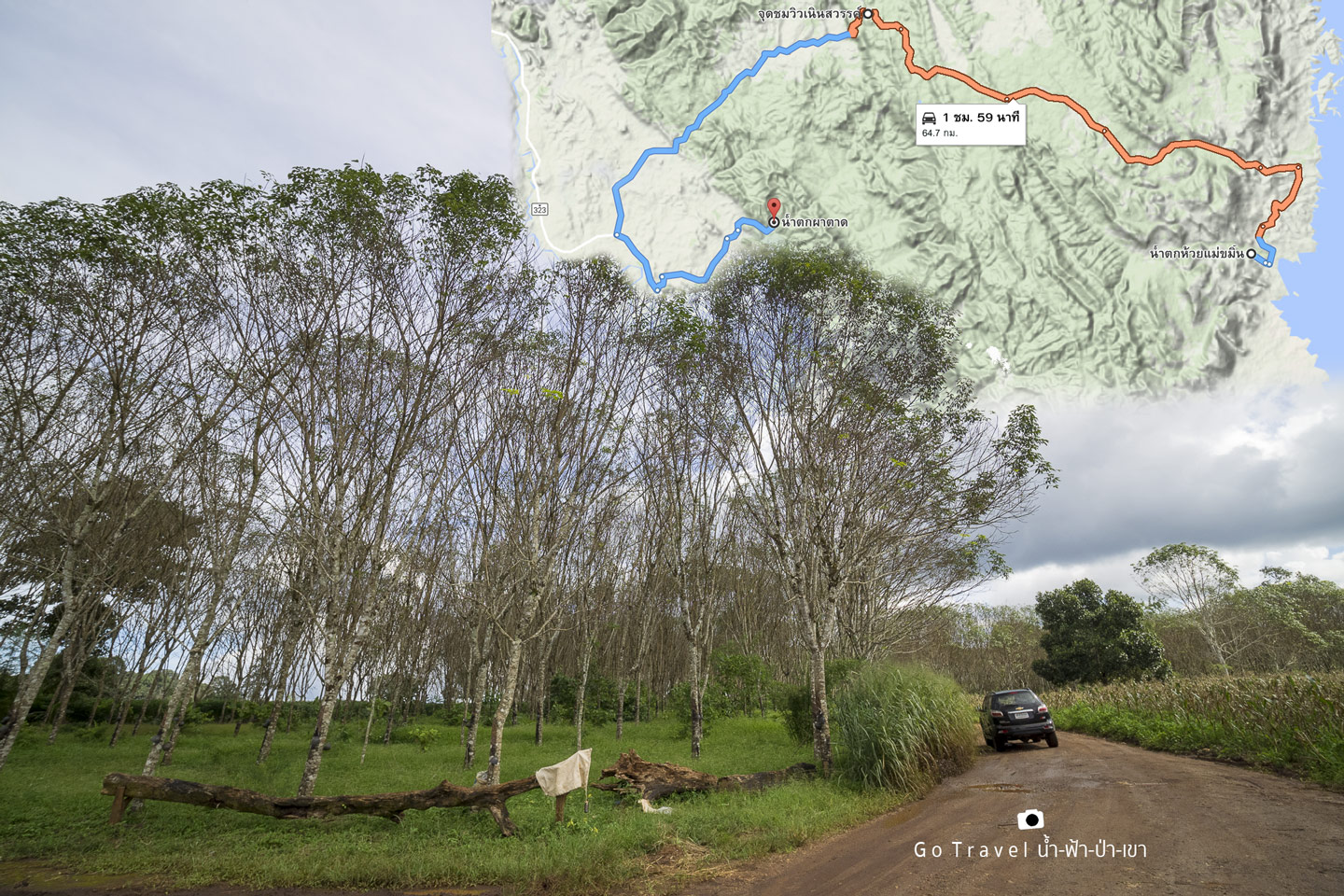
However, Google Maps suggests a shorter route, cutting across the mountain from the east side to Thong Pha Phum, a distance of only 60 kilometers. Although the time saved is not significant, as most of the road cuts through the forest, I drove this route ten years ago. At that time, I started from Lam Khlong Ngu, skirted the edge of Thung Yai Forest, passed Huai Khlit, and arrived at Huai Mae Khamin. I remember that the steepest section was at the end of Huai Mae Khamin, which is now paved. We checked the road conditions again with the park officials, who looked at our car and said, "It's okay, high cars can go through, the road is not difficult." This means that sedans should not go there. Let's go!
The map shows a brown line representing a tightly packed gravel mountain road, spanning 33 kilometers and leading to the scenic viewpoint of "Neen Sawan." From there, a paved road connects to Route 323 in Thong Pha Phum. However, be aware that mobile and internet signals are virtually non-existent along this route. Therefore, relying on your trusty Garmin GPS for navigation is crucial.
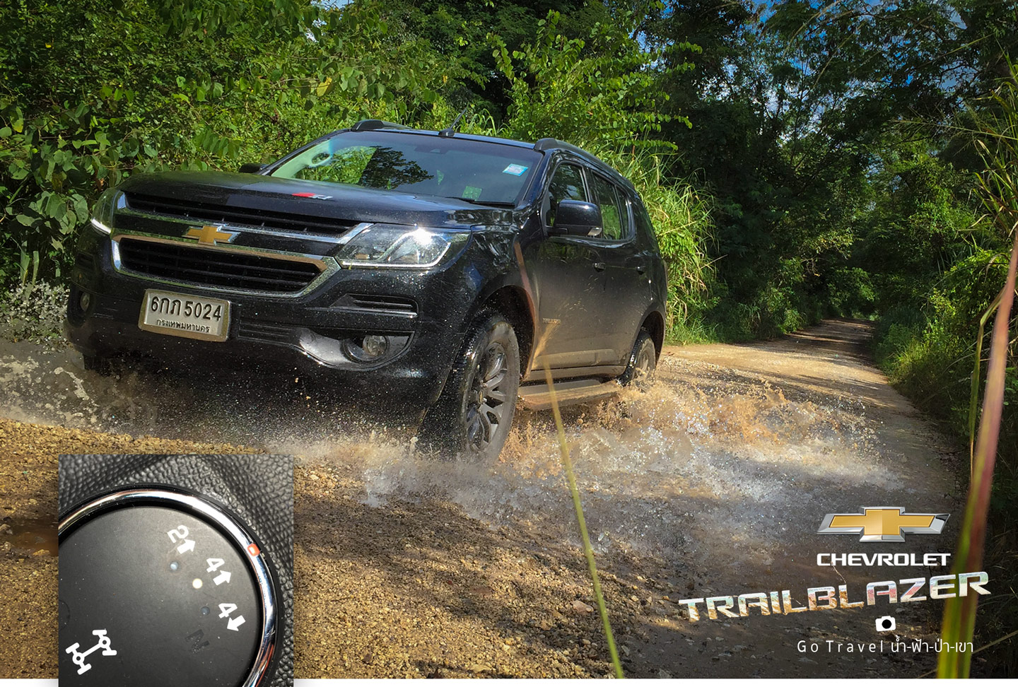
It's time to fill the four-wheel drive, even though the road conditions are good enough for two-wheel drive. But with this kind of surface, four-wheel drive is more fun. Hehe.
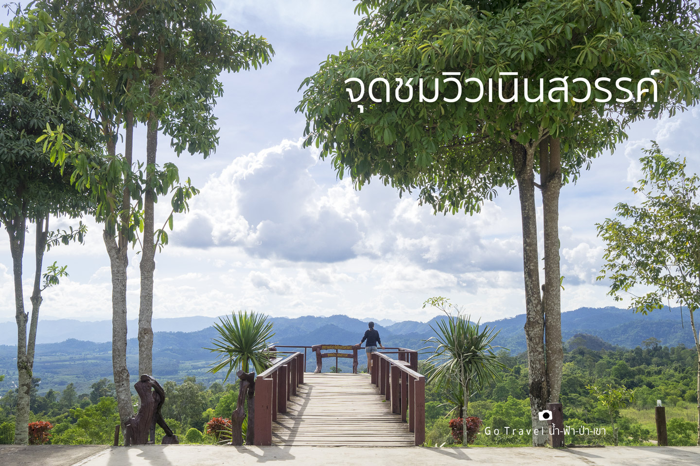
Heaven's Peak Viewpoint
Elevation: > 640 m above sea level.
The provided text is in Thai and includes a hyperlink. Here's the translation and breakdown:
Original Text:
พิกัด https://goo.gl/maps/8JbzkoSKhvF2
Coordinates: https://goo.gl/maps/8JbzkoSKhvF2
Breakdown:
- พิกัด: This translates to "coordinates" in English.
- https://goo.gl/maps/8JbzkoSKhvF2: This is a hyperlink that, when clicked, will open a location on Google Maps.
I have maintained the HTML structure and translated the text without adding any personal opinions or interpretations.
The journey to the Heaven's Ridge viewpoint took exactly 30 minutes. The road conditions were excellent, with no steep inclines, deep potholes, or rough surfaces. Concrete sections were interspersed throughout the route. Even during the rainy season, this route is accessible to all types of vehicles, including sedans with low ground clearance. The drive took exactly one hour.
Arriving at the Neinsawan viewpoint in the late afternoon, the view opens to the west. The sun was glaring, indicating that this viewpoint would be beautiful in the morning. It is possible that the area in front of us could even be a sea of fog. This is purely speculation.
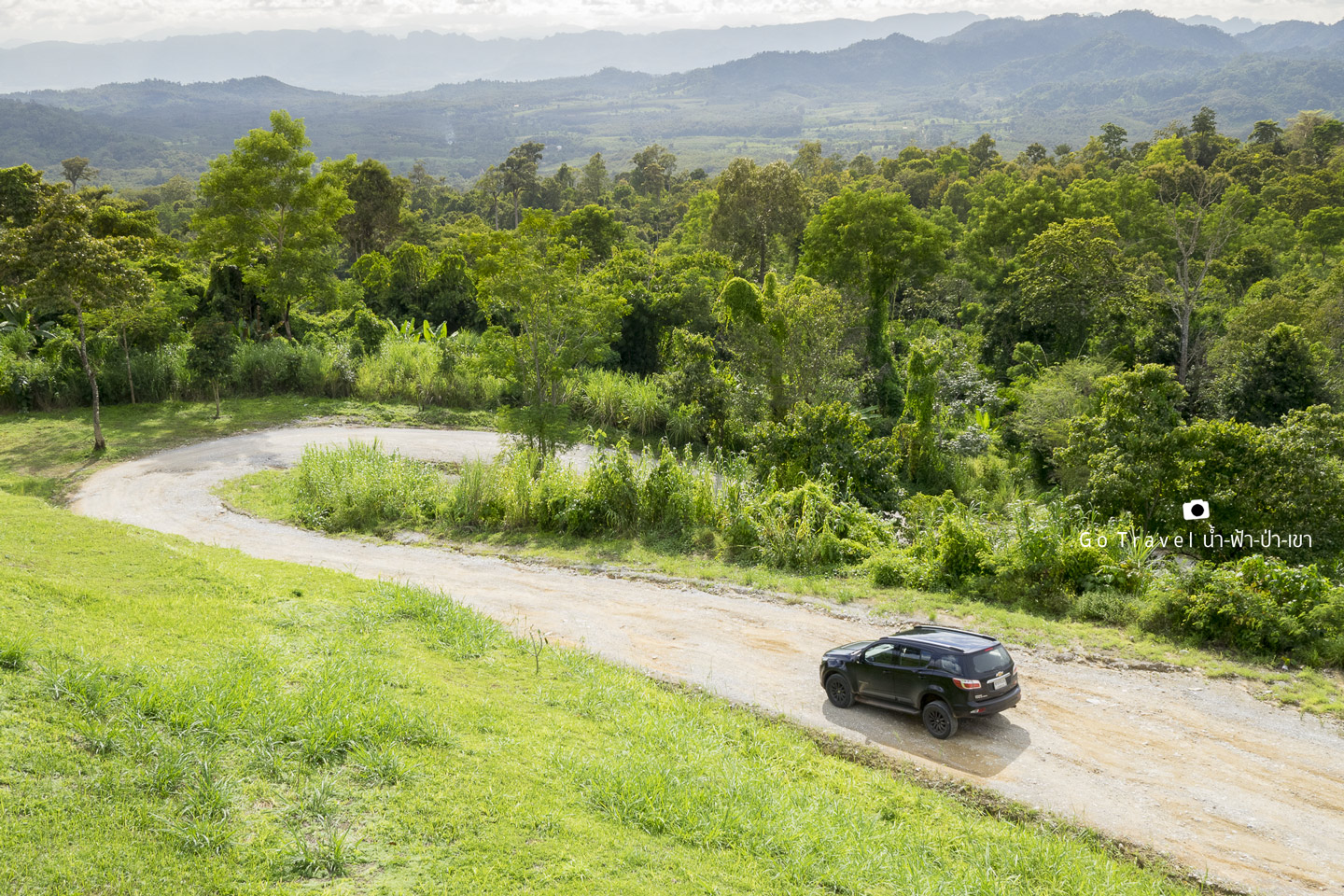
The road then gently descends for two kilometers, where the gravel ends and paved asphalt begins. The road continues straight ahead, leading to the main road, where you can finally pick up some speed.
Pha Tad Waterfall
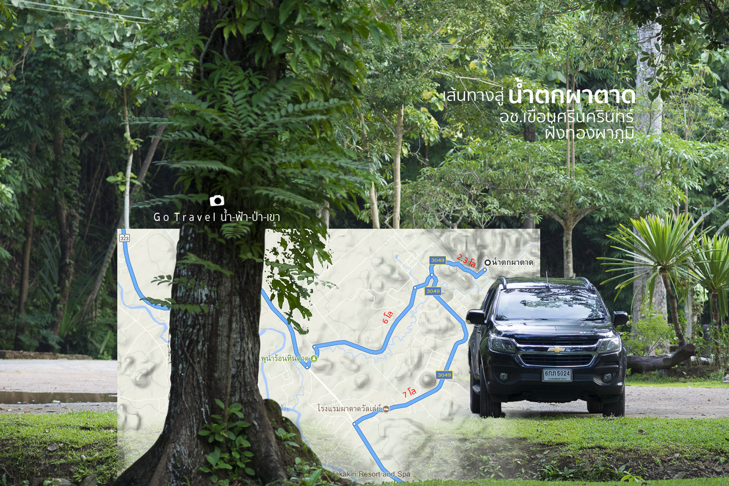
The road leads to Highway 323, Saeng Chuto Road again at Km.108 Kanchanaburi-Thong Pha Phum. If you turn right, you will go to Thong Pha Phum, which is only 16 kilometers away from Thong Pha Phum intersection. Turn left to Amphoe Sai Yok, continuing to Amphoe Mueang Kanchanaburi. We turn left and go straight for 3.4 kilometers to the intersection to Hin Dad Hot Spring. Turn left and pass the hot spring. Follow the sign to Pha Tad Waterfall for 6 kilometers from the main road entrance. You will arrive at the Forest Protection Unit.4 (Pha Tad).
Parking coordinates: https://goo.gl/maps/UxbHUNrfamF2
The return trip took a different route, not backtracking on the original path. The 7-kilometer route led to another road, about 2 kilometers from the Hin Dad hot spring junction, effectively shortening the distance.
This waterfall is breathtakingly beautiful, so stunning that it makes you forget the world around you. It's surprising that such a magnificent sight isn't more widely known.
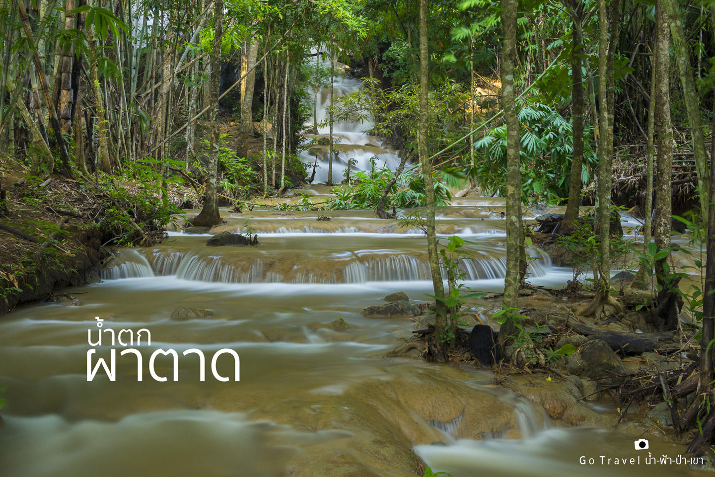
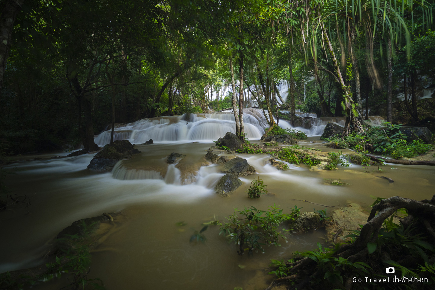
This is a waterfall with a strange landscape for me, who has been to many waterfalls. It's like I've entered a dimension where the whole forest is full of waterfalls flowing in all directions!
Pha Tad, which translates to "waterfall cliff," aptly describes the cascading waterfalls that adorn its face. However, upon witnessing its grandeur, I find myself compelled to rename it "the waterfall forest," for it is a place where water and vegetation intertwine in a breathtaking symphony of nature.
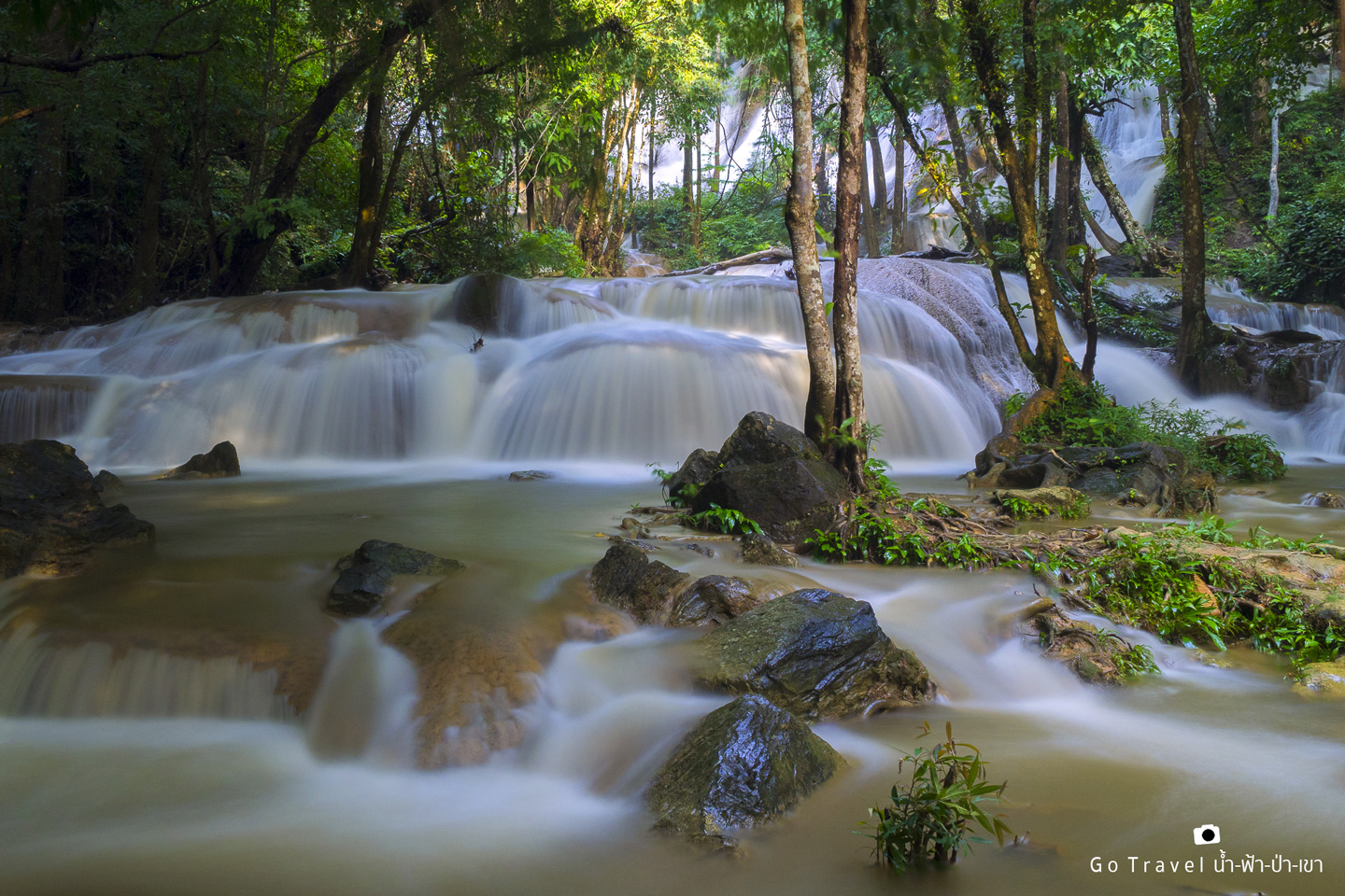
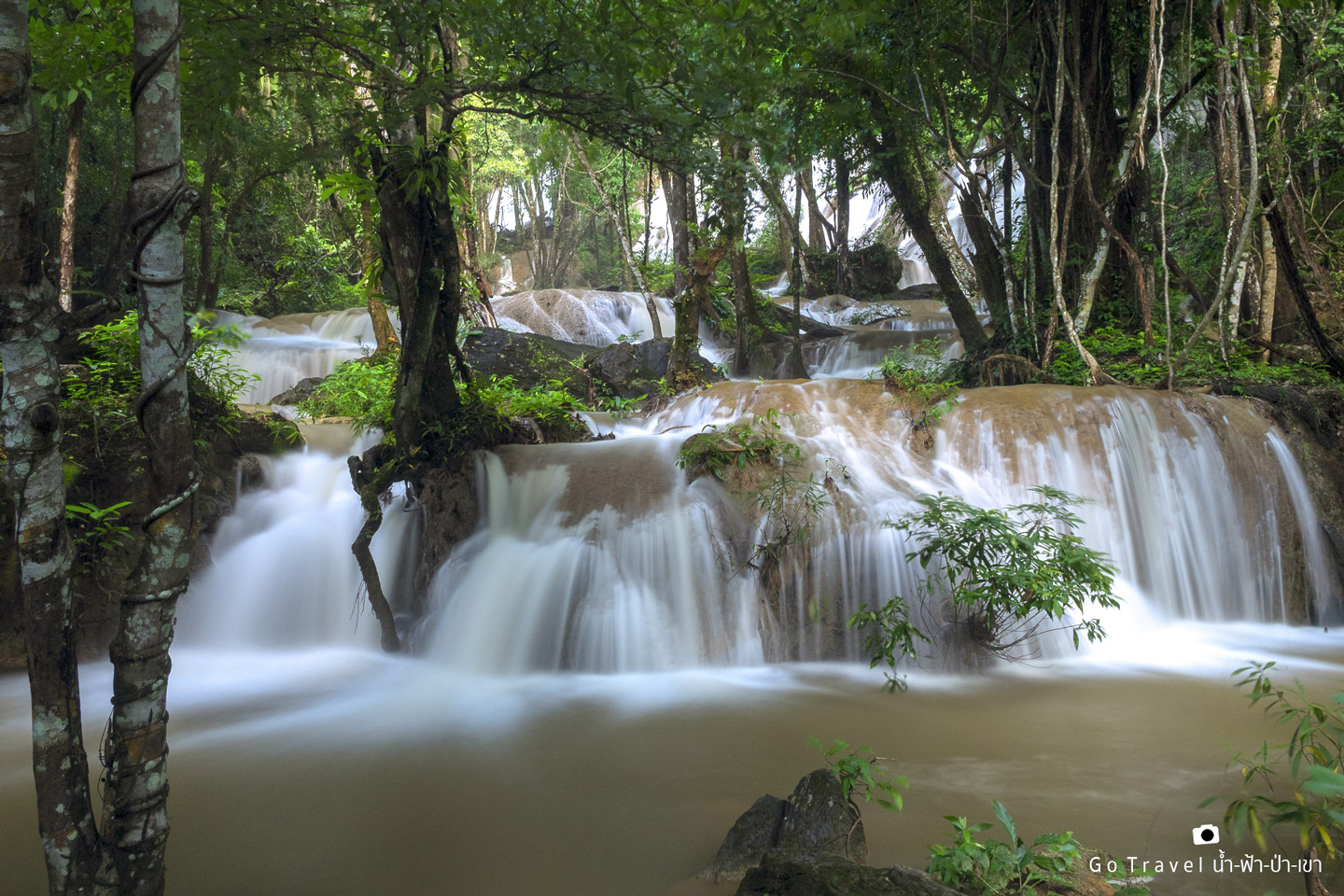
The cascading water is so vast that counting its layers would be an impossible task. There are no visible markers to indicate the number of layers. While some sources claim there are three layers, it feels more like being surrounded by a colossal waterfall with countless tiers.
The provided text is an empty paragraph containing only a line break. As there is no actual content to translate, the output remains the same:
Come and experience it yourself to see if you agree with me. The walking distance is not too far. The short trail is only 300-400 meters long. If you are too lazy to walk, you can park your car and see the waterfall without having to walk anywhere.
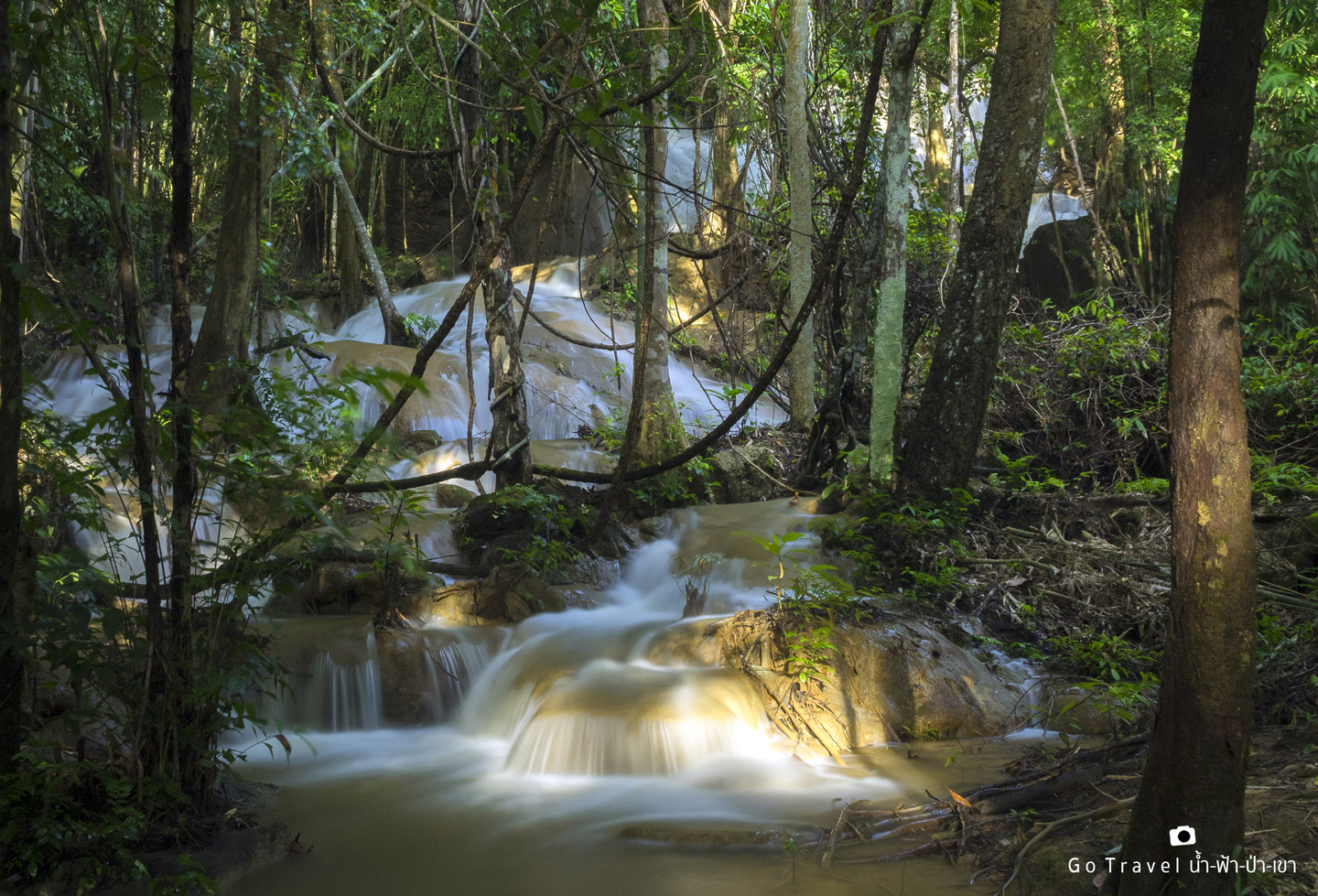
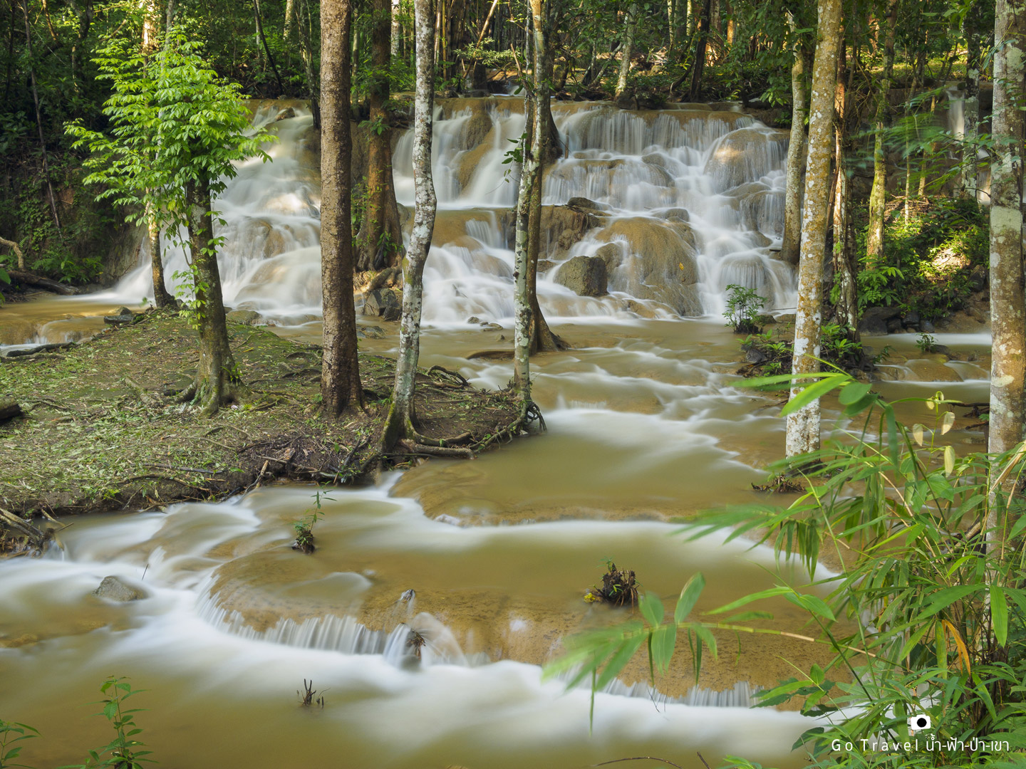
Despite arriving just as the sun began to set, casting a soft, golden glow, we still managed to capture some stunning photographs.
I understand that you want me to translate the sentence "Please Translate
Is there anything else I can help you with?
This is the first level by the roadside, where I said you don't even have to walk to see the waterfall.
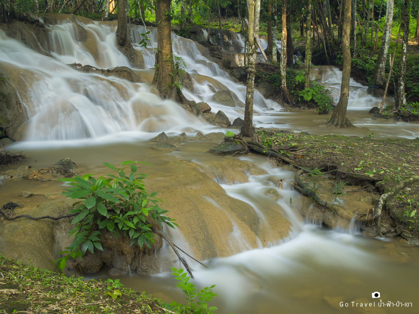
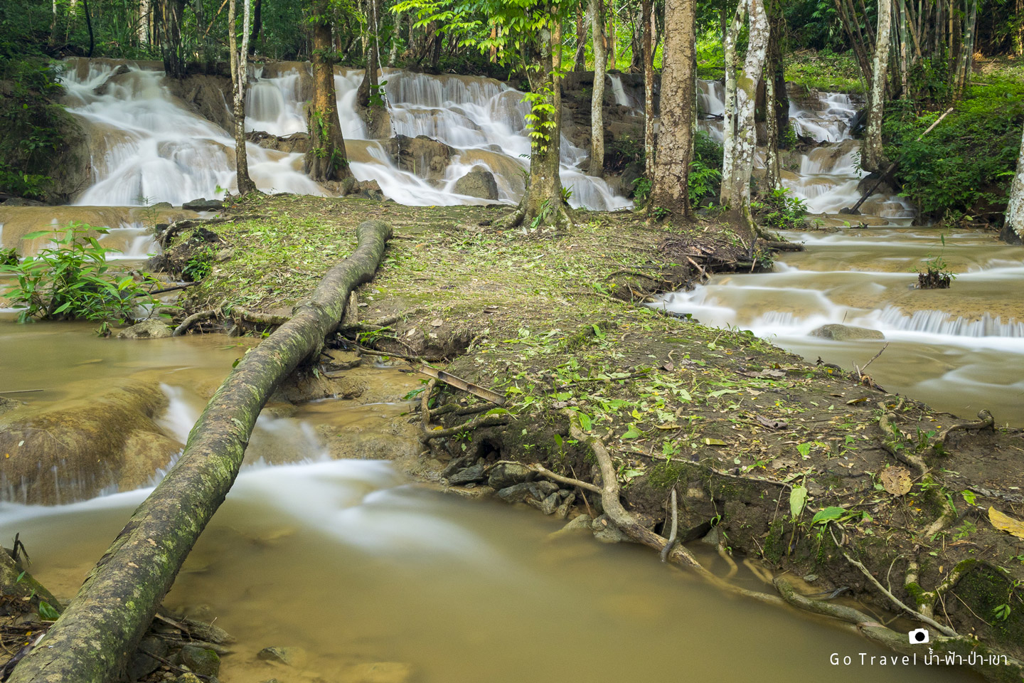
The first layer is a wide-angle view from another angle. I hesitated for a long time whether to cross the wooden bridge. In the end, I decided to cross it. It's like an island in the middle of a waterfall. If I can cross it, I can set up the camera in the middle. I'm not afraid of falling and getting wet, but I'm afraid of the camera lens breaking.
The provided text is empty. There is nothing to translate.
This is the angle you get after crossing over.
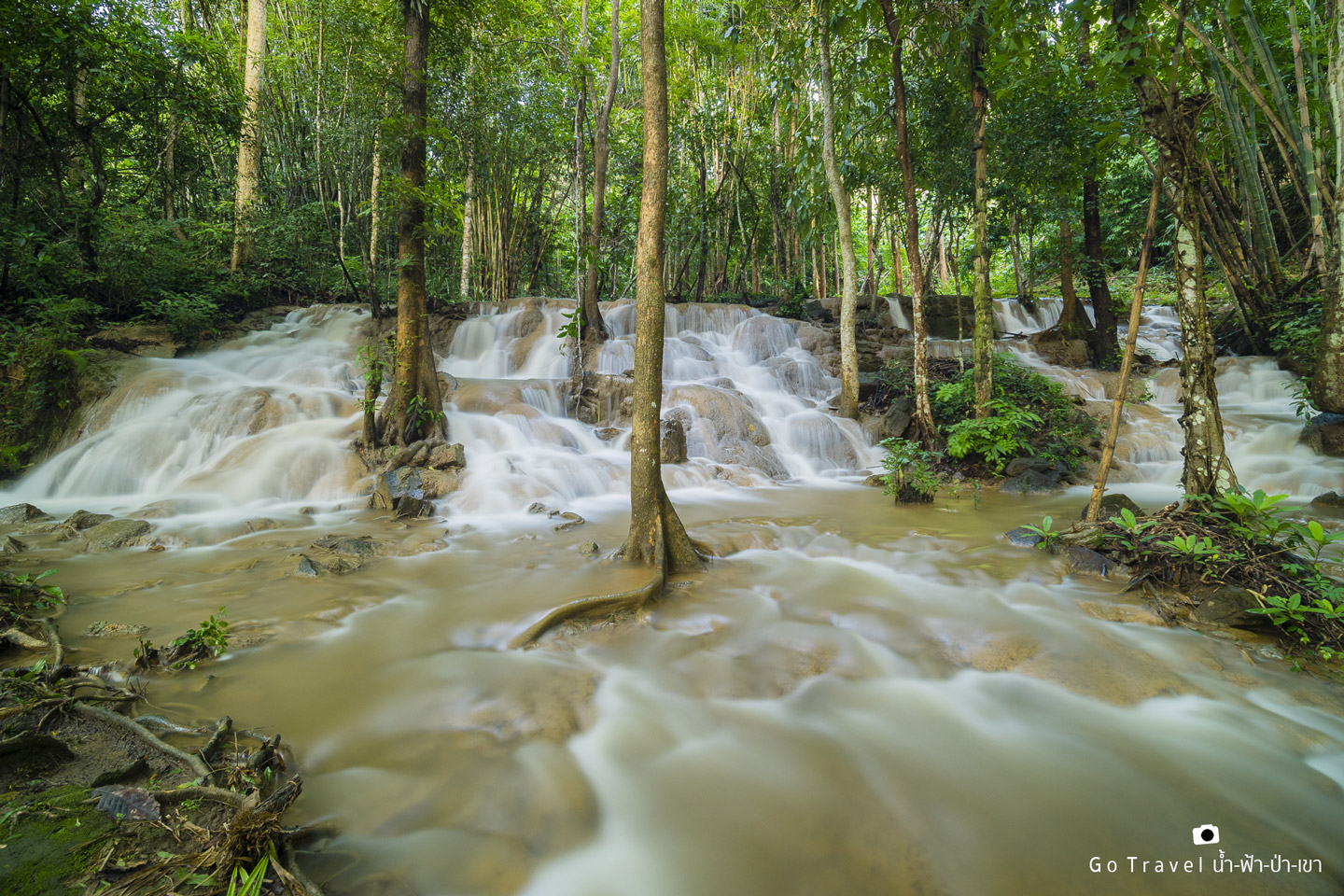
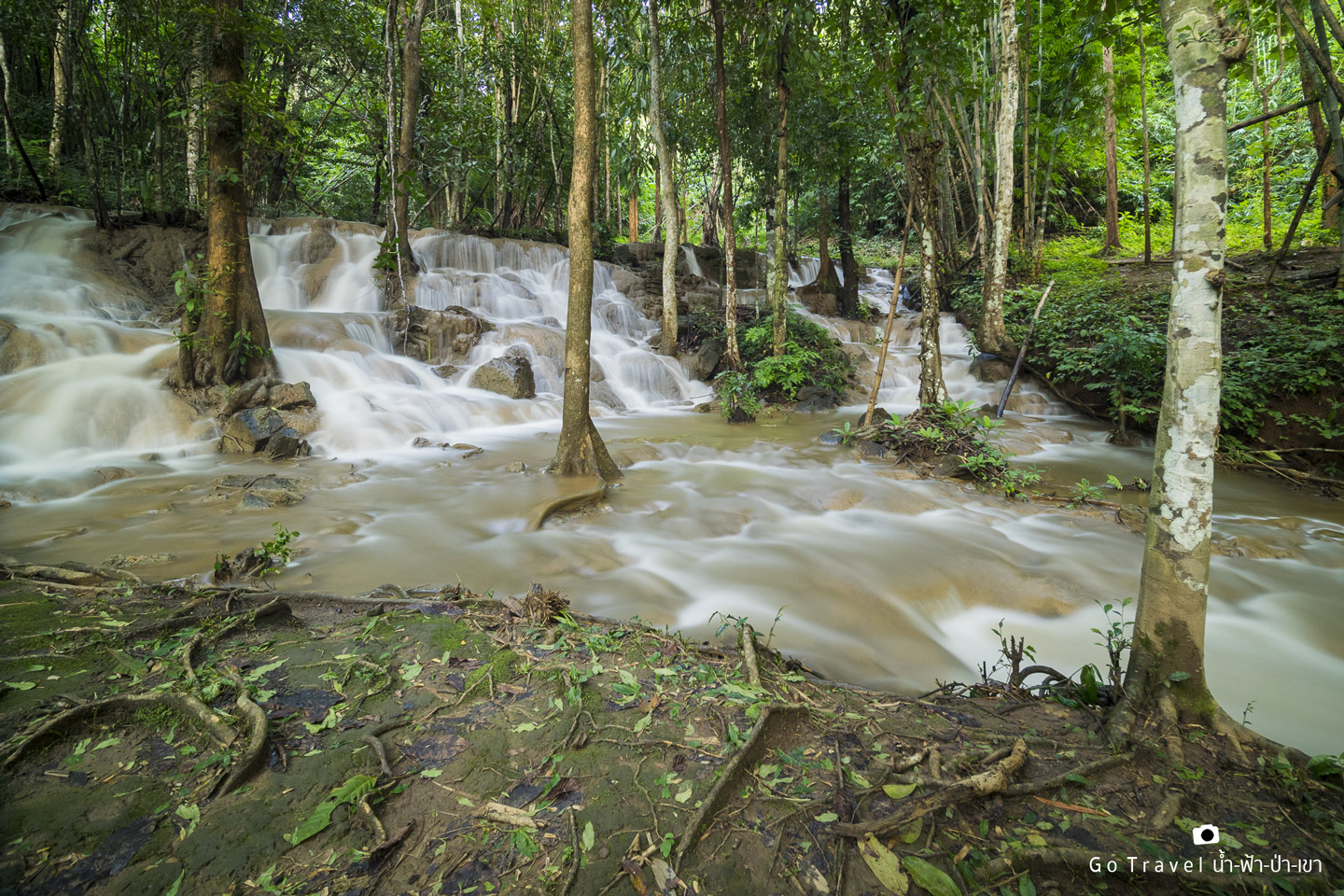
And this angle
The photographer continued to capture the scene, unsure if this was the most beautiful moment of Pha Tad. Having never visited before, they compared it to Huai Mae Khamin, where the water flowed so forcefully that it appeared red. If Pha Tad were to suffer the same fate, it could become even more stunning. The pools of water might turn emerald green, similar to other limestone waterfalls like Erawan and Huai Mae Khamin.
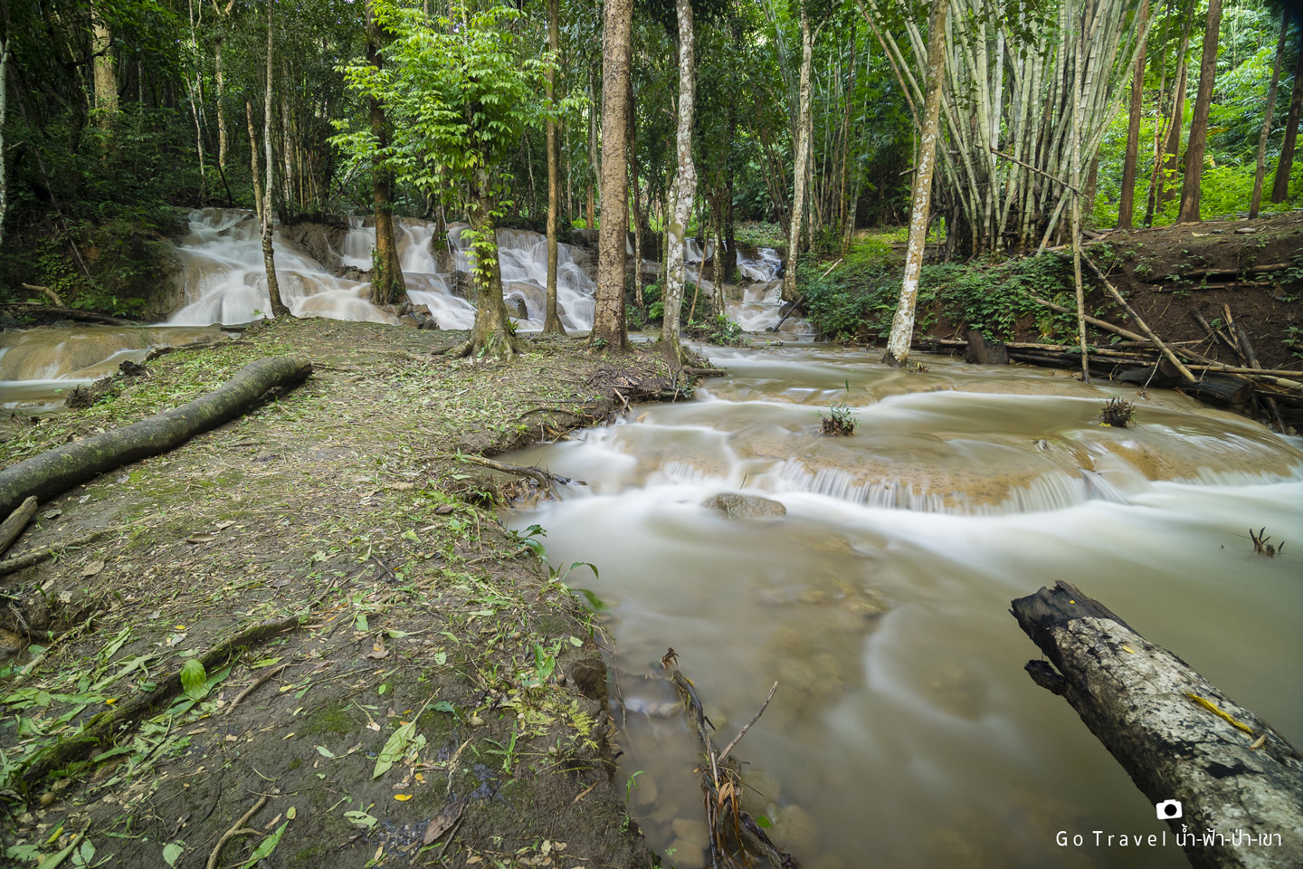
The provided text is an empty paragraph containing only a line break. As there is no actual content to translate, I cannot provide a translation in this instance.
Please provide a sentence or phrase that requires translation, and I will be happy to assist you.
It was time to leave the house. There wasn't enough time to play in the waterfall because we hadn't prepared to play. We thought about coming back again and camping here for a night. The campsite is right in front of the waterfall. We saw some people camping there.
After a long journey back to Bangkok, the 1-night, 2-day road trip to conquer 3 waterfalls came to an end.

Note: The original text is empty, so the translation is also empty.
The provided text is an empty paragraph containing only a line break. There is no content to translate.
The sentence is already in English and does not require translation.
น้ำ-ฟ้า-ป่า-เขา
Friday, November 8, 2024 4:05 PM


