Hello everyone, this is my first review of 2018. Happy New Year to all of you. This review is about a trip I took back in November of last year. It took me a whole year to write it, haha. Anyway, let's get to the point. This trip was my last hike of 2017. I had been wanting to hike Doi Luang Chiang Dao for many years, and this year the timing was finally right. But since I was already going to be in the area, I decided to make the most of it and also hike Doi Pha Hom Pok. This way, I would be able to check off the top three mountains in Thailand: the highest campsite in Thailand (Doi Pha Hom Pok), the second highest peak in Thailand (Doi Pha Hom Pok), and the third highest peak in Thailand (Doi Luang Chiang Dao). Let's see how it went.
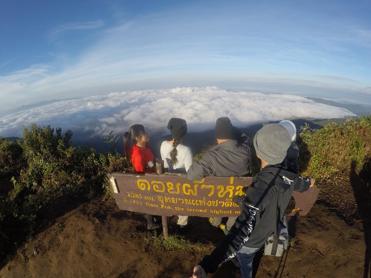
A picture of the sea of mist at Doi Pha Hom Pok to whet your appetite. This trip was definitely worth it. The mist was thick, the stars were bright, and we were exhausted to the point of almost giving up. This trip was truly amazing.

The following is a translation of the provided text:
Rough trip schedule for November 18-20, 2017.
Departing in the late afternoon, we drove through the night, arriving at Baan Rai Bua Daeng in the morning. After admiring the mist, we proceeded to the Doi Luang Chiang Dao car park. Following a short drive, we embarked on a hike to the summit, where we pitched our tents and witnessed a breathtaking sunset from the highest point of Doi Luang Chiang Dao.
On the second day, we woke up at 4:00 AM to hike to the top of Giw Lom Tai to see the sea of mist. We then hiked down and continued to Doi Pha Hom Pok to set up our tents.
On the third day, I woke up at 3:30 am to walk another 3 kilometers to the highest peak of Doi Pha Hom Pok to admire the 360-degree sea of mist. I then walked down the mountain via the Baan Lek in the Big Forest project, stopped at the Him Nam coffee shop, and returned to Bangkok.
All photos were taken with Nikon D7200 18-140 fix35 1.8G tamron 70-300vc and Gopro hero 4 silver.
Check out the video first and follow Boy Travel Thailand for more.
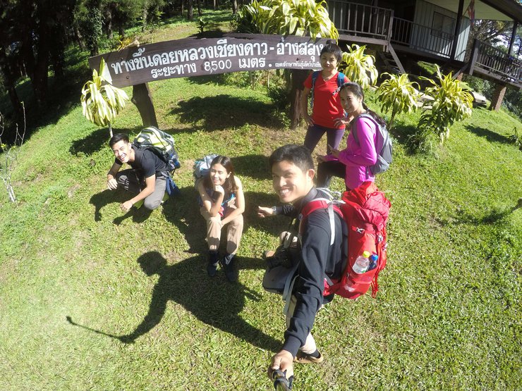
The six-member trip began with one member being picked up in Lampang. The journey was made in a 4x4 driven by Big;u, ensuring a smooth ride on all terrains. The Vios has not been used for trips recently. With five to seven members, using two cars would be wasteful, so they opted to squeeze together, creating a warm atmosphere.
Departing Bangkok at 9:30 PM, we followed the familiar route through Suphan Buri, driving through the night. By 5:30 AM, we had arrived in Chiang Dao district.
Our first goal today is to go up to Ban Rabeang Dao to see the mist. It's not difficult to get there, and I've been there many times before. But the others haven't been there yet, so I'm taking them to see the morning view. However, the mist is a bit thin today.

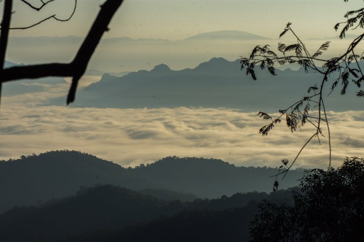
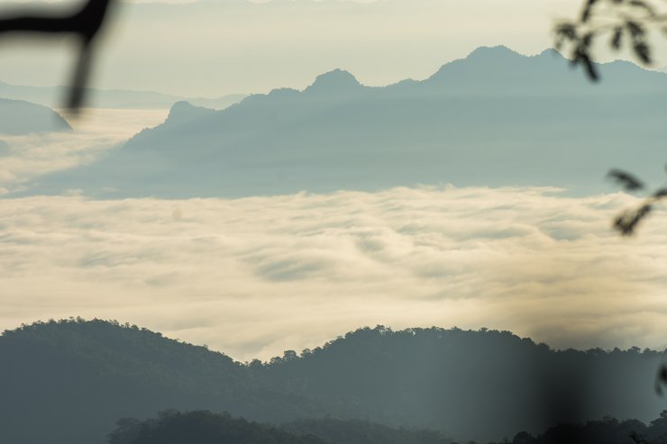
After taking photos of the mist, we descended to the Chiang Dao Wildlife Sanctuary. On the way down, we encountered a beautiful sea of mist, but the trees partially obscured it, so we had to zoom in.
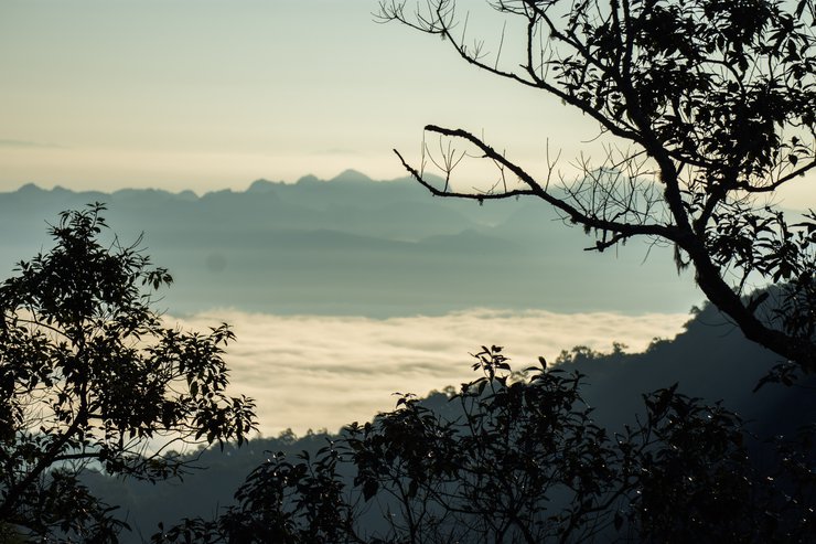
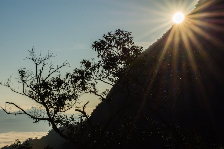
This photo is meant to capture the sun's corona, but the 70-300mm lens makes it look a bit stretched out.
The provided text is an empty paragraph containing only a line break. As there is no actual content to translate, I cannot provide a translation in this instance.
Please provide a sentence or phrase for me to translate.
Upon arrival at the assembly point for the Doi Luang Chiang Dao trek, we organized our belongings, weighed our backpacks, and completed the registration process. The booking was handled by my sister who resides in Lampang, who secured our spots during the booking window.
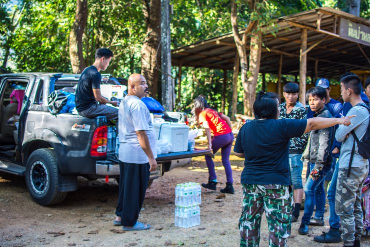
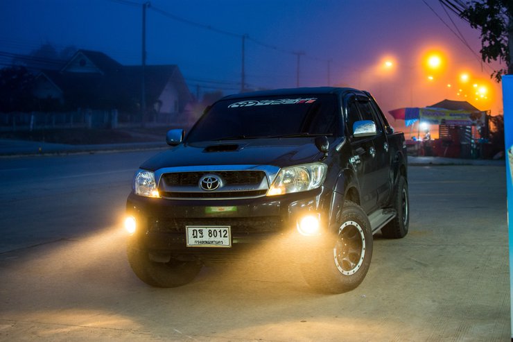
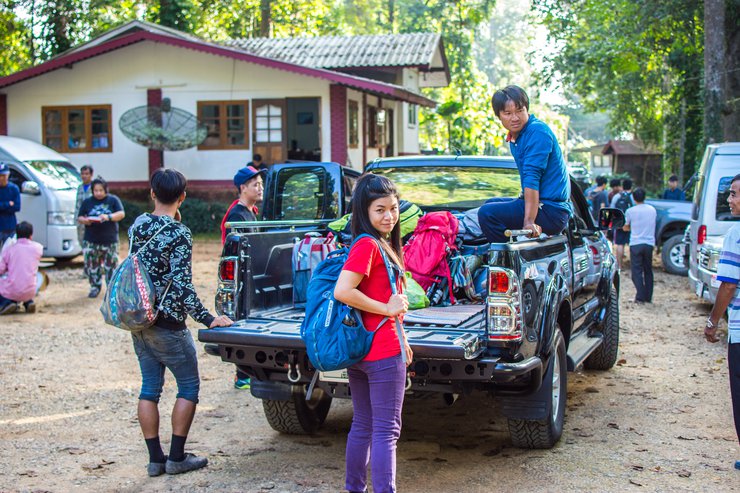
We left our black Vigo and jumped into a new one to continue our journey. I'm not sure if they allow personal vehicles, especially 4x4s.
Those who have been here before will surely recognize this tree.

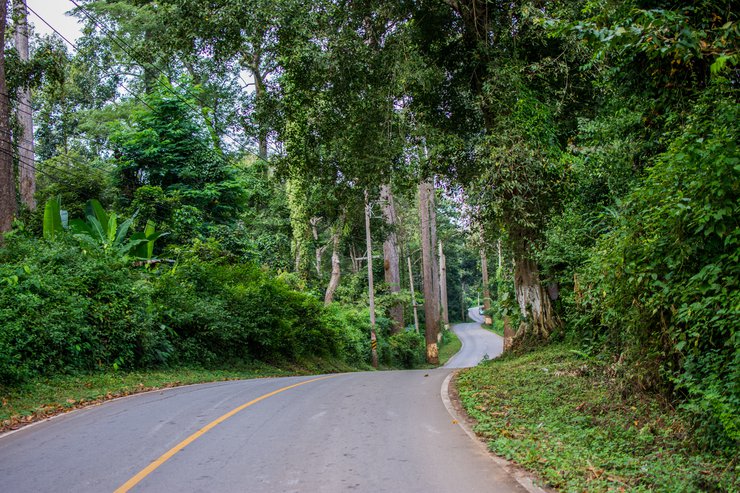
To reach the starting point, we need to take a car ride for over an hour. The route involves moderate off-road driving, similar to the path leading to San Pa Kia.
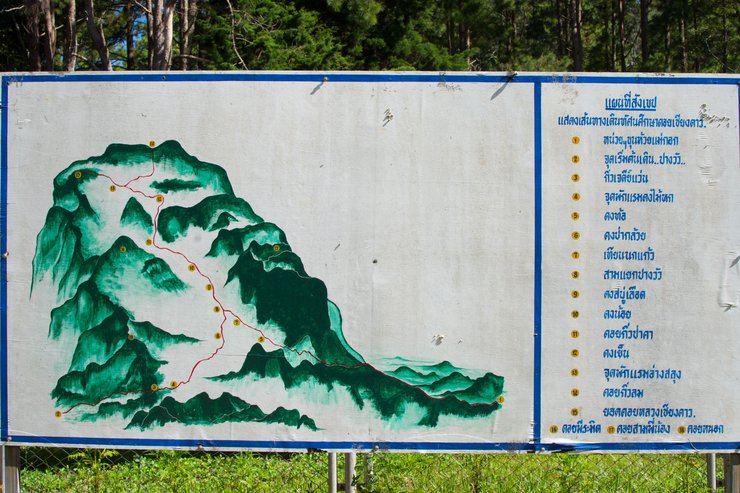
According to this map, it seems that the ascent will be via Den Hin Chat and the descent via Pang Wua. Our current location is marked as point 1. As you can see from the image, route 1 is longer than route 2 from the starting point, but the incline appears to be significantly less steep. The descent via Pang Wua is said to be very steep, so if we were to ascend this way, it would definitely be a challenge.

This is the first trip where I carried my own belongings, while the porters carried the communal supplies and tents. This trip is a trial run with a light load of 11 kg. Let's see how it goes.

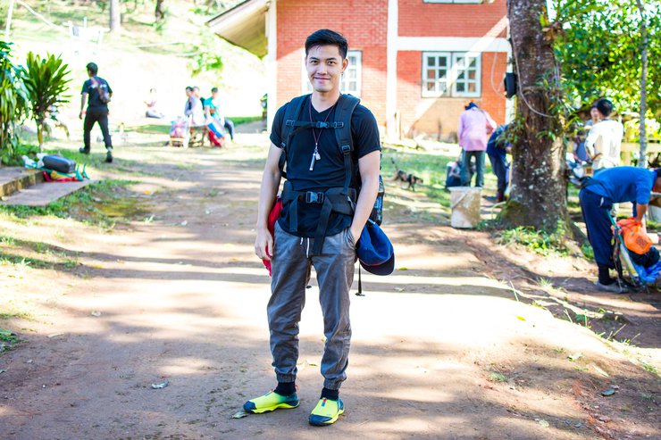
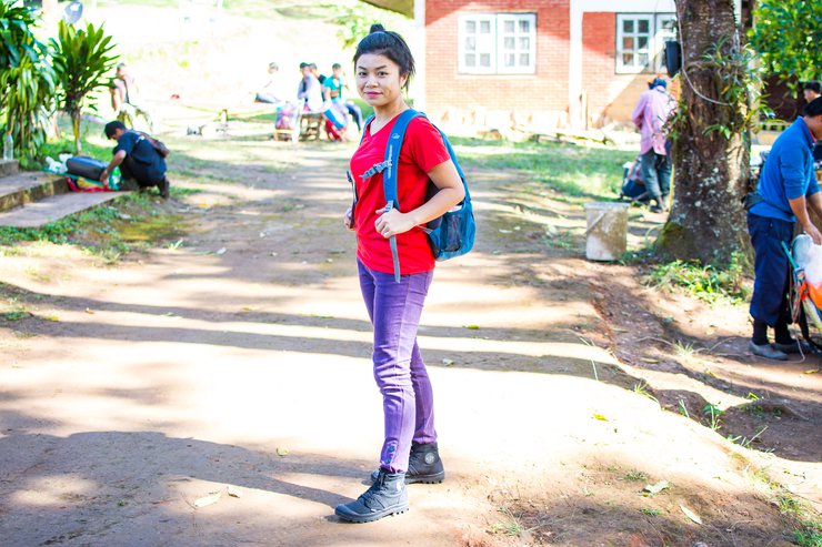
One of the brothers who came with them said he couldn't walk anymore and asked to wait downstairs, leaving five members remaining.

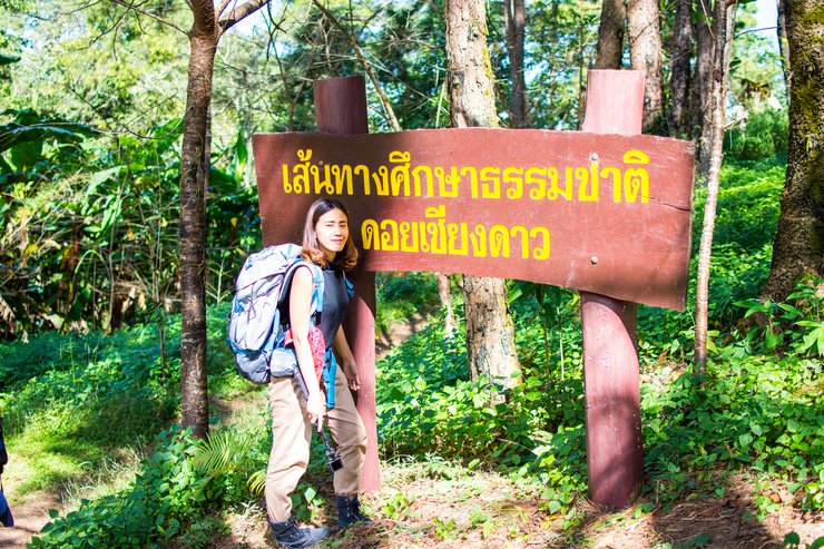
In the initial stages, there were still some signals from True and AIS, but there hasn't been any signal from dtac for a long time.

The initial section of the trail leading to Pang Wua Junction is relatively easy, with a gradual ascent and no steep inclines. The path is mostly flat, allowing for a steady pace with occasional moments of breathlessness on certain slopes.

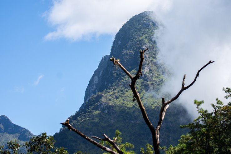
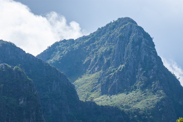
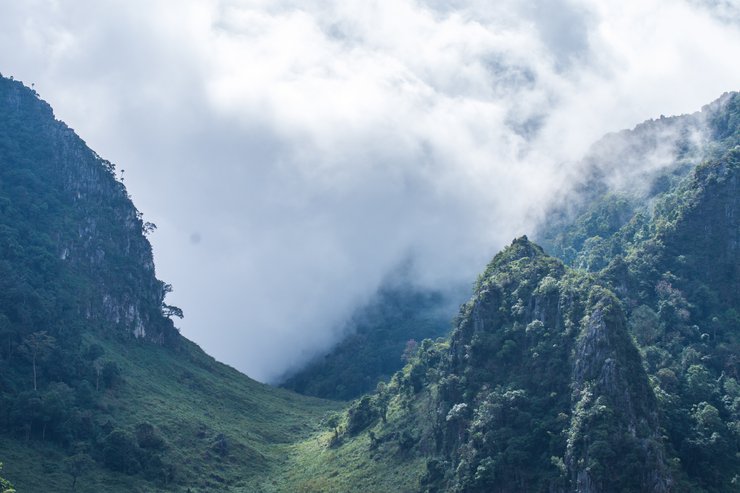
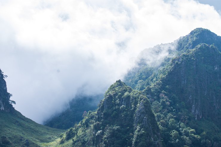
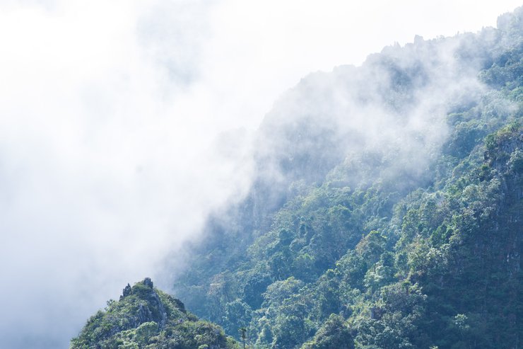
A path amidst mountains on both sides, unsure which peak to reach, wandering around the mountains.
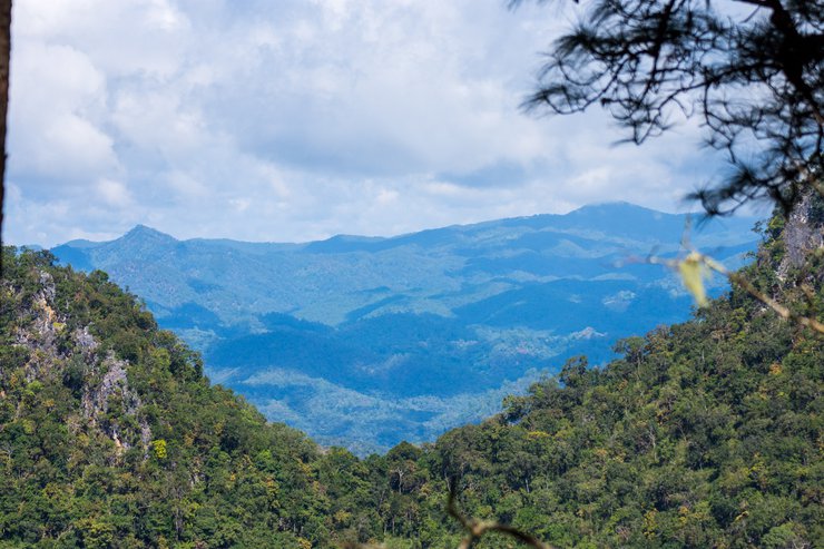
Or is it this peak?


Note: The original text is empty, so the translation is also empty.

The peak is very high, but as we walked, it seemed that this was not the summit. This peak might be the one we saw from the highest point.
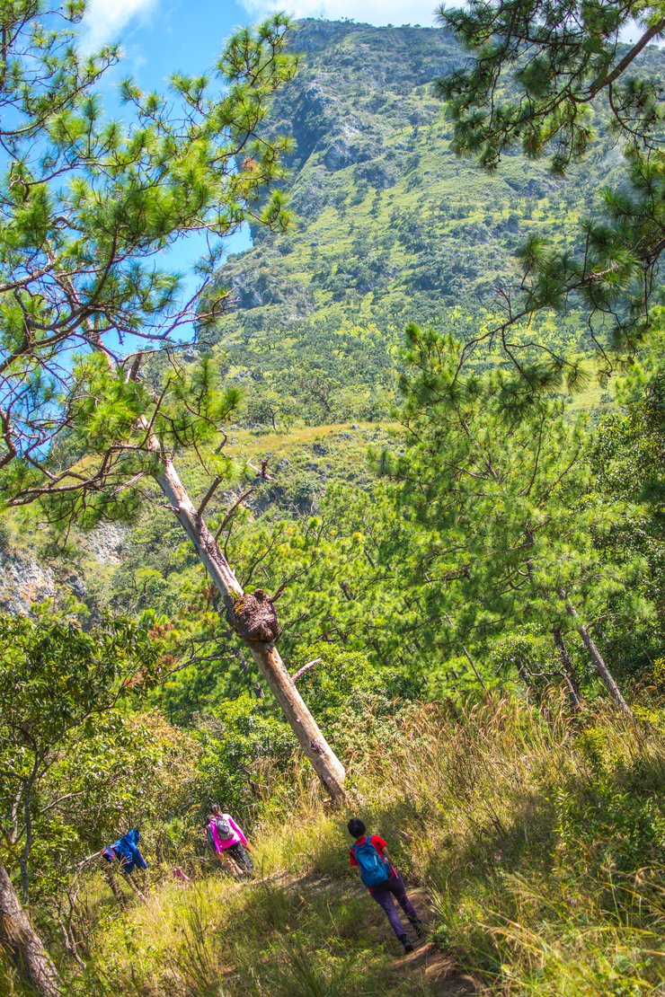
Golden sunflowers bloom on the mountaintop.
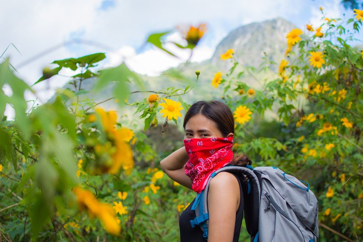
I walked and filmed while taking breaks to avoid fatigue. Carrying my own equipment didn't significantly slow me down, but it was much more tiring than usual. I was sweating profusely.

After passing the Pang Wua intersection, the road ahead becomes significantly steeper. I stopped for lunch near the intersection. I'm not sure if it was because of the steep road, the full stomach from lunch, or the weight of my backpack, but I felt incredibly tired during this stretch of the journey. 555
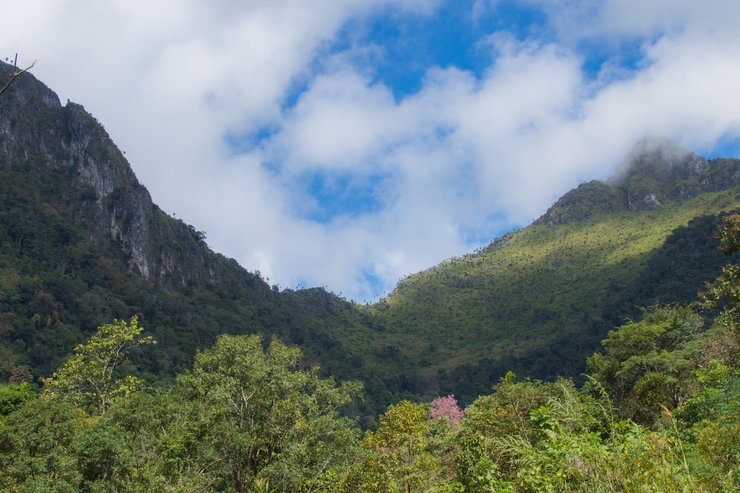
Due to fatigue, I was unable to take many photos. The trail was not technically challenging, but it was a continuous steep ascent.
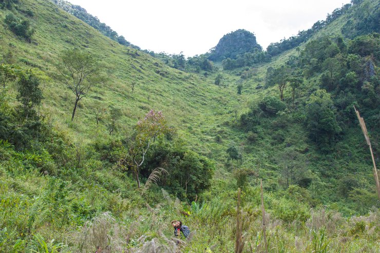
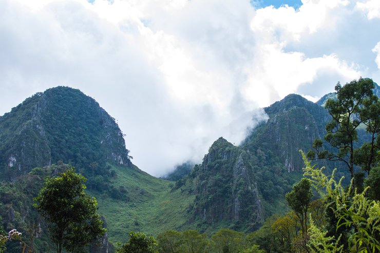
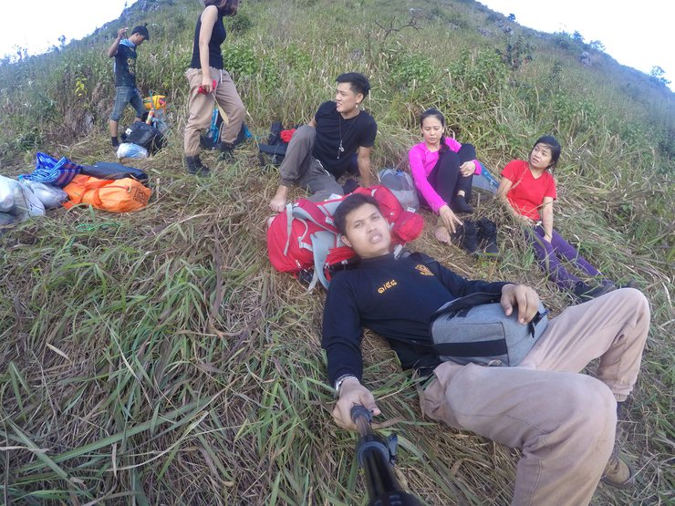
The leaked photos were taken by my sister's camera. Look at how tired she is, her mouth is even drooping. It usually droops though, haha.
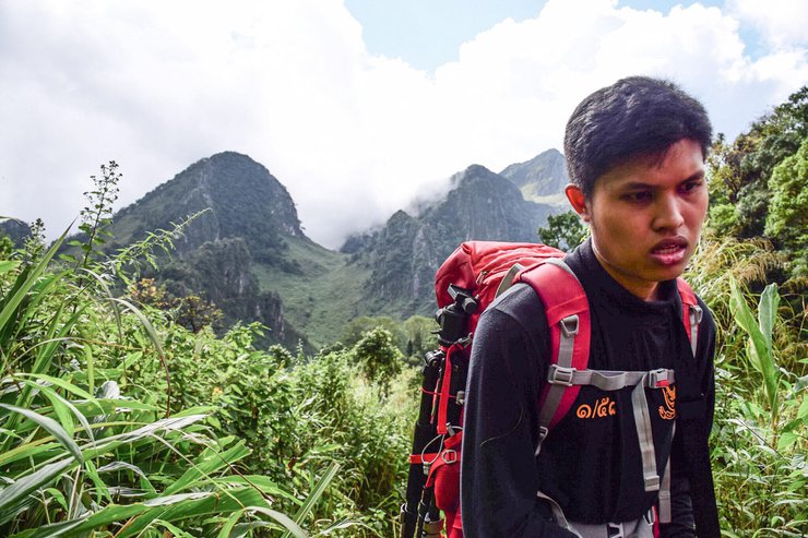
After a long uphill climb, my legs were starting to tire. I shifted into the lowest gear and kept pedaling, taking small, steady steps. I wasn't going fast, but I kept moving forward. I took breaks at the top of each hill.
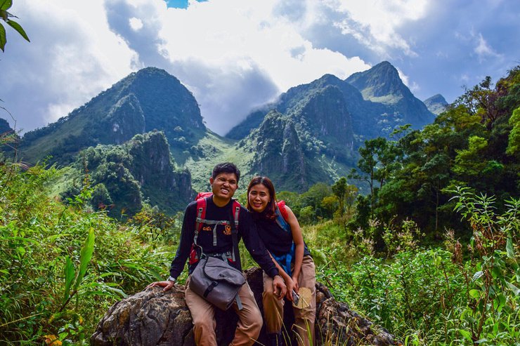
The provided text is an empty paragraph containing only a line break. As there is no actual content to translate, I cannot provide a translation in this instance.
Please provide the actual text you wish to be translated, and I will be happy to assist you.
Each hill was a formidable challenge to overcome.

Or maybe because we didn't take a nap at all, so we could sleep for a few hours, but this time we drove all night and it was just morning, so we didn't take a nap at all. Finding excuses to help ourselves is the best. 555
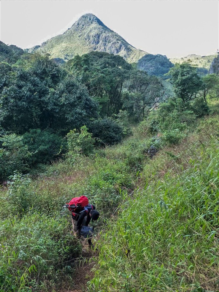

After the Makki Hill, there is a dense forest for a while. They say we are almost there. Well, let's take a break first.
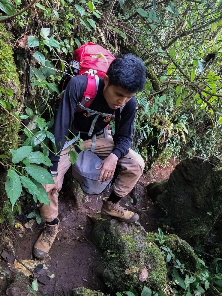
We were all out of breath after carrying the heavy load, both me and Fang. The other male friend, however, was much stronger and carried less weight, so he wasn't as tired and could walk continuously.
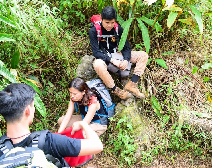
We finally arrived, taking a total of 4.30 hours. It was a good time, as usual, but what was unusual was that my body was very tired. I've never felt so tired after walking. 555 Khao Luang Sukhothai is said to be tiring, but this place is even more tiring. But as I said before, 555 other people may not be as tired as me.

After choosing a campsite, we walked to the highest peak to watch the sunset. The campsite is located in a basin-like area. On the day we visited, there were a moderate number of people, but the campsites were not crowded and were divided into zones, each with tall grass providing privacy. Our group of three tents was the only one in our zone.
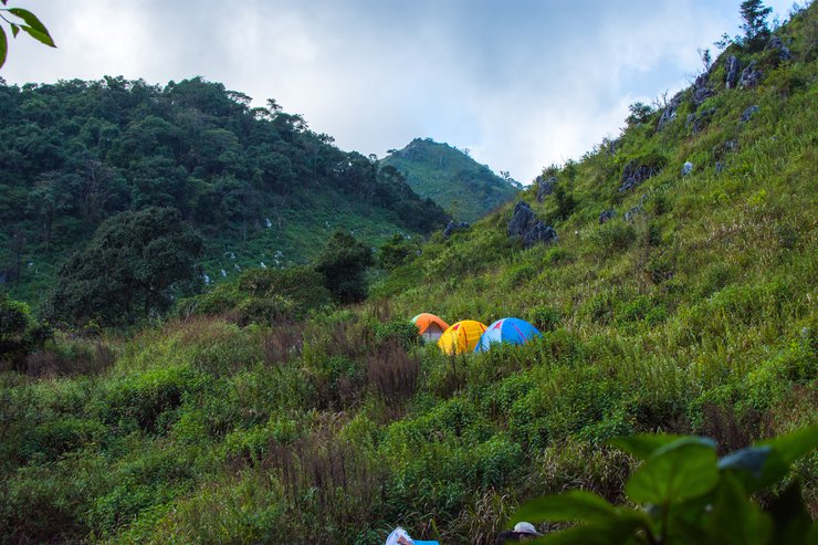
A half-hour walk is required to reach the summit.

The path is a little steep.
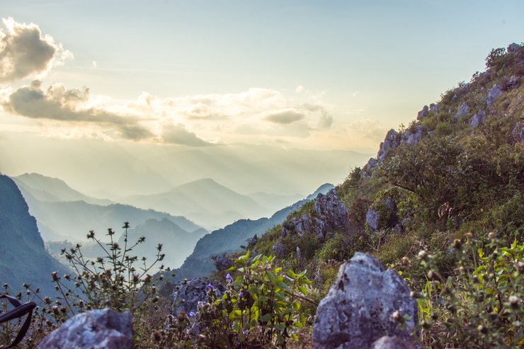
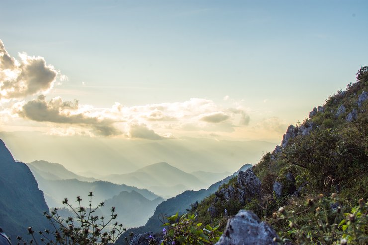
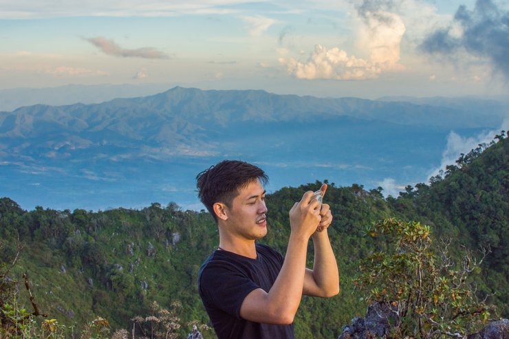

And then we reached the peak. There weren't many people at the campsite, but there were a lot of people up here.
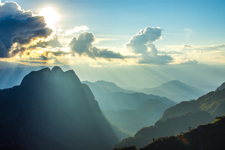
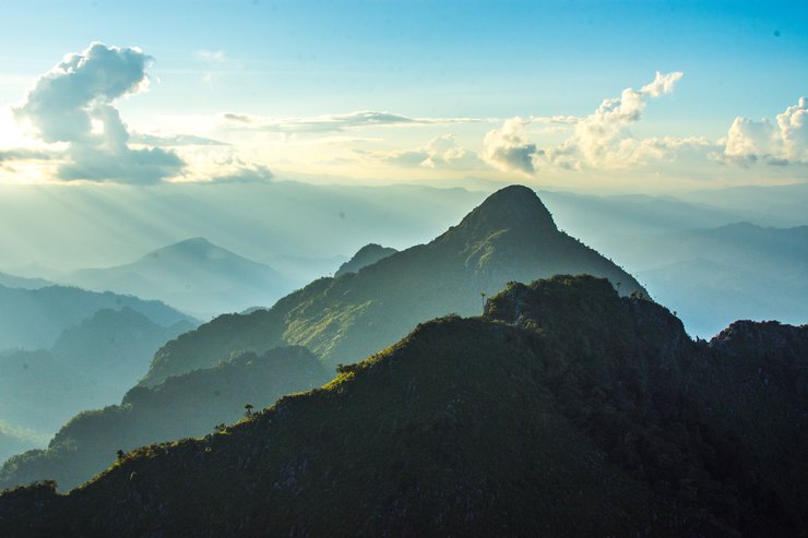
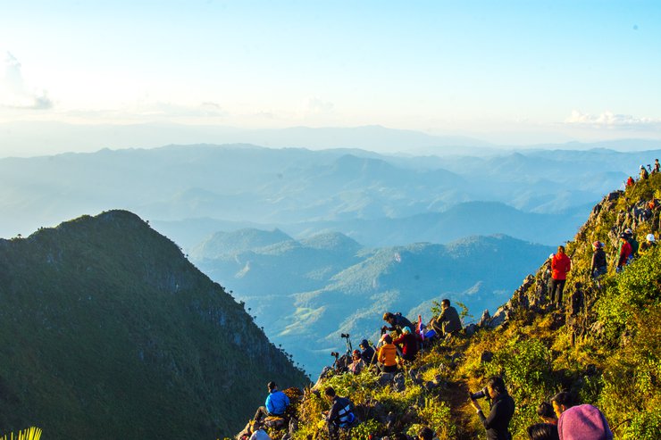
The real scene is more beautiful than in the picture. The beams of light shine in layers, and the mountains are layered. Let's take a look at the pictures.
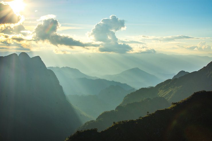

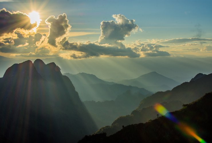
The provided text is empty. Please provide the text you want me to translate.
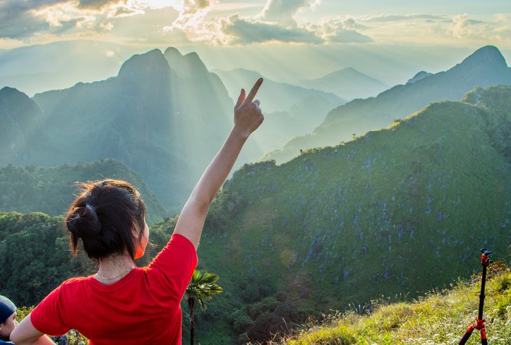
This is the third highest mountain in Thailand, after Inthanon and Doi Pha Hom Pok.
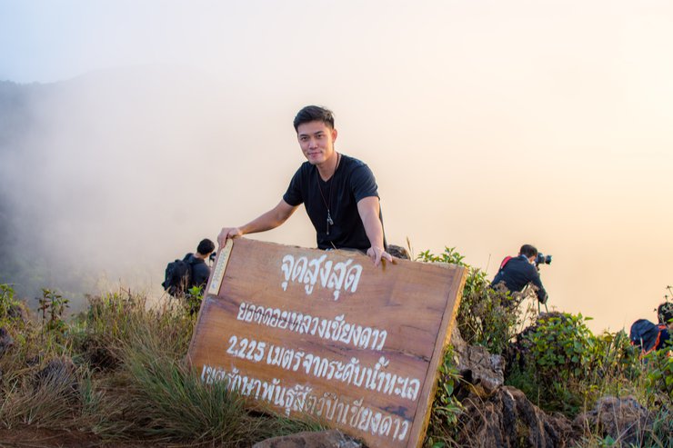
The provided text is empty. Please provide the text you would like me to translate.


The sun will set in a little while, around 5 pm.
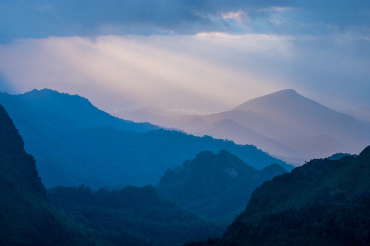

However, I didn't stay until it got dark because I started to feel hungry, so I began to walk down. The place where I was not the summit was sparsely populated and easy to see.

This angle is just for us.
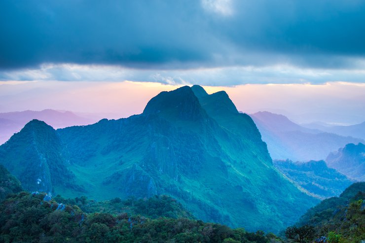
The following is a translation of the Thai text provided:
I met someone walking by and asked them to take a picture for me (haha). My other friends are still taking pictures up there.
Return to the tent and set up the flysheet, as the dew is very heavy.
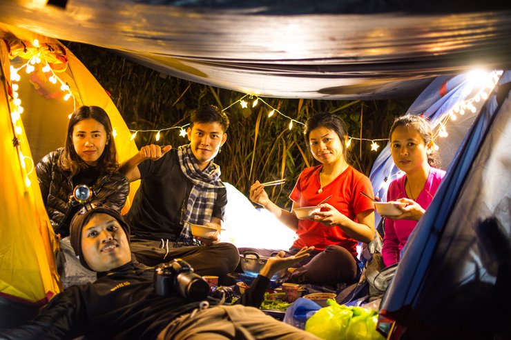
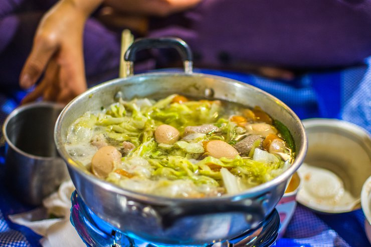
Tonight's dinner was a delicious hot pork shabu-shabu. The weather today was slightly chilly, with a cool breeze. A long-sleeved shirt was sufficient to keep warm.
To go out and collect stars

Let's go stargazing! There are so many stars, and they're incredibly clear.
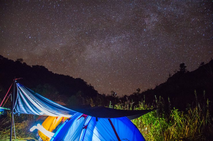

However, after going outside the tent, my hands started to feel stiff, so I only took a few photos. Then, I sat down and went to sleep at 9 pm. I ended the first day feeling exhausted.

The next morning, we had to wake up at 4:00 AM to catch the sunrise at Yod Kiew Lom Tai. The hike took almost an hour, and I was still feeling the effects of the previous day's climb. However, we arrived before sunrise and were able to capture some beautiful photos of the stars and the sky. The light started to come in, and it was a truly breathtaking sight.

The sea of fog that covered Chiang Dao City, the air was like yesterday morning when I drove to Chiang Dao, the fog was very thick below.

Let's take a look at the photos. The photos alternate between being taken with a 35mm lens and a 70-300mm lens.


The provided text is an empty paragraph containing only a line break. As there is no actual content to translate, I cannot provide a translation in this instance.
Please provide the actual text you wish to be translated, and I will be happy to assist you.


The sea of mist did not completely cover the area, but the lights below were still beautiful in a different way.

This morning, another person sacrificed themselves to sleep in the tent. 55

The light is starting to come in, you can start taking pictures of people now.


The sun has risen.

This zooms to the back.

Turning back, she was about to start walking down.

The sentence is already in English and does not require translation.

The picture below shows where we set up our tents.

They have come a long way.

Zoom in, the three tents on the right are ours.

Push it to the limit of 300 and capture a little more. The sharpness is usable.

The morning mist concludes the scene.

Before heading down to the tent, I fueled up with a delicious breakfast of instant noodles and leftover shabu-shabu ingredients from last night.

The following is a translation of the Thai sentence "ซดน้ำร้อนๆอากาศหนาวมื้อเช้าหลักของผมเวลาไปดอย" into English:
"Sipping hot water in the cold morning air is my main breakfast when I go to the mountains."

I would like to join the group with the young porter.

Descending the trail, we scanned for sambar deer, but none appeared to grace us with their presence.


The provided text is an empty paragraph containing only a line break. As there is no actual content to translate, I cannot provide a translation in this instance.
Please provide a sentence or phrase that requires translation, and I will be happy to assist you.


The initial descent to Pang Wa intersection was a breeze, allowing for a comfortable run that took only an hour.

The descent from Pang Wa was initially very steep and challenging. My friend and I ran non-stop for half an hour, thinking we were fast. However, when we started to get tired and took two breaks, we were amazed by the porters who effortlessly passed us with their heavy loads on their backs. They were incredibly fast! The final 2 kilometers were particularly difficult due to the slippery clay soil, forcing us to walk slowly and carefully. Overall, the descent was not enjoyable due to the slippery conditions, and I even took a tumble. The porters' studded shoes seemed to be the ideal footwear for this terrain.

It took me 2 hours and 15 minutes to descend. My friend arrived about 10 minutes earlier, while the girls were left behind halfway down and arrived 2 hours and 30 minutes later. We were among the first groups to descend the mountain because we were aiming to reach the Pa Hom Pok campsite next.

After arriving at the transfer point, I took a shower and brushed my teeth, making my body fragrant and clean again.
Just past 11:00, I stopped for a delicious meal at the Khao Soi restaurant just before the intersection leading to the wildlife sanctuary.

The provided text is an empty paragraph containing only a line break. As there is no actual content to translate, I cannot provide a translation in this instance.
Please provide a sentence or phrase that requires translation, and I will be happy to assist you.
Continuing on to Doi Pha Hom Pok, also known as Fa Hom Pok, I noticed various signs still indicating "Pha Hom Pok." If you follow the map, it will lead you to the correct campsite. However, if you follow the signs on the road, you will end up at the hot springs, which is not the way to the summit. It seems several people have made the same mistake, but fortunately, it's not a long detour, only about 8 kilometers. If you have time, you can visit the hot springs, but since it was already late afternoon, I decided to continue on.

You can pay here, and the staff will give you the correct map. It seems that everyone has been charged incorrectly. Haha.

Following the correct path, there are now two routes to the top of Don Pha Hom Pok: the main route, which is 18 kilometers long, and the Ban Lek in the Big Forest project route, which is approximately 30 kilometers longer. We will descend via the latter route and provide a detailed account later.

The main route to the summit is 18 kilometers long and accessible via a toll gate. While the first 8 kilometers are paved, albeit narrow, the remaining sections alternate between dirt and paved roads. During our dry-weather visit, the road was manageable for two-wheel-drive vehicles with high ground clearance. However, there are 4-5 steep inclines that are easily tackled by pickup trucks.


The most slippery part is the pigskin road here, and the four-wheel drive spins and slides quite a bit. Imagine if it rained and the road was like this all the way, it would be a mess for sure.


The following is a translation of the provided text from Thai to English:
"As you approach the park, you will come to a three-way intersection with a concrete road. If you are coming from the small housing project, you will meet at this intersection. The road will then become a normal road."

There is a viewpoint where you can rest before continuing.

It took about an hour to travel 18 kilometers, arriving at almost 4 pm. There were stops for taking pictures.

The highest campsite in Thailand has been reached.


The campground where we set up our tent is relatively empty today. We seem to be the only ones staying here tonight.


Choose a single-story location with a bathroom to avoid the hassle of going up and down stairs.

The provided text is an empty paragraph containing only a line break. As there is no actual content to translate, I cannot provide a translation in this instance.
Please provide a sentence or phrase for me to translate.

The sun has set for another day.

There is no text to translate.

The night is still young, so let's continue to soak up the atmosphere with a delicious hot pot. The weather here is perfect, with a cool and refreshing breeze. Don't forget to wear long pants and long sleeves to protect yourself from mosquitoes, as they can be quite aggressive here. Even with protection, I still got bitten 4-5 times.

When everything is pitch black, the twinkling stars illuminate the entire sky.

The stars here are just as beautiful as those on Doi Luang.

The star shines brightly.


A stunning conclusion with a touch of horror.
Not a hallucination of our own image, haha. After falling asleep for a while, we heard the sound of a bell, jingling, jingling, jingling in the distance. We thought it was the bell of an official, knocking at a certain time or something. After a while, the sound of the bell got louder and louder, and it felt like it was getting closer. As it passed, we wondered if it could be an animal, but what kind of animal? After a while, the sound came back, and it seemed like it wasn't just one. We heard the sound of digging. Oh no, it's definitely an animal, but what kind? Elephants, horses, cows, buffaloes? At that moment, everything was so quiet that we could almost hear our own heartbeat. The sound of the animal digging for food, the jingling of the bell, and its heavy breathing made us feel even more scared. We wanted to go out and chase it away, but we were afraid that it would run into us. We weren't sure what kind of animal it was. After a while, the sound went away, and we felt relieved. We were about to fall asleep again when, hey, it came back! It came back to dig again, probably calling its friends. This time, it stayed for a while and then left. The sound of the bell gradually faded away, so we went out to check with a flashlight, but we didn't know. A spooky story that many people might not find spooky, but we're just weak-minded, haha.

I'd be glad to translate the provided text from Thai to English, ensuring a high-quality translation that captures the original meaning and tone. However, I'll need some additional information to deliver the best possible result:
1. Context: Could you please provide some context about the situation or the purpose of the text? This will help me understand the nuances and choose the most appropriate vocabulary and style.
2. Target Audience: Who is the intended audience for the translation? Knowing the audience will help me tailor the language and register accordingly.
3. Specific Requirements: Are there any specific requirements or preferences you have for the translation, such as maintaining a certain level of formality or using specific terminology?
Once I have this information, I can proceed with the translation, keeping in mind the following principles:
- Accuracy: I will strive to accurately convey the meaning of the original text, paying close attention to grammar, vocabulary, and cultural references.
- Fluency: The translation will be natural and easy to read, as if it were written by a native English speaker.
- Clarity: I will use clear and concise language, avoiding ambiguity and unnecessary complexity.
- Style: I will adapt the style of the translation to match the tone and register of the original text, while also considering the target audience and any specific requirements.
I am confident that I can deliver a high-quality translation that meets your expectations. Please provide the additional information requested, and I will get started right away.

This morning, we had to wake up at 3:30 am, which was even earlier than yesterday. After setting up our tents, some local children approached us and offered to guide us for 300 baht per group of 8-10 people. Most of them were young children from the village who were trying to earn some money. We agreed, and they woke us up at 3:30 am. We stalled for a bit, and it wasn't until after 4:00 am that we finally started walking.
The first three kilometers of this morning's trail were tough. I swear, I'm going to be walking every day on this trip! The hardest part was the first kilometer, which was a steep climb like yesterday's Pang Wua. I was out of breath after just a short walk and had to stop to take off my jacket. The next two kilometers weren't as steep, with some ups and downs and flat sections. It took us an hour and a half to reach the top, arriving just as the sun began to rise at 6:00 AM. The fog was thick and white, but we sat and waited, hoping for a glimpse of the sunrise.
The sun was struggling to break through the fog, casting a scorching light. Soon, the sky cleared for 10 seconds, before the wind swept in, bringing the fog back to cover everything once again. This cycle continued for some time.

Finally, someone stoked the fire, causing it to roar and dispel the fog that had enveloped us.

Offering breathtaking panoramic views and a 360-degree vista of the mist-shrouded sea.

The provided text is an empty paragraph containing only a line break. As there is no actual content to translate, I cannot provide a translation.
Please provide a sentence or phrase for me to translate.
Let's take a look.


Many people arrived before us. As soon as the sky cleared, they started to descend.


However, the fog gradually thickened, bit by bit.


Zoom in.


Fluffy fog

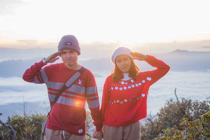
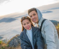
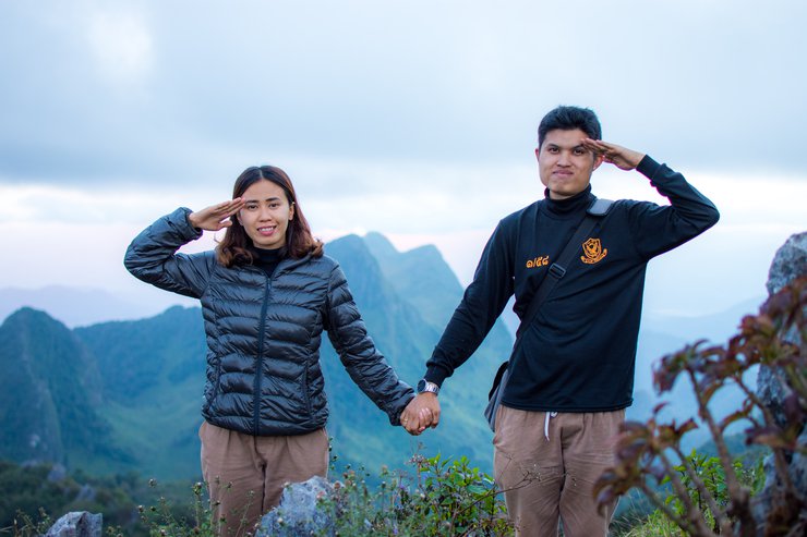
Checked in with a couple pose.

The mist rises high, making for a beautiful morning.

Take a picture with the sign.

The fog is thick now, and most people have already gone down.


Captured until satisfied, it's time to post.

The fog remains dense.

Please take some photos on the way down when it's bright.

The natural environment is exceptionally rich and diverse.


"Down to eat instant noodles again, just like before. Filling my stomach before the group photo. Thank you, Big Vigo 4x4, for taking us up and getting us home safely."

May I stop to take some photos around here?


The translation of "สวนสนเยอะมาก" is "There are many pine forests."


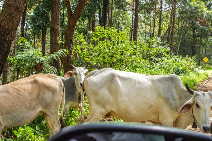
These cows must have been hallucinating last night.

Beautiful path

Cool groups

After passing the viewpoint on the right that we stopped at yesterday on the way up, which is now on the left, there will be a three-way intersection. Turn left to go to the "Small House in the Big Forest" project. Turn left and we will descend this way.

The road is well-paved throughout, but it is narrow, steep, and winding.

Along the way, there is a waterfall flowing onto the road at a curve like this once. I don't know if the water will be high during the rainy season. If it's a pickup truck, it's definitely possible to come.


Although this paved road is shorter, it is just as thrilling as the dirt road due to its steep inclines, winding curves, and large rocks scattered along the roadside. If it's not raining, the dirt road is a better option as it is shorter and equally exciting.
This section will pass through the Doi Fah Hom Pok Royal Project Small Forest House.
Background:
Her Majesty Queen Sirikit graciously instructed Mr. Suhas Bunyavivatana, Assistant Secretary to the Royal Palace, Special Activities Division, to consider a location in Chiang Mai Province for the establishment of a project similar to the "Small Houses in the Big Forest" project in Mae Surin District, Chiang Rai Province. Mr. Suhas Bunyavivatana then requested the Director of the Protected Area Management Office 16 (formerly Chiang Mai Forest District) to collaborate with relevant agencies in identifying a suitable location. The working group selected Doi Fah Hom Pok (Doi Pha Hom Pok) in Mae Sa Subdistrict, Mae Ai District, Chiang Mai Province as the project site. On Saturday, January 13, 1996, Her Majesty Queen Sirikit visited the site for the first time and graciously instructed the establishment of the "Small Houses in the Big Forest" project at Doi Fah Hom Pok, following her royal initiative.

The translation of "วิวสวย" to English is "beautiful view".

The atmosphere is great. You can pitch a tent for 30 baht per person. Anyone interested can come and try it out. It's not crowded.


Reaching the small housing project is not difficult, even for those with limited mobility. The main road, though winding, is only 13 kilometers long and accessible to all types of vehicles.

This fork allows you to turn left towards Mae Ai and Mae Salong, while turning right takes you back to Chiang Mai.


On the way back, I stopped by Him Nam Coffee, a coffee shop with a great atmosphere.

Located on the roadside on the way back to Chiang Mai, right at the checkpoint.

The provided text is an empty paragraph containing only a line break. As there is no actual content to translate, I cannot provide a translation. Please provide a text with actual content for me to translate.


It was past 5 pm when we arrived in Lampang. We stopped to eat and send off my sister and her friend who were returning to Khon Kaen. We had to change our plans. Initially, we were supposed to reach Bangkok and catch the midnight bus. However, it seemed unlikely that we would make it on time. So, we decided to take a direct bus from Lampang to Khon Kaen. The rest of us who were going to Bangkok arrived home safely after 2 am. This trip was the most tiring one ever.

The user wants a translation from Thai to English.
Here is the translation:
- Original: สรุปค่าใช้จ่ายคร่าวๆ
- English: Approximate cost summary
The cost of fuel is approximately 5500.
Porter fee 2000
The cost of a pickup truck in Chiang Dao is 1200.
The entrance fee for both parks, including camping and vehicle fees, is approximately 150-200 baht per person.
The remaining expenses include dinner at a shabu-shabu restaurant, breakfast with grilled pork, two days of instant noodles, and other meals from street vendors.
The total cost is approximately 2500-3000 baht per person.
The original text is in Thai and describes a memorable trip to Chiang Mai, Thailand. The author expresses their satisfaction with the experience and mentions visiting the city three times in a year, experiencing different seasons each time. They also mention a desire to visit a specific location called "San Pa Kia" and allude to future travel plans with their partner.
Here's the translated text:
Another amazing trip comes to an end. Chiang Mai never disappoints! This year, I managed to visit three times, experiencing all three seasons. The only place left to explore is San Pa Kia, which I hope to conquer this year. Until next time, travel buddies! Our next adventure will involve a motorbike, but the destination remains a secret for now.

เหลี่ยมพาเที่ยว
Friday, November 8, 2024 4:30 PM


