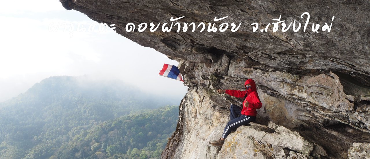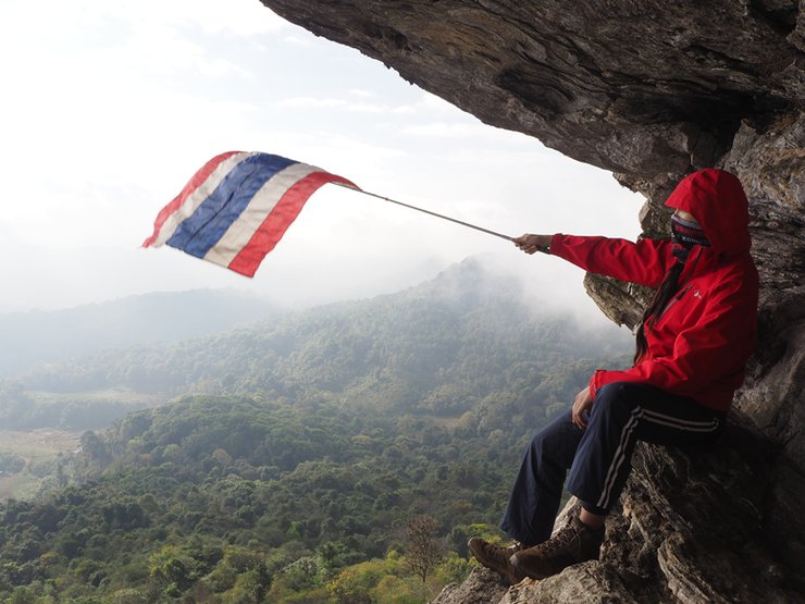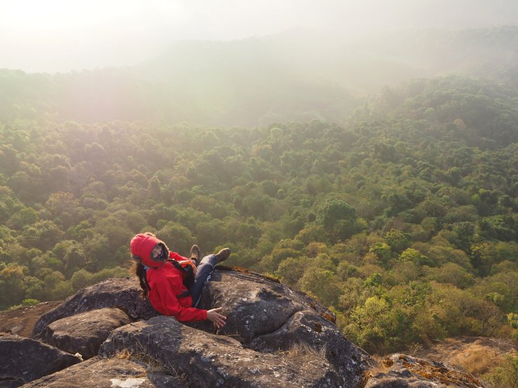


Pha Khun Taek, Doi Pha Khao Noi is located in Ban Khun Taek, Chom Thong District, Chiang Mai Province. The coordinates are 18.392841, 98.490818. Doi Pha Khao Noi is not well-known among tourists, so there are not many tourists visiting this mountain. Only groups of hikers, cyclists, and off-road motorcyclists would know the way to Doi Pha Khao Noi.
Things to Know
- Doi Pha Khao Noi can be reached by foot, bicycle, or motorbike to the summit.
- There is a shop selling food, fuel, and fresh produce called "Pee Tai's Shop". The shop is located in front of the school. You can ask Pee Tai for directions to Doi Pha Khao Noi.
- There are three ways to reach the top of the mountain: a new and an old motorbike trail, and a hiking trail.
- There are camping spots on the mountain.
- Bring plenty of water, food, and snacks.
- There is a phone signal.
- The ascent to the summit is approximately 4-5 kilometers.
Here is the translation of the text:
- No guide, no cost (If you get lost, you can hire a villager to guide you. I saw a foreigner walking around and hired a guide to take him there.)
- No street vendors
Traveling to Doi Phakhao Noi
From Chiang Mai city, take Highway 108 towards Chom Thong district. Pass Wat Phra That Si Chom Thong and look for the intersection with a traffic light in front of Si Chom Thong School. Turn right and follow the road until you reach Wat Nirotharam and Mae Tia Waterfall. Turn right again towards Mae Tia School and follow the signs for Ob Luang National Park. You will pass the Queen Sirikit Demonstration Farm, which indicates you are on the right track. At the three-way junction, turn left and follow the signs for the "Jom Thong Highland Conservation Group." You can park your car at the school and continue on foot, bicycle, or motorbike for another 5 kilometers.

This trip covered many places, but I will review them in separate parts.


From the intersection of Highway 108 (Chiang Mai-Hot), at the traffic light, look for the sign for Chom Thong Subdistrict Municipality. The entrance will have a Khao Soi restaurant, follow the signs for Mae Tia Waterfall.


There will be several岔路口 along the way, but let's stick to the main road leading to Mae Tia Waterfall. There will be signs along the way, and if you're unsure, you can ask the locals for directions.


Inform the officer that you are going to Doi Phakhao Noi.


The road is very steep, so be careful of oncoming vehicles descending from the mountain, which are mostly agricultural produce transport vehicles.


We stopped at the unit to rest and discussed visiting Mae Tia Waterfall. The road was quiet, with no other tourists in sight. We informed the staff that we were going to the waterfall, as the path is dangerous and isolated. In the morning, the bridge's neck was damaged and had not yet been repaired.


Approximately 5 kilometers from the entrance, the road leads to the waterfall, but it is still a considerable distance on foot. However, Che took off his backpack and the uncle drove as far as possible, then they walked. The path was very rough.


Mae Tia Waterfall, the most stunning waterfall in Ob Luang National Park, cascades down a two-tiered cliff face, reaching a height of approximately 80 meters and a width of 40 meters. The waterfall comprises four distinct tiers, accessible via a 5-kilometer hiking trail ideal for nature enthusiasts. The waterfall is a year-round attraction, offering a refreshing escape amidst lush greenery. Notably, Mae Tia Waterfall serves as a vital water source for agricultural activities and domestic use in the nearby village of Sop Tia.


Continue driving straight ahead.


The trail passes through the Doi Song Mia Nature Study Path.


This is a model farm project under the patronage of Her Majesty the Queen and will pass through the lawn.
There are two roads leading to Doi Phakhao Noi: a new road and an old road. There is also a hiking trail. This time, we chose to ride a motorcycle on the new road because the locals told us it was in better condition.


Stop by the shop to ask for directions. The owner, P'Tai, is very friendly and helpful. You can also buy supplies here, as they have everything you need. (P'Tai's shop is located next to the…)
The following is a translation of the Thai sentence "งเรียนไปไม่ไกล สังเกตุจะมีปั้มน้ำมันหน้าร้าน)" into English:
"Not far from the school, you will see a gas station in front of the shop."


We arrived very late in the evening, so we bought a few supplies because we thought we wouldn't make it down from the mountain in time. The owner of the shop was worried that we wouldn't find our way, so he offered to drive us to the trailhead. He told us to keep driving for about 5 kilometers and we would reach the top of the mountain.


She thought to herself, "Seriously? We can't even get up the first hill. We'll have to ask P'Wut to drive."


The initial section of the trail is steep and traverses along the mountainside, serving as a path for local farmers to transport cabbages.


When you reach the fork in the road, turn right.


The path gradually narrowed and became increasingly steep. The steepest sections were too challenging to capture in photographs, as simply driving through them was difficult.


A steep descent, a misstep could lead to a fall. (This photo was taken on the return trip.)


The following is a translation of the provided text from Thai to English, adhering to the specified guidelines:
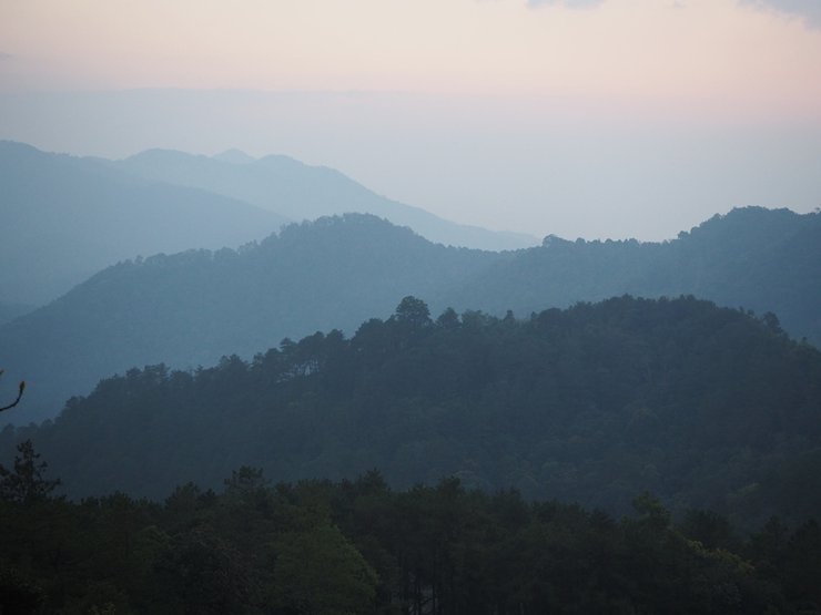
The journey was perfectly timed to catch the sunset. Along the way, there were several ridges offering scenic views to stop and admire. However, we couldn't linger for long as darkness was approaching, and we were unsure how steep the path ahead might become.


After parking on the ridge, we hiked approximately 100 meters to the campsite. Upon arrival, we gathered firewood, built a fire, and pitched our tents.


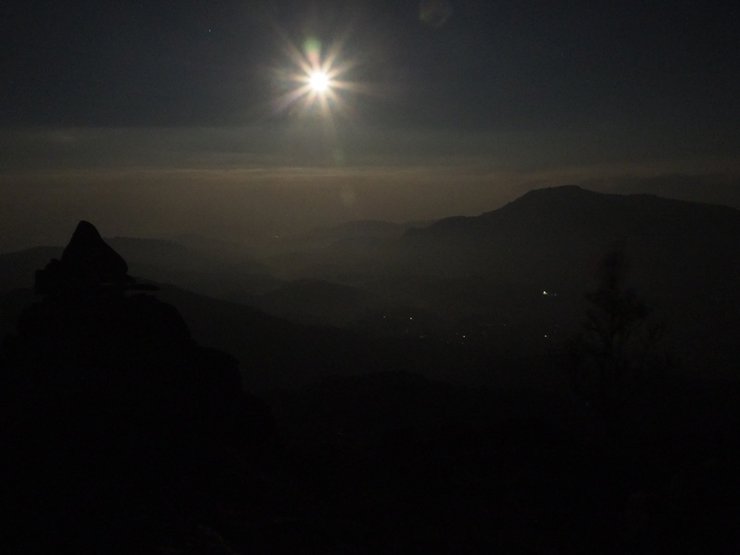
Cook dinner, then go out to take night views.
Tonight, use luminous tent pegs to mark both sides of the checkpoint.


After a short while of taking photos, it got cold, so it's better to return to the tent.


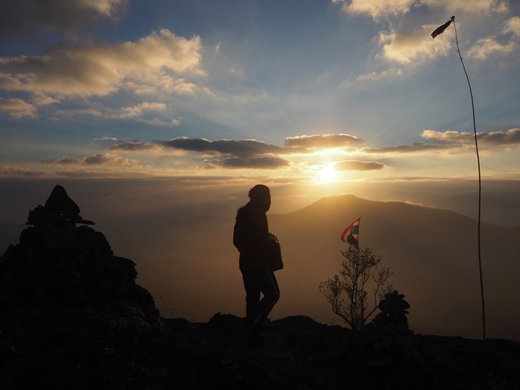
Morning view


Panoramic views, almost 360 degrees, are stunning.


On the left side of the viewpoint, there is a faint trail that slopes down along the cliff. Walk down and you will find this rock. When you walk down, walk to the right and you will find a view of the cliff face.


Please wait for the review of Doi Huaseu.
I'm Che
Monday, November 11, 2024 10:30 AM

