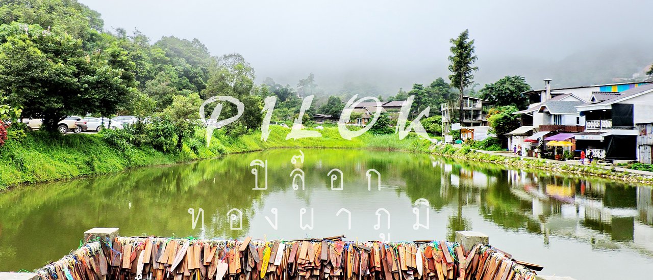

Cold but heartwarming....
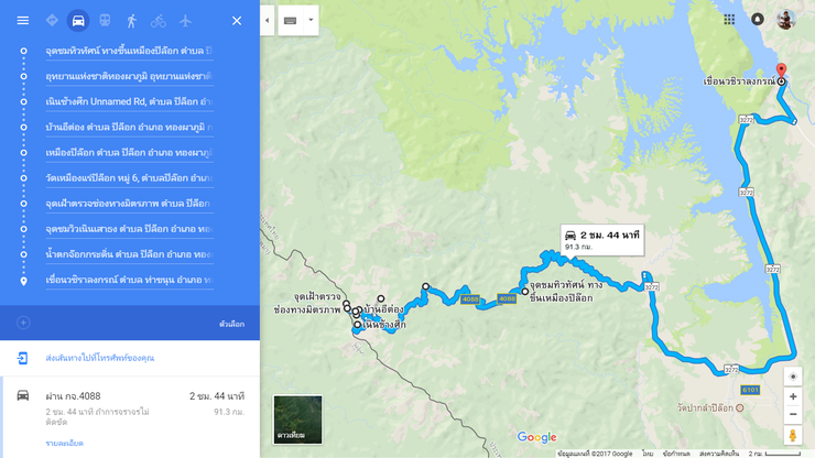
In Google Maps, it's only 300 kilometers. But it takes 6 hours to drive! The route is quite curvy and complicated as you have to go up and down the mountain all the time....

Destinations
- Point 1 - Viewpoint กม.12
- Point 2 - Thong Pha Phum National Park
- Point 3 - Colline Change Suek
- Point 4 - Etong Village
- Point 5 - Pilok Mine
- Point 6 - Pilok Mine Temple
- Point 7 - Thai-Myanmar Friendship Pass (Ripped Mountain Pass)
- Point 8 - Nuern Sao Thong
- Point 9 - Chokkradin Waterfall
- Point 10 - Vajiralongkorn Dam

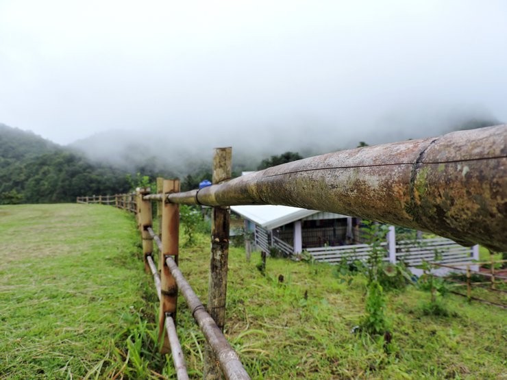
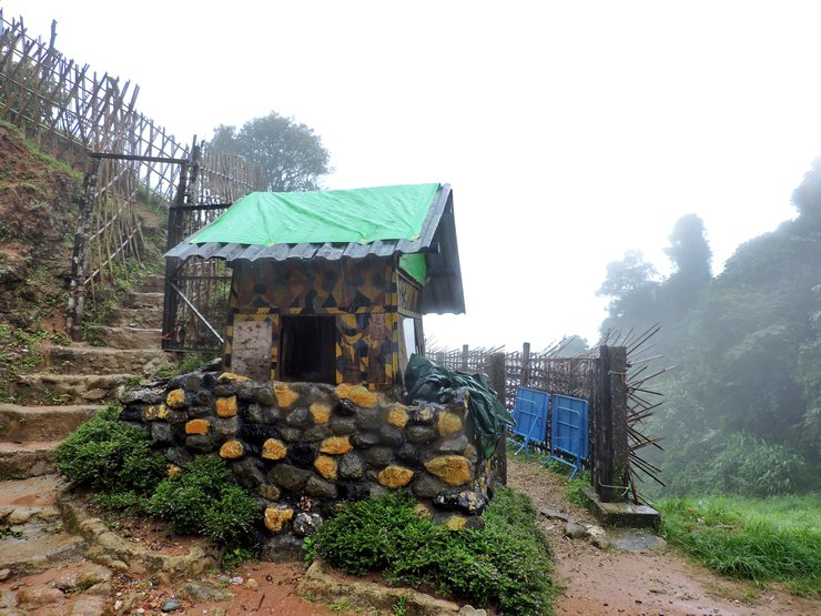
A narrow curve where cars pass

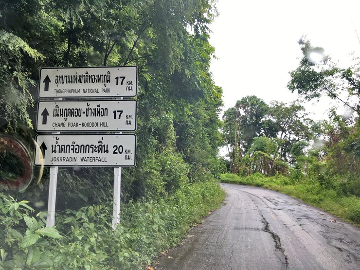
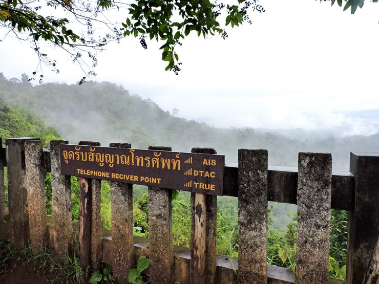
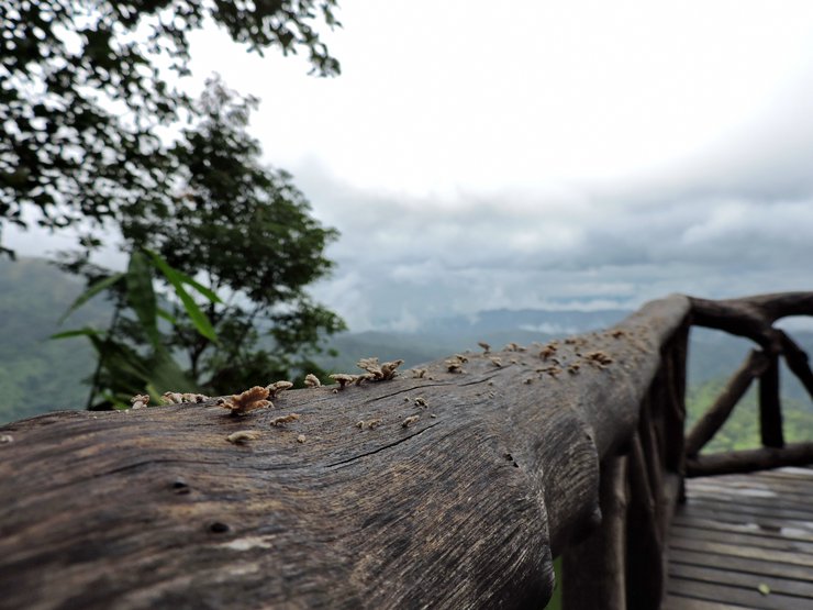
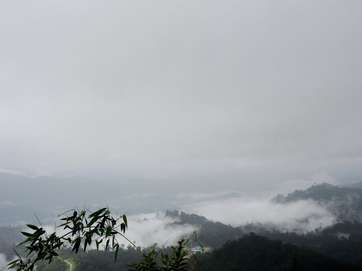
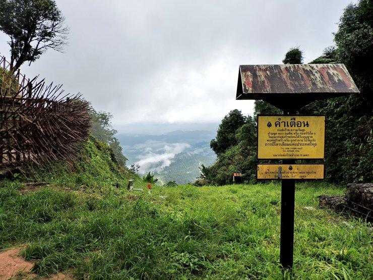
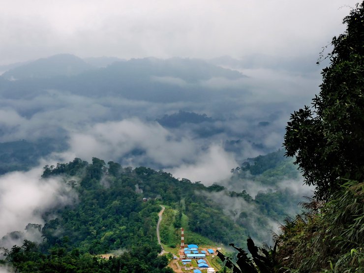
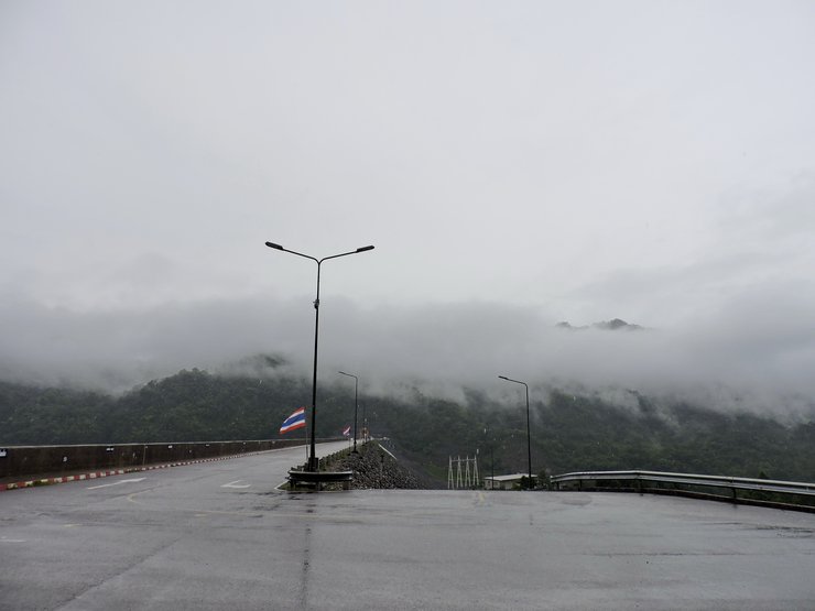
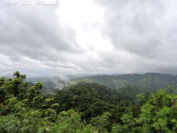
Point 1 - Viewpoint กม.12
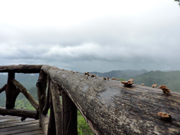
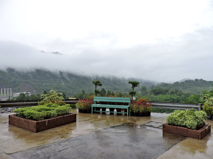
It is located on the left side of the road before you reach the Thong Pha Phum national park. You can park your car here and watch the fog.
Viewpoint กม.12
(Also known as the Pilok mine entry viewpoint)
The front


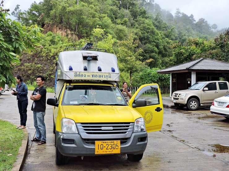
Minibus Etong-Thong Pha Phum
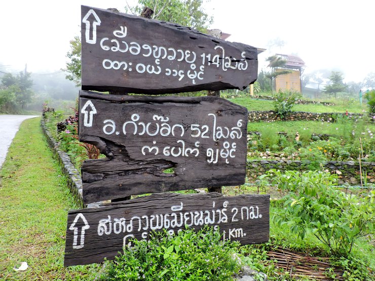
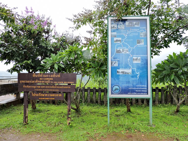
Attractions sign

The attractions indicated on the sign are as follows:
- Peteng waterfall
- Thai - MyanmarFriendship pass
- Nuern Sao Thong
- Etong market
- High mountain viewpoint
- Somsak mine (4 wheel-transportation is recommended)
- Jet Mit waterfall
- Chokkradin waterfall
- Thong Pha Phum national park

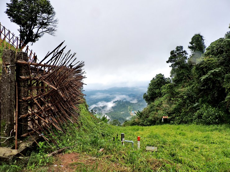
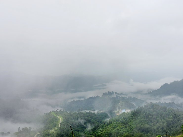
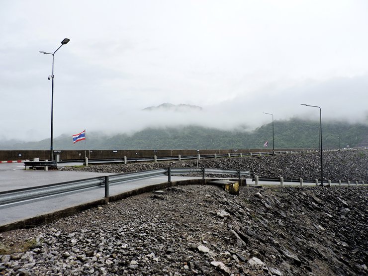
It takes around 9 kilometers of driving from the viewpoint กม.12 to reach the Thong Pha Phum national park
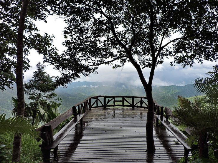
Point 2 - Thong Pha Phum National Park
It is located in the Huai Kayeng national conservation park and the Kao Chang Puek forest in Amphoe Thong Pha Phum and Amphoe Sangkhla Buri district.
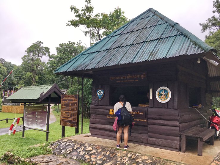

Admission fees
- Thais - Adults 40 baht/person, Children 20 baht/person
- Foreigners - 200 baht/person, Children 100 baht/person
- Motorcycles - 20 baht/each, Cars - 30 baht/car
- Camping fee (tents) - 30 baht/person/night
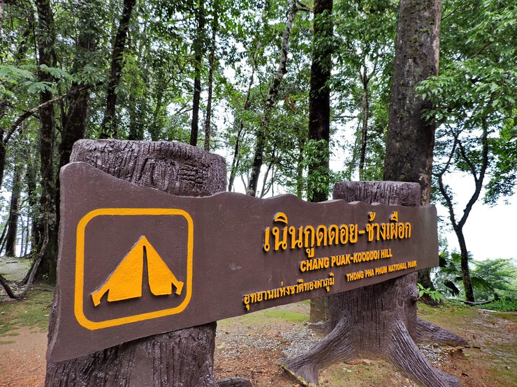
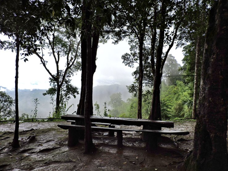
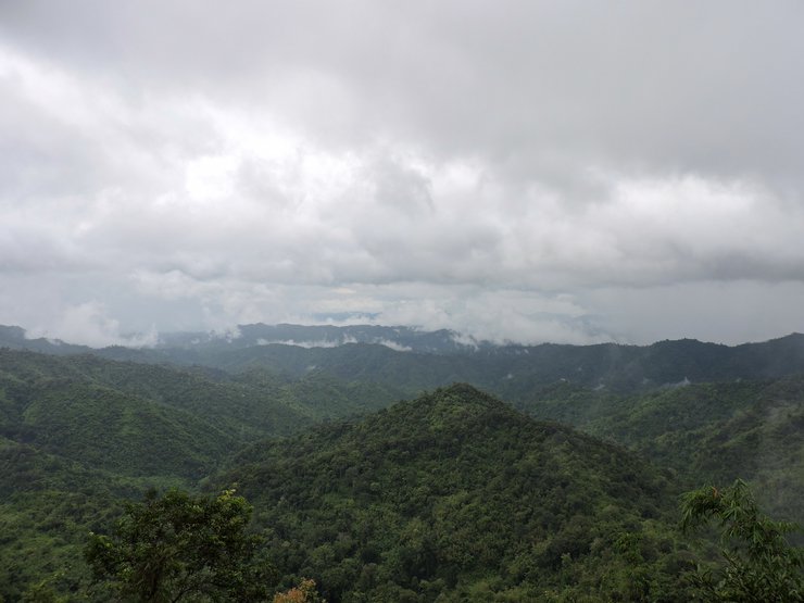
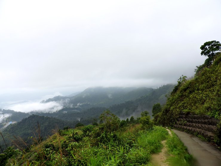
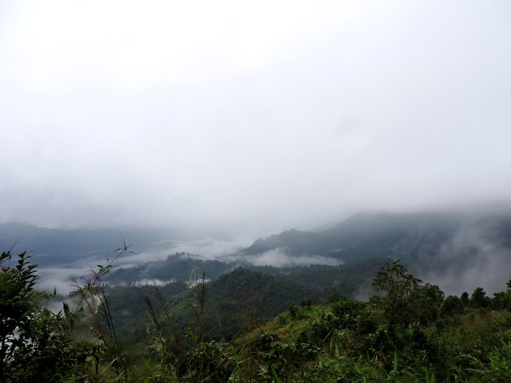
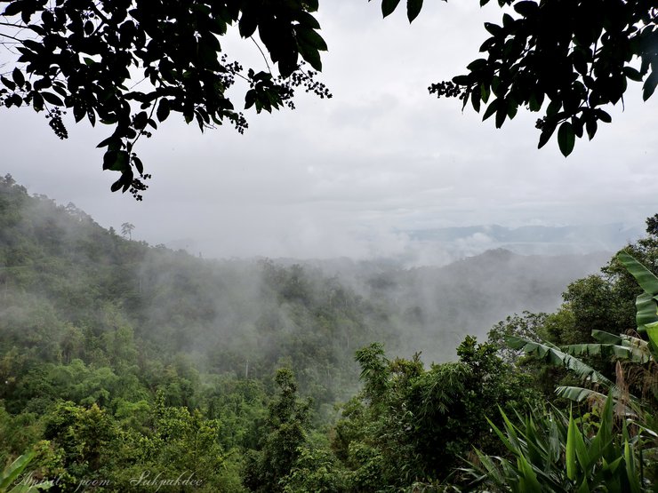
Nuern Gud Doi
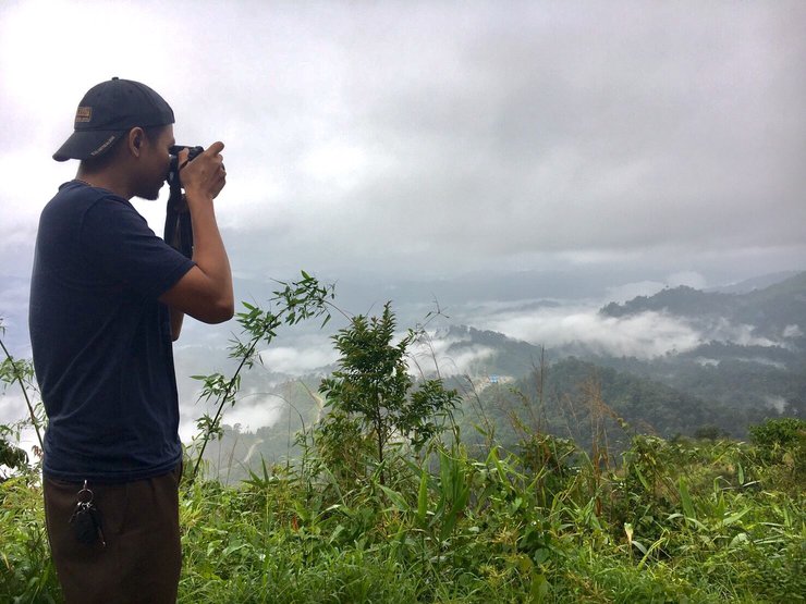
A viewpoint where you can see the complicated mountain ranges. Just a short drive from the entrance.
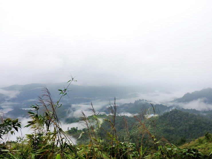
Camping site
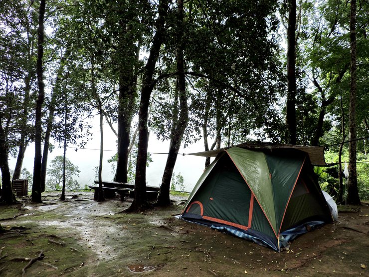

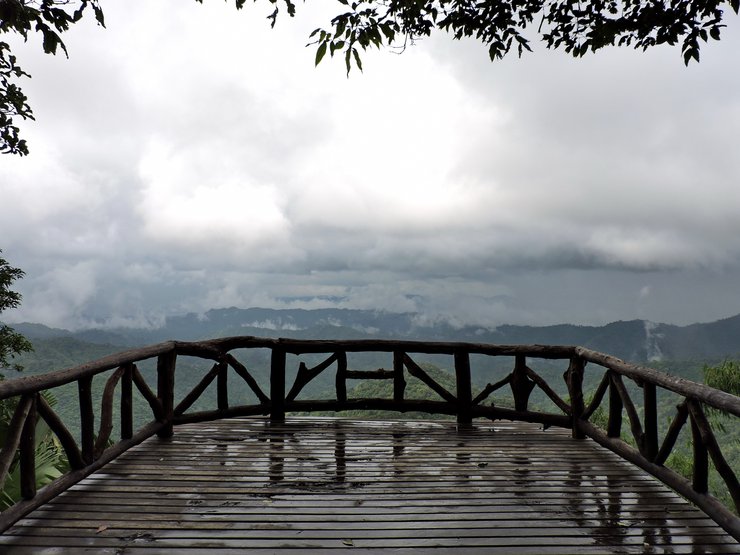
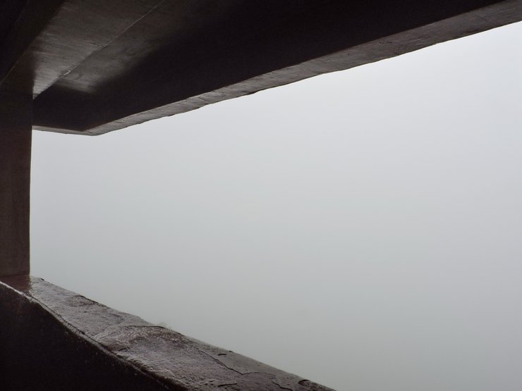
The fog is coming


The balcony hanging from the cliff

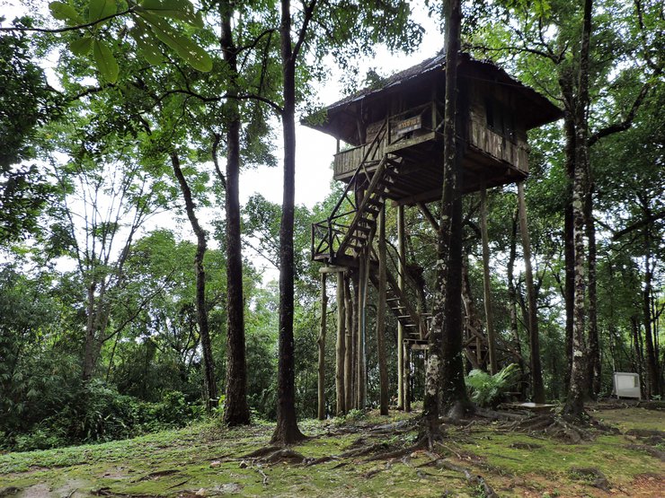
Tarzan's house - Accommodation in the park
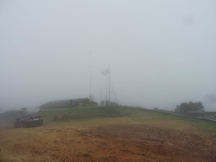
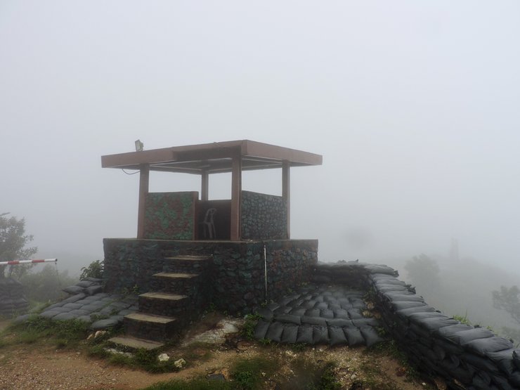
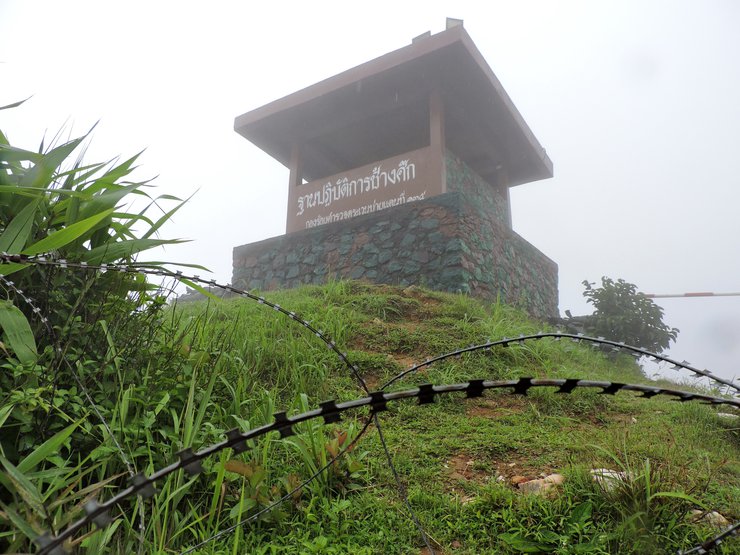
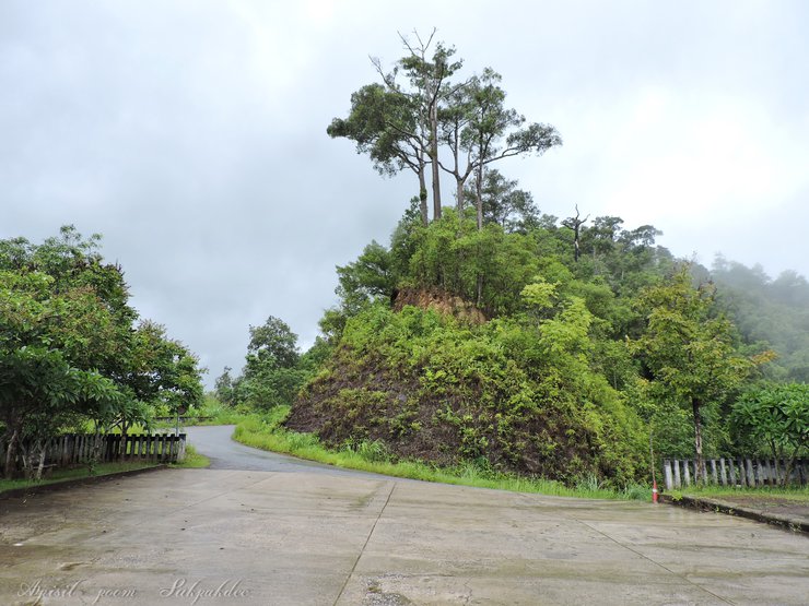
Point 3 - Nuern Chang Suek
It is the 135th border patrol police's base (Chang Suek base) and a viewpoint on the peak of the Thai-Myanmar border. You can camp here, there are toilets but there aren't any rooms, shops or restaurants.
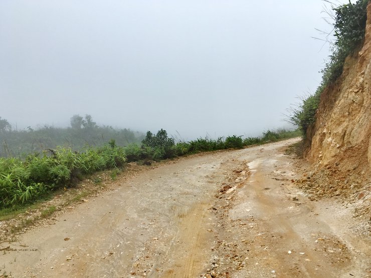
There is a concrete road to reach the Nuern Chang Suek around 1.8 meters from the entrance.
ถึงแล้วจ้าเนินช้างศึก

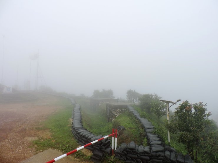
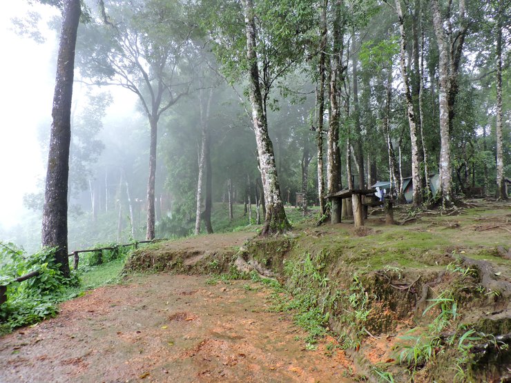
At 3PM, the fog is getting heavy
I can't see the view outside
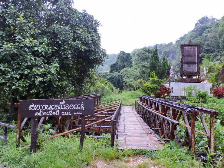
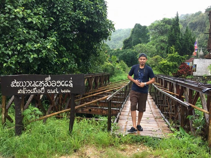
We leave Nuern Changsuek to travel to Etong village (around 2.8 kilometers)
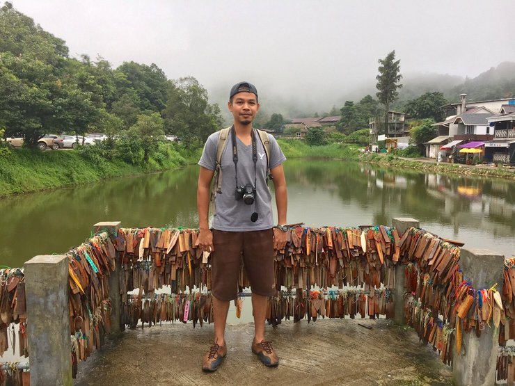
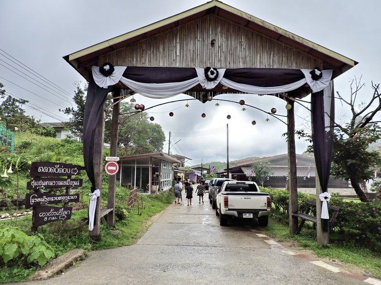
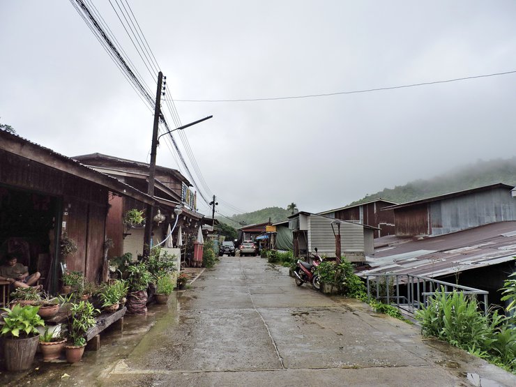
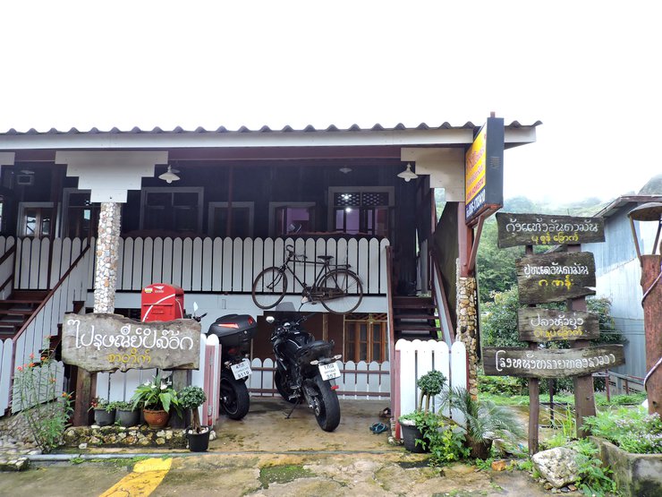
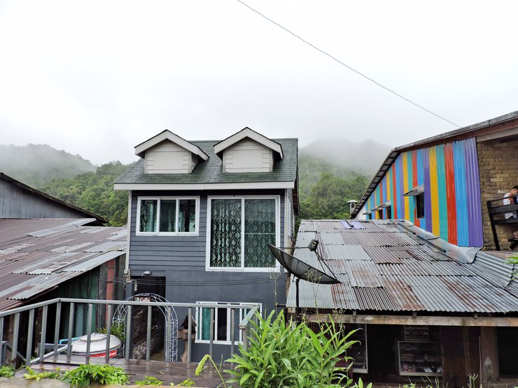
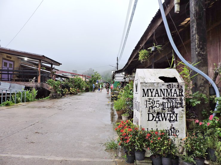
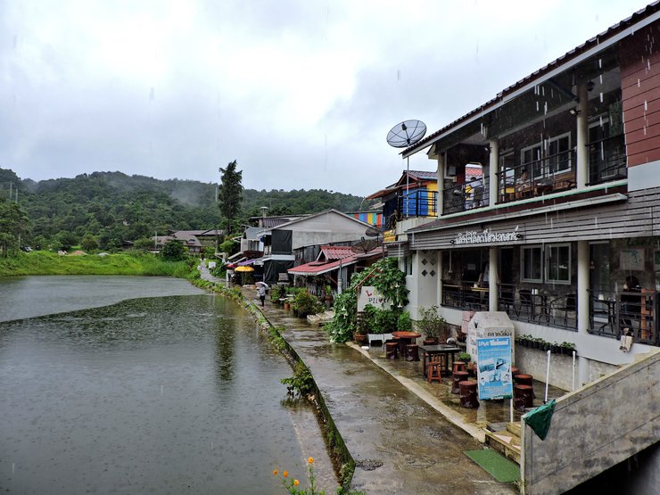
Point 4 - Etong Village
Etong village is a small village located near the Thai - Myanmar border. It is very quiet and safe. There is still natural ways of life here.
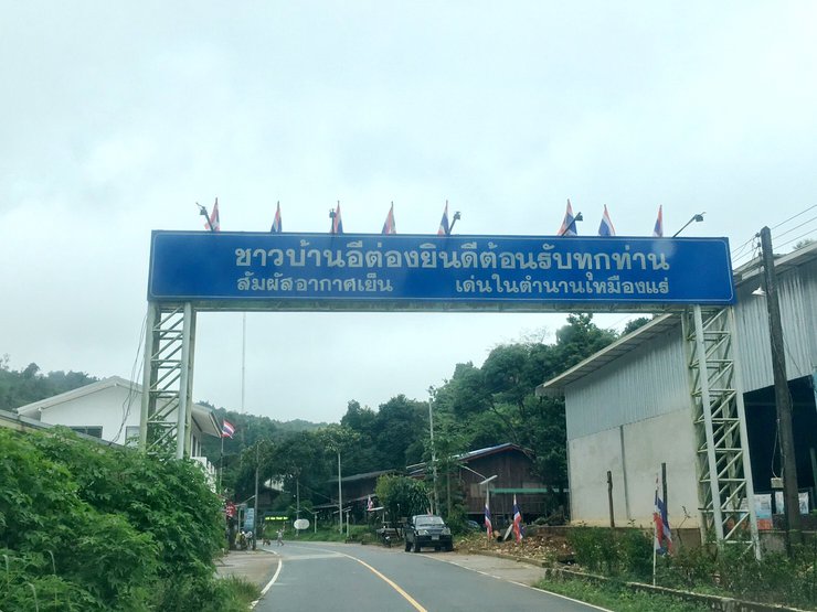
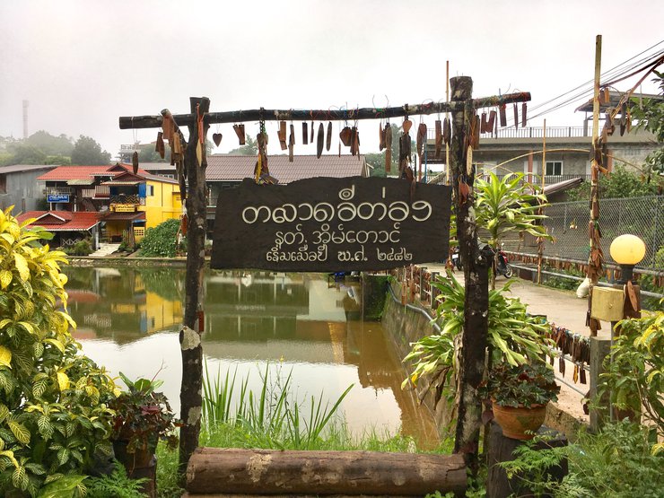
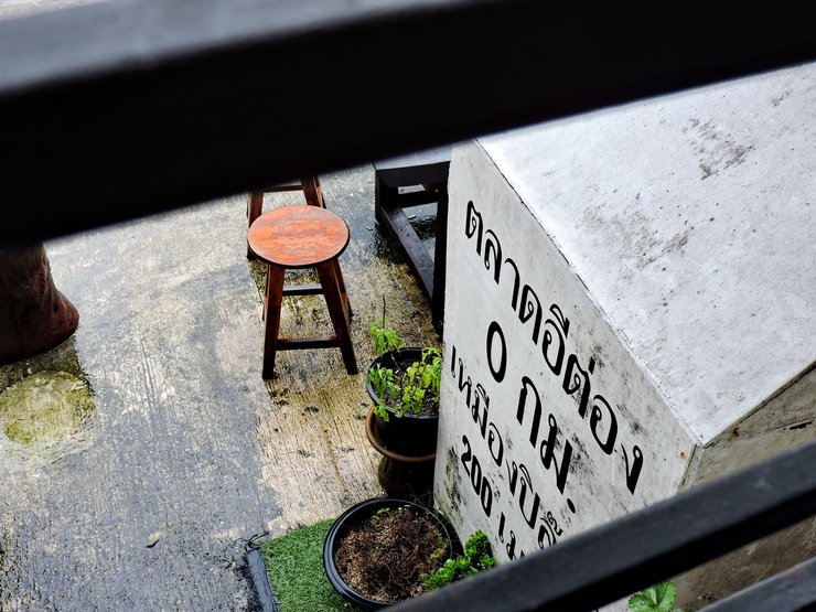
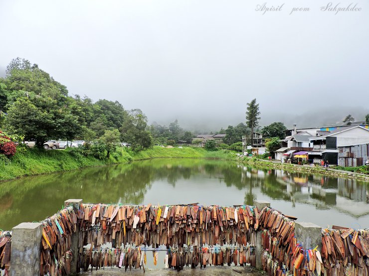
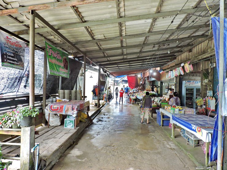
Etong market
The well in the middle of the village
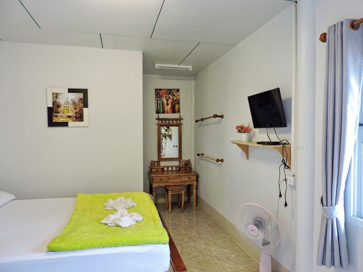
For our stay tonight, we stayed at the Love Pilok home stay for 300 baht/night including breakfast + hot water + TV + WIFI

Inside the room
One fan is enough as it is very cold at night
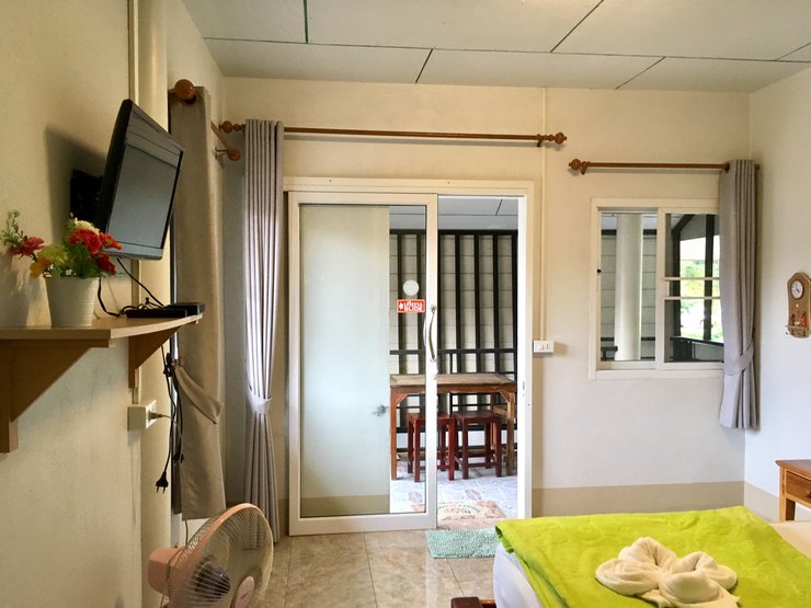
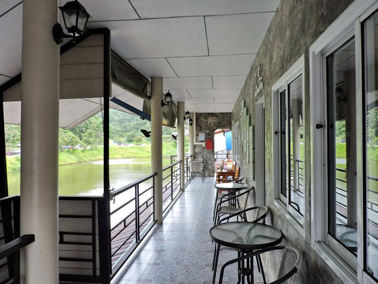
In front of the 2nd floor room
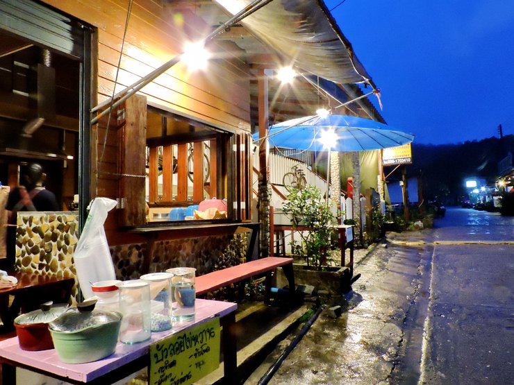
After packing, we went to the market


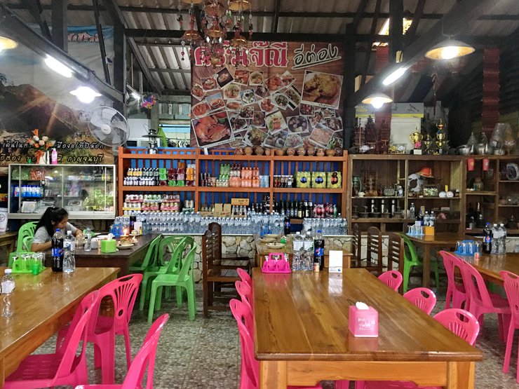
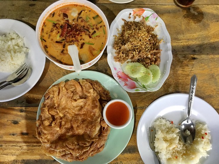
Getting hungry, we had lunch at Jae Ni's restaurant
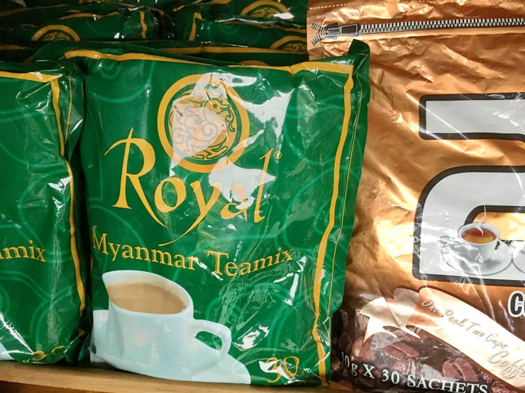
There are also souvenirs from Myanmar for sale

Nice scented Burmese tea (30 in a pack) - 90 baht
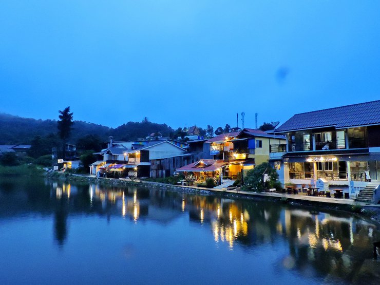
It's getting dark!


Finishing the night with a hot Bua Loi

Second day
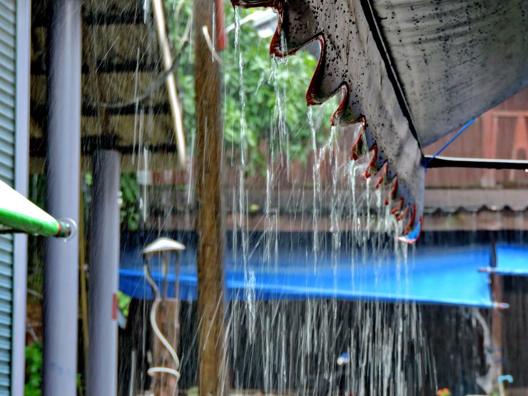
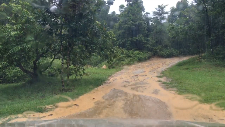
It's been raining since morning and it's cold too
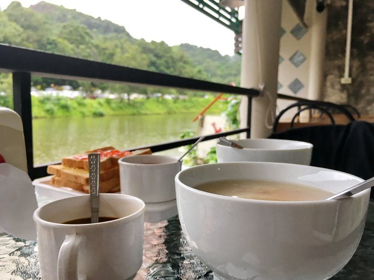
While waiting for the rain to stop, I had some boiled rice + bread and coffee
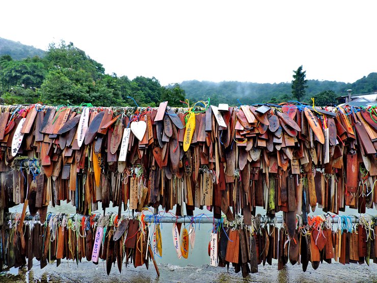
Let's make some name tags! Only 20 baht/each

Mine is in there too
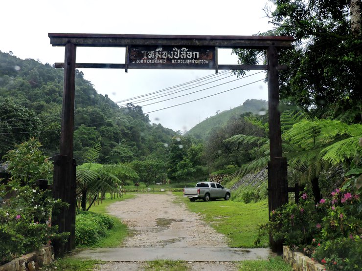
Point 5 - Pilok mine
Pilok mine used to be an old tin and wolframite mine. Nowadays, there is no more mining. Only tourists come to visit the mine.

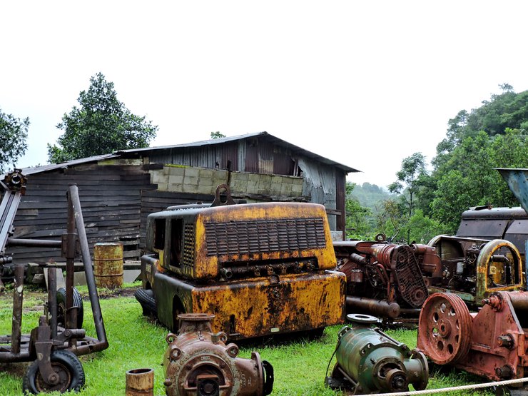
Mining tool shed

Old tools that were used for mining in the past
Outside Pilok mine, we walked to the left side
Helicopter parking space
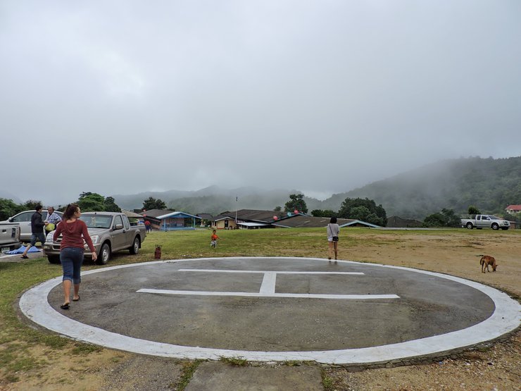
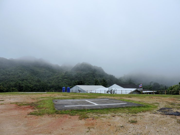
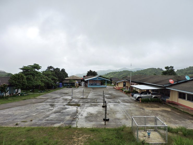
Etong Mine School
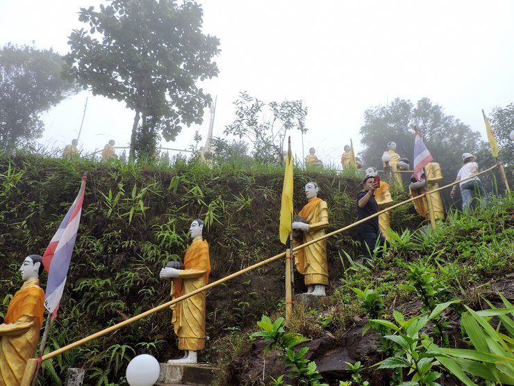
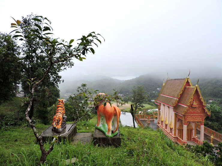
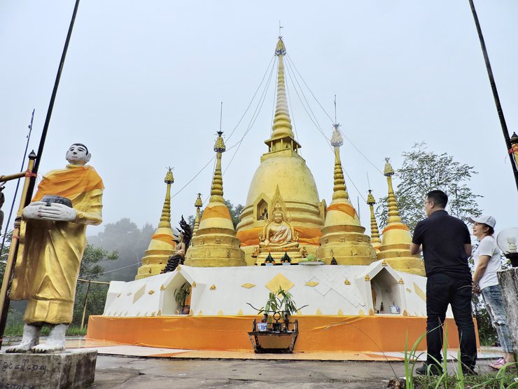
Point 6 - Pilok Mine Temple
The temple is built in Burmese style and located on a mountain in the west which is more than 1,800 tall.


While walking, we took in the beautiful nature
You can see the village from here
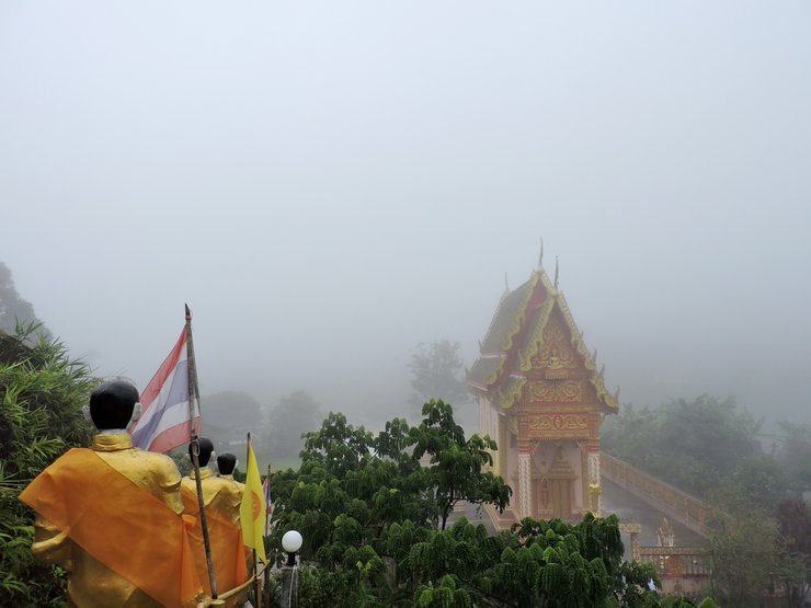
We pay our respects here
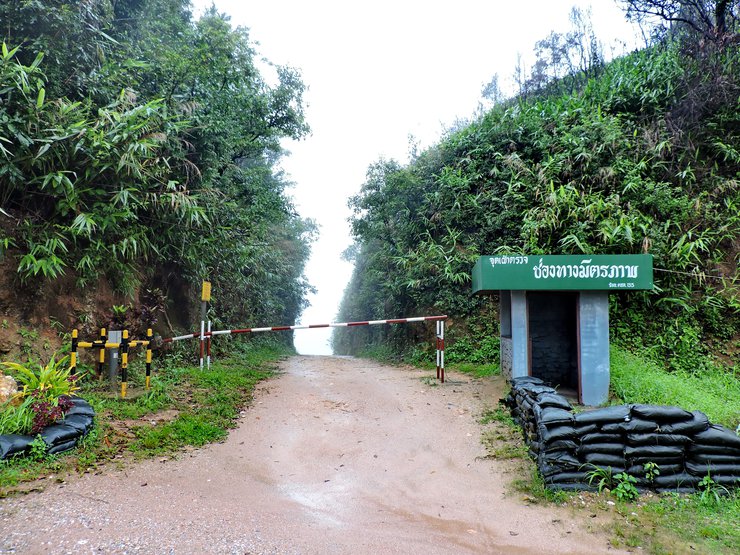
We leave the Pilok mine temple and drive to the Thai-Myanmar pass (around 850 kilometers)
Point 7 - Thai-Myanmar Friendship Pass
เป็นช่องทางแนวท่อก๊าซจากประทศพม่า มายังฝั่งไทย มีจุดพักท่อตามแนวสันเขาผานช่องแคบนี้ ไม่อณุญาตให้นักท่องเที่ยวข้ามไปยังฝั่งประเทศพม่า สามาถเดินเข้าไปสุดแค่ป้อมฝั่งพม่าไม่เกินแนวนี้ จะมีทหารไทย และทหารพม่า คอยดูแลพื้นที่การเข้าออกอยู่ตลอดเวลา
It is a pass for gas pipes from Myanmar to Thailand. Tourists are not allowed to cross to Myanmar from here. This is the farthest you can go. Thai and Burmese soldiers are here to keep watch too.
Myanmar side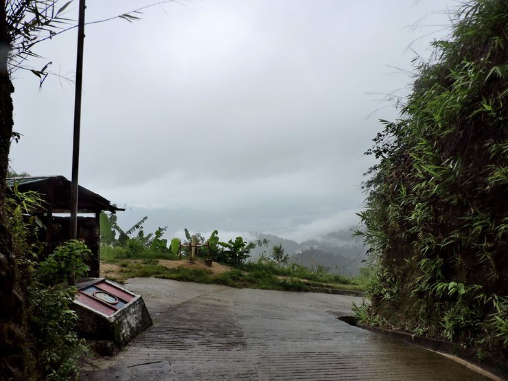
View from the Myanmar side


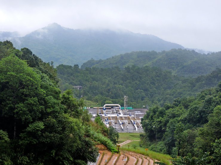
Point 8 - Nuern Sao Thong
Nuern Sao Thong is a border between Thailand and Myanmar. You can visit this place as there are soldiers keeping the peace here.

Near the Burmese base

Gas pipe way
Burmese base

View from Myanmar

Myanmar
PTT. Gas factory
Next we will go to Chokkradin waterfall
Point 9 - Chokkradin waterfall
It is quite rough at the entrance
It is unfortunate that it was raining when I got there. I couldn't go in the waterfall because of the rain. So sad :(

Let's go home!

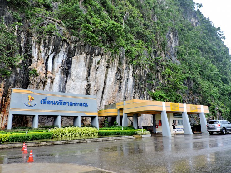
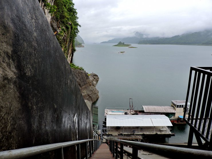
On the way home we went to Vajiralongkorn Dam
Point 10 - Vajiralongkorn Dam
Vajiralongkorn Dam or Kao Laem is the first dam built with rocks in Thailand and used concrete and metal to support it. It is located on the Kwae Noi river. The dam is mainly used for producing electricity.
On the dam
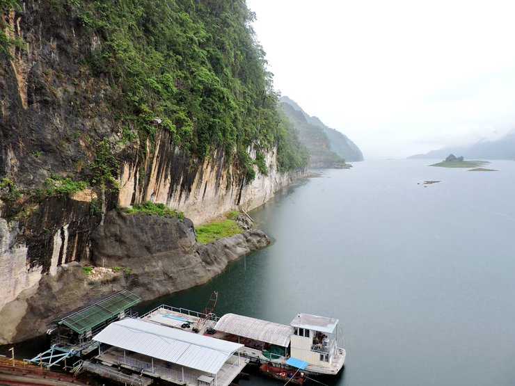

Around the dam


Thank you for reading, follow us here!
FACEBOOK : https://www.facebook.com/poom.evolution.9


Apisit Poom Sukpakdee
Monday, February 12, 2018 10:17 PM