Today, we will take you on a walk to exercise at Doi Pui National Park.
This tourist attraction is located in Doi Suthep-Pui National Park.
Chang Phueak Subdistrict, Mueang Chiang Mai District, Chiang Mai Province
Located at an altitude of approximately 1500-1600 meters above sea level, the area enjoys a cool climate year-round.
Starting this morning (June 6th) after dropping my kids off at school,
Since I didn't have to work the morning shift today, I took my girlfriend for a drive.
Seeing the clouds gathering over Doi Suthep, I felt like taking some cool, misty photos of the mountain shrouded in clouds.
Let's go up to Doi Suthep.
Doi Suthep and Doi Pui are like Pahurat and Sampeng.
Located close to each other, just a short drive away. From the front of Chiang Mai University, it takes about 30-40 minutes by car, passing Doi Suthep for a bit, and then you will reach Doi Pui.
Before anything else, let's stop by for breakfast first. Minced beef noodle soup at Boat's shop in front of CMU. It's an old shop that I've been eating at since I was a kid.
The food looks the same as before, with the familiar taste.

Once you've had your fill, you can drive up the mountain.
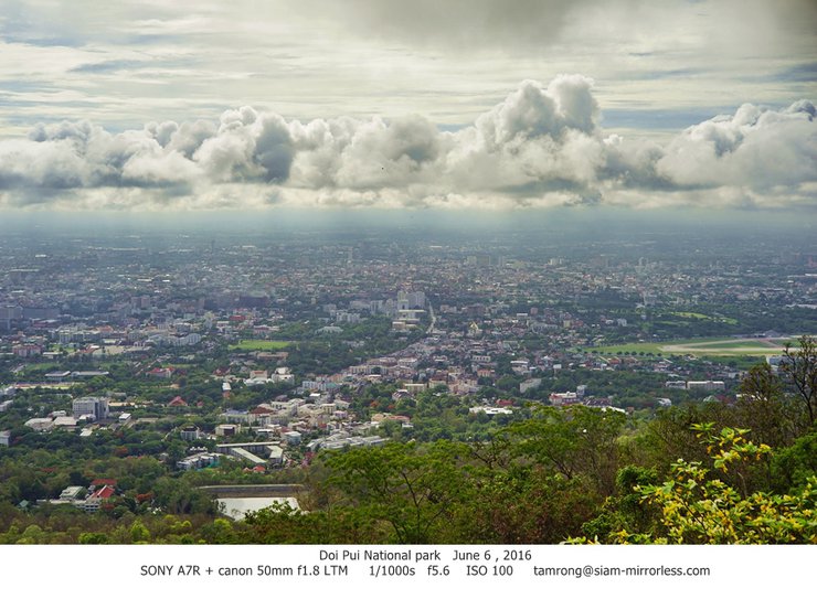
A wall of clouds is covering Chiang Mai, perfectly straight as if an angel had drawn a line with a ruler.
I couldn't help but stop and take a few photos.

As we ascended towards Phuping Palace,
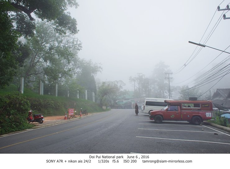
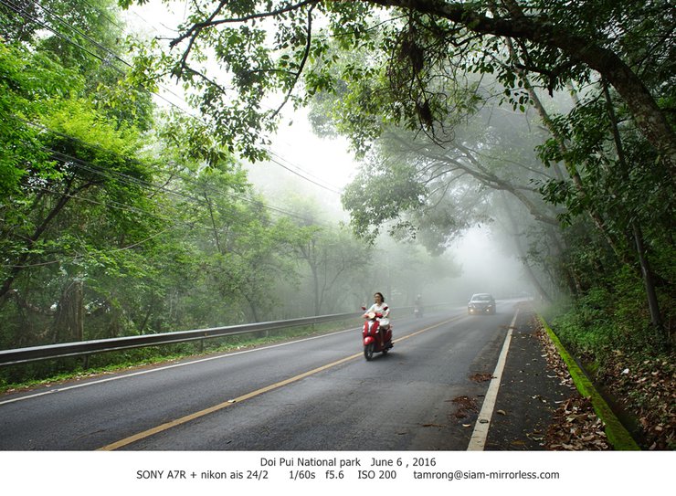
Oh, today the thick fog covered the road, just as I thought it would.
This is what I want to see.


Update June 13th, I went back again, so I'm adding more pictures.
You can see which day each picture was taken under the picture.
I encountered fog again. I've been seeing it a lot lately. I'm really enjoying the fog.


After passing Phra Tamnak, you will reach a three-way intersection. Turn left for Mong Doi Pui village, and turn right for Mong Khun Chang Kian village.
Then turn right to the Hmong village of Khun Chang Kian, where people go to see the wild tiger cherry blossoms.
But this season, the rainy season, the flowers haven't bloomed yet. We won't see each other for another six months.
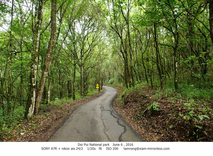
The road will narrow down to one lane, so it might be a bit bumpy, but it's still passable.
Be more diligent in honking the horn so that the cars on the opposite side will know that our car is coming.
This photo was taken while I was parked, not while I was driving. Hehe.


To Doi Pui Campground, 1500 meters above sea level.
Around 9 am, at the beginning of the rainy season, the temperature was 21 degrees, cooler than an air-conditioned room.


Today I will be going for a walk on the Doi Pui viewpoint trail.
The round trip distance is 2.35 kilometers one way, for a total of 4.7 kilometers.
It took about 2 hours to walk and take pictures.
Slow life, slow and chill, the weather is so cool that it's almost cold.
It rarely rains here because we are above the rain clouds. It only rains occasionally.
Most of the time, it's just clouds floating by and hitting my face.
The path to walk will be an unused asphalt road.
Nature has covered the trail with leaves, making it smooth and easy for beginners to walk on.
The slope is like a normal uphill road.
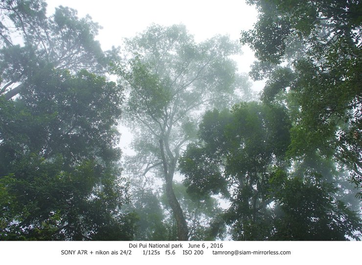
Enjoying the natural scenery, watching the clouds and mist, stopping to take pictures of trees and grass along the way.


The moss-covered road is as green as an artificial turf field, but it is actually natural moss.


After walking up the mountain for about 2 km.
If you walk briskly, it will take about 30 minutes. If you walk leisurely and enjoy the scenery, it will take about an hour.
Finally, we will reach this point. The path runs along the ridge to the viewpoint.
This mountain path is located on a ridge, so it is frequently hit by passing clouds.
Looking down to the left, below is also a cloud.
Looking down to the right, below is also a cloud.
It's like walking on the sky, so I named it the heaven corridor or the walkway to heaven.
How could it not be heavenly? The air is cooler than in an air-conditioned room, and the view is beautiful. Looking down to the left, there are clouds, and to the right, there are clouds.
Lush green all year round, clouds crashing into my face.


At the end of the path, there is a small pine clearing with benches for enjoying the view, nature, and taking a break.
Don't worry if you only see clouds when you arrive, as they will eventually drift away and reveal the view.
Don't worry if you haven't seen the clouds yet. They'll float by eventually.
The weather up here changes all the time. Sometimes it's sunny, sometimes it's cloudy, and sometimes it's cold.


Coming down, I climbed down the stairs.
On the way back, I climbed the stairs to burn off a few hundred calories. I'll have some ice cream to compensate when I get back down.


And that concludes our tour. You can now head back down to Maya for lunch.
Thank you to everyone who stopped by to read.
tamrong
Friday, September 27, 2024 10:07 AM


