"Where is that... Khao Kamphaeng?" I must admit that I furrowed my brow a little when I first heard the name. But when the person who invited me was kind enough to do so, I felt I should accept the invitation. Later, I learned from Google that Khao Kamphaeng is a hiking trail in Chalerm Rattanakosin National Park, Kanchanaburi.
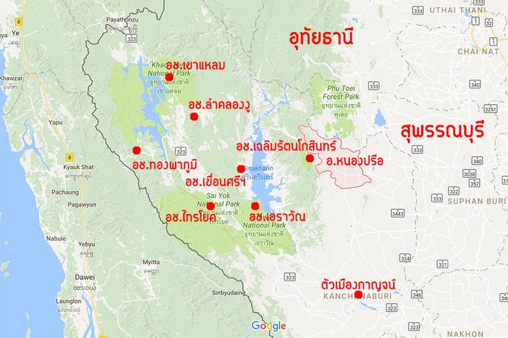
To clarify, while popular hiking destinations in Kanchanaburi like Khao Chang Puak, San Nok Wua, Lam Khlong Ngu, and Thong Pha Phum are located on the western side of the province, Chaloem Rattanakosin National Park is situated on the eastern side. The park headquarters is in Si Sawat district, but it is separated by a forest from Huai Mae Khamin Waterfall and Erawan Waterfall. It is more accessible from Nong Prue district, which borders Suphan Buri, and is a less frequented area by tourists.

Two-Day, One-Night Trip to Khao Sok National Park: A Weekend Getaway in Early September
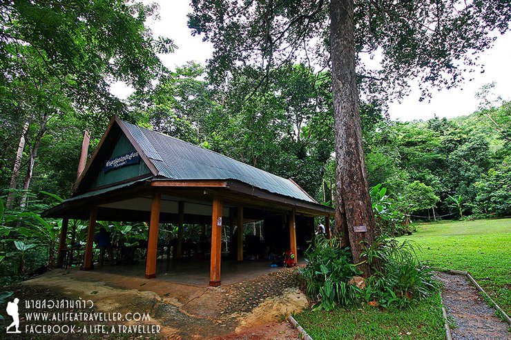
Our journey began on a Friday evening, as we gathered from various locations to spend the night at the park headquarters in preparation for our ascent the following morning. The park is accessible only by private vehicle, or by hiring a chartered car from Nong Prue District (located in Si Sawat District, but avoid approaching from that direction). The distance from the district is approximately 20 kilometers.
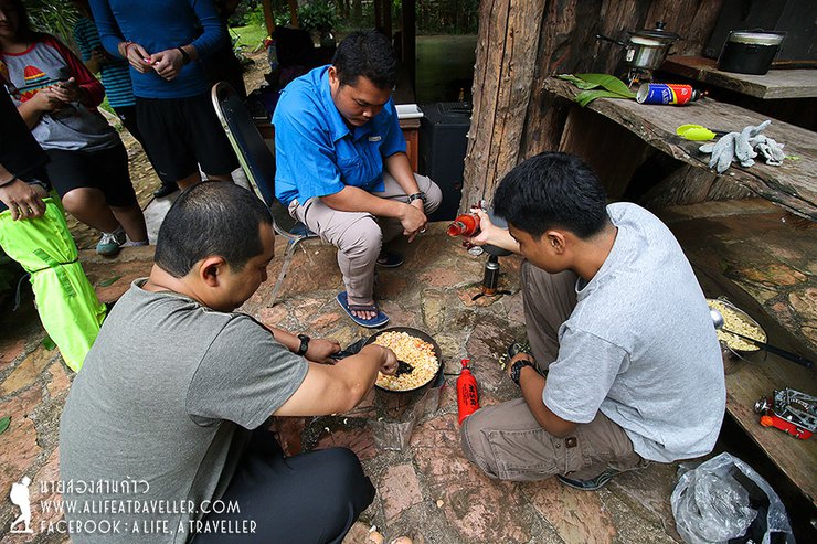
The new day arrived, and the group of seventeen people - sixteen Thais and one New Zealander - gathered. After waking up, they prepared breakfast and packed lunch for the journey ahead.


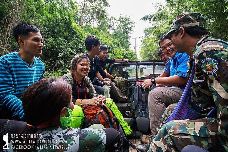
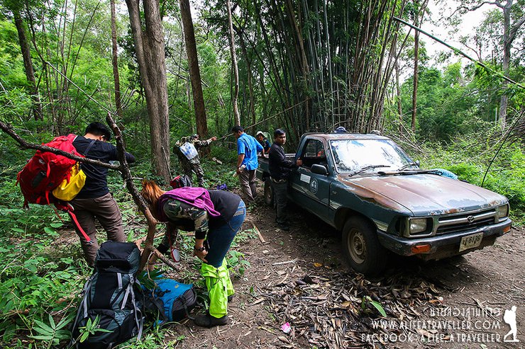
The trailhead is located 2 kilometers from the office. You can choose to walk or take a car (additional fees apply, I will summarize at the end). Considering the situation, we decided to save our energy for the climb, so let's take the car.
Two guides, three porters, and two rounds of car pick-up. I was in the second group, starting the trek around 10:10 am.


The initial ascent was immediate, with no prior warm-up, leaving everyone breathless. Due to the lack of tourists, the trail was unclear, and the initial bamboo forest was sparse, allowing for easy deviation from the path. Without a guide, getting lost would have been inevitable.


We continued walking along the mountain ridge for about forty minutes until we reached a place called Khao Boran. This name is derived from the discovery of ancient stone wall remains, prehistoric human burial pits, and various artifacts. It is believed that this area was once a community, a strategic point for warfare, a military route during the Ayutthaya-Hanthawaddy wars, and possibly also a route used by Japanese soldiers during World War II.


The ancient monument stands at a height of 680 meters, while our destination is at 1,260 meters. However, in terms of distance, we have only covered a small portion of the journey, as we started our trek at an altitude of approximately 300 meters.
Approximately 11:30 AM, we arrived at the first resting point and joined the leading group that was already waiting. We had lunch to replenish our energy. There is a natural water refilling point here, which I must emphasize is the only one during this entire hike. Therefore, please be prepared. There is a makeshift toilet available in case of emergency.


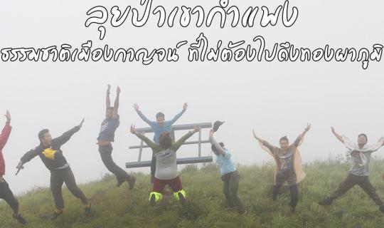
Let's take a group photo, as we started walking in two separate groups.

Alright, then we have to go all out. The path is still quite rough, with obstacles blocking the way. Some sections are very confusing, with no clear path at all. One person goes left, the other goes right, but they eventually find their way back together.


Following the officers for about half an hour, we arrived at the most challenging point of conquering Khao Kamphaeng: the "Three Steps Hill".
Read slowly and clearly. "Three steps" does not mean "three nines." The literal meaning is clear: after walking three steps, you must rest. (Laughter...)
The aptly named Three Steps Hill lived up to its reputation. It was a steep, long climb that ascended hundreds of meters. Even the park rangers took breaks after just a few steps, let alone us who had to stop every three steps. It felt like the weight of our backpacks had doubled.


After repeated attempts and several breaks, we finally managed to climb the Three Steps Ridge around two o'clock in the afternoon. Peering through the trees, we saw the Great Wall and our campsite on the opposite side. It seemed we had to walk around the curve of the ridge to reach it.

As we traversed the ridge towards our destination, a light drizzle began to fall. The path continued to ascend, though not as steeply as the Three Steps Hill. The group spread out, as there was no risk of getting lost from this point onwards. In several sections, the cogongrass grew tall, nearly reaching our heads. The park rangers had to clear a path with machetes, as, as mentioned, not many people venture up here.


At 3:15 PM, after wading through tall cogongrass and light rain, we reached the first viewpoint on the ridge. From here, we were treated to a breathtaking panoramic view of the lush green forest of Chalermphrakiet National Park.


The wind, rain, and fog have all arrived, bringing a refreshing abundance.


The path then took a sharp left turn, leading us into a dense forest before emerging from the treeline to encounter a blanket of white mist enveloping Mount Kamphaeng.


We finally arrived at the campsite around 4:30 pm. I was the last group to arrive because I spent more time taking pictures than anyone else. In total, it took us a little over six hours to hike from the starting point, covering a distance of approximately 7 kilometers.
The campsite was situated on a slightly sloping terrain with limited space and minimal open areas, making it more suitable for hammocks than tents. However, due to an initial miscommunication with park officials, our group brought several tents (including mine). This resulted in the need to share space and sleep in a somewhat cramped arrangement.


Regarding the leeches, we did not encounter any on the trail until we reached the summit, where we found a small number clustered in isolated patches. Three or four people were bitten and had their blood sucked, but I was fortunate enough to avoid any bites despite not taking any precautions.
The view from Khao Kampaeng is stunning. (Haha…)

No problem, we have plenty of time. After 5 pm, the sky gradually cleared, and finally, we were able to enjoy the panoramic view.

From the viewpoint, there is a sign (which has been blown away and we have collected) as the center. Looking at it like a clock,
At 9:00 AM, the left side is the Chalermprakiet Kosin National Park, and the path we are walking along the ridge leads to the Huai Kha Khaeng Wildlife Sanctuary at 11:00 AM. This sanctuary is located across several mountains in the Ban Rai district of Uthai Thani province. Looking diagonally ahead at 1:00 PM, we can see the Phu Toei National Park in Suphan Buri province across the mountains. The peak of Khao Thewa is also located in this direction. The agricultural area in front of us is Khao Chod sub-district, Sri Sawat district, followed by Nong Prue district.

With the clear skies, I, the designated photographer of the trip, had a blast capturing the moment. I couldn't resist snapping away.


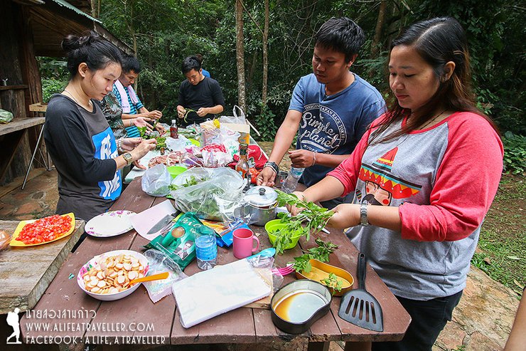
For dinner, the chef team meticulously prepared the dishes. Let me tell you, you can't enjoy such a feast at home (laughs...).


The weather in the early evening was not very bright, and I could guess that it would be difficult tonight. As expected, around 8 pm, the wind and rain hit hard, as if they were trying to destroy everything. Those who had hammocks quickly hid in them, and those who had tents hid in them. For those who slept on "pla too" (spreading a tarpaulin on the ground and using a flysheet as a roof), it was a bit difficult, and they had to sleep playing in the water as usual.
The heavy rain poured for hours that night, accompanied by the howling wind. The hope of waking up to a beautiful sunrise vanished. Upon opening the tent, the sight that greeted us was exactly as we had imagined... a vast expanse of white. Despite this, we managed to maintain our spirits and have fun.


We managed to collect the sign, but we couldn't see the view anymore. (Haha...)

After breakfast and preparing to descend the mountain, the sky finally cleared around 10:30 am, offering us a breathtaking view of the lush green landscape as a farewell to Khao Kamphaeng.


Due to the heavy rainfall last night, the descent was quite challenging. We had to measure the depth of the water several times as a safety precaution. It took approximately four hours to reach the pick-up point, including a break for lunch.
If you ask me if conquering Khao Kampaeng was difficult, I must honestly say that as I write this, I have completely forgotten how difficult, challenging, or strenuous it was. All I remember is how refreshing the view from the top was, how satisfying it was to stand in the rain, and how happy I was to see the mist clinging to the green mountains.
Standing on the mountaintop, all the hardships I had endured vanished. The fatigue remained, but it no longer discouraged me. It didn't feel insurmountable anymore. Perhaps that's another reason why I fell in love with hiking.
In addition to hiking, Khao Kamphaeng also offers trails to waterfalls on the mountain. Park officials have indicated that overnight camping is permitted. Those interested can contact the park for further information.
The Chalerm Rattanakosin National Park offers easy-to-access natural attractions, including the Tham Than Lod Noi and Tham Than Lod Yai caves, which are connected by a 5-kilometer nature trail. Additionally, the park features a waterfall with a natural slide near the park headquarters.


Unfortunately, I could only visit Tham Thalu Lot Noi and couldn't reach Tham Thalu Lot Yai because the visiting hours are limited to 4:30 PM. Next time, I will have to find time to make amends, bring a tent to camp overnight, and explore both caves, as well as enjoy the waterfall a little more.
This concludes our review and trip. I hope you now understand that the forests of Kanchanaburi are not limited to Sai Yok, Thong Pha Phum, Sangkhla Buri, or Si Sawat.
Expenses for Hiking at Khao Kamphaeng National Park
Entrance Fees:
- Thai citizens: 40 baht
- Foreigners: 200 baht
Vehicle Fees:
- Car: 30 baht
- Motorcycle: 20 baht
Camping Fees:
- 30 baht per person per night
Guide and Porter Fees:
- 800 baht per person per day (The park requires a minimum of 5 guides/porters for our group)
Transportation Fees:
- 800 baht for roundtrip transportation from the park headquarters to the trailhead (includes 300 baht for the driver and 500 baht for the vehicle. Our group requires two trips, totaling 1,300 baht)
Follow my travel adventures on another channel:
http://www.facebook.com/alifeatraveller
นายสองสามก้าว / A Life, A Traveller
Friday, September 27, 2024 10:38 AM

