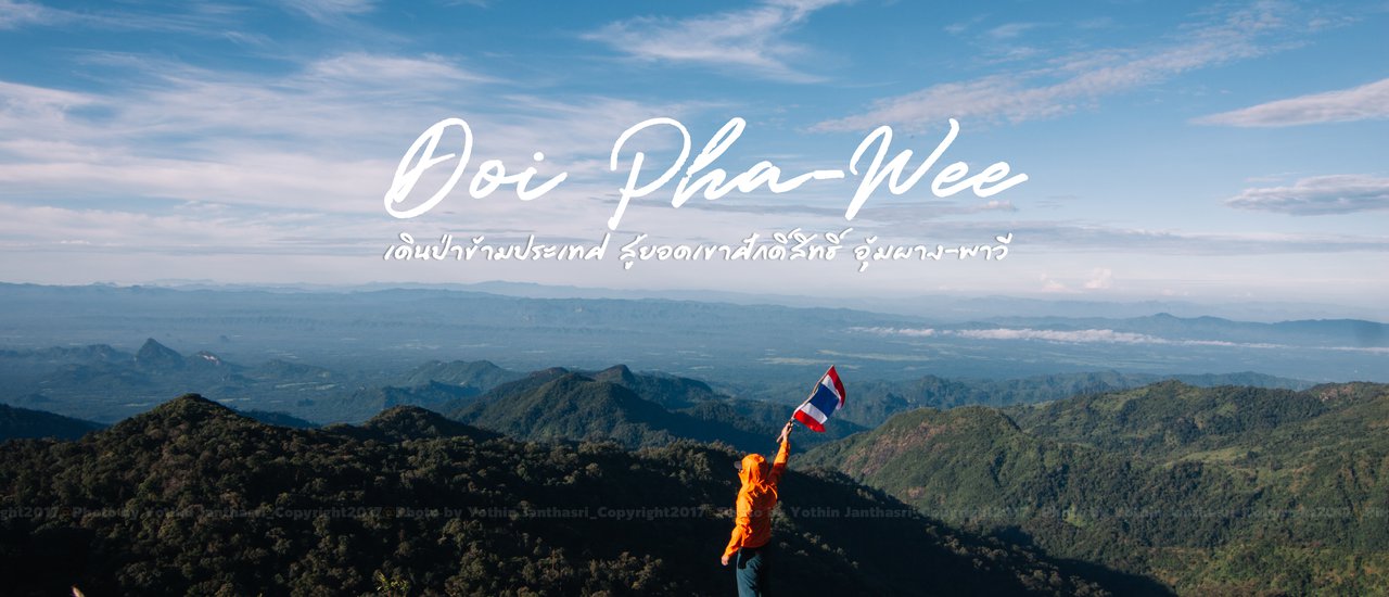
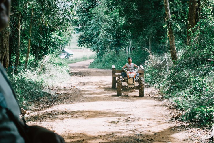
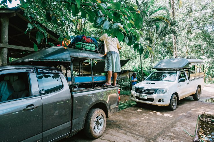
Mount Pawi, located in Ban Mae O Ko, Mae Jan Subdistrict, Umphang District, Tak Province, is a mountain range that forms the border between Thailand and Myanmar. It is a popular destination for hikers who want to conquer this sacred mountain. After being closed to tourists for a year due to the fighting in the neighboring country, it has reopened to allow tourists to experience its beauty once again. Although tourists cannot reach the highest peak of Doi Pawi, it does not diminish our desire to do so. The peak of Doi Pawi is 1,920 meters above sea level, which is quite high compared to other mountains in Thailand. Two years ago, before it was closed, tourists were allowed to hike to the highest peak. Looking down from the top in the morning, with the sea of fog and the red sunrise, it is something that many people are looking for, including us. The journey from Bangkok to Umphang District, Tak Province, starts at the house of Mr. Kham Singh, or as everyone knows him, Kham Singh Homestay, a famous tour guide in Umphang. After eating, getting dressed, and packing our belongings, we boarded a pickup truck driven by a local villager and headed to Ban Mae O Ko, which took about 1.5 hours. The road from Umphang to Ban Mae Jan is paved. When you reach Ban Mae Jan, there is a turnoff to Ban Mae O Ko, a distance of about 7 km. The road is a mixture of gravel and concrete all the way to Ban Mae O Ko, which is where we will start our hike up Doi Pawi.

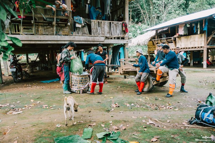
Upon arrival at the Ma-O-Ko village, we will encounter a Border Patrol Police (BPP) checkpoint. All members must register with the officers and have some of their belongings carried by porters.


After organizing their belongings and having a meal, it was time for them to begin their journey on foot.

The sentence is already in English and does not require translation.

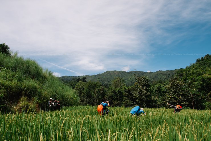
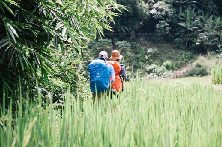
As you begin your journey on foot from the village, you will pass through the rice fields of the local farmers. During this time, the rice is in full bloom, with lush green stalks lining both sides of the path, creating a truly breathtaking sight.

In addition to the green rice fields, the roadsides are also adorned with beautiful and unusual spiders.


We traversed the lush rainforest, following the stream upwards. Occasionally, we encountered open clearings where villagers' water buffalo grazed. During these stretches, we had to be extra cautious of the numerous leeches. The stream water, when rain was absent, was remarkably clear and potable.

After approximately 3.5 hours of trekking, we arrived at the base camp. Our journey took us through a lush rainforest, following a stream uphill. We encountered open fields where villagers' water buffalo grazed. The trail was particularly muddy due to the presence of "น้องทาคุจัง" (a type of leech). We had to be cautious and avoid them. The stream water was crystal clear and drinkable when it wasn't raining. The total distance covered was approximately 4 kilometers. With clear skies above, it was time to set up camp.

The rain greeted us as soon as we finished setting up camp.


After setting up camp, we cooked a simple meal and enjoyed each other's company. Tomorrow morning, we will wake up to a stunning sea of fog.

This morning, the weather is pleasant, and there is a moderate amount of sea fog to enjoy.


After watching the sunrise, we will hike to the Three Rocks, the furthest point we can reach for now. The distance from the camp to the Three Rocks is about 1 km, and the path is not very steep.


Note: The original text is empty, so the translation is also empty.
At the Three Rocks, the view down is a sheer drop. Exercise caution with every step.

Looking down from the three rocks, if the sky is clear, you can clearly see the camp.

We ascended and descended twice today, as the distance was not too great, and once more on the morning of the third day to capture as many images as possible.

On the morning of the third and final day, after ascending the Three Stones, the campsite was bathed in sunshine and the sky was clear.


The sentence is already in English and does not require translation.
It's time to pack up and go home.


At the end of the village, there is a stream and a waterfall where you can take a refreshing dip before heading back.

The descent took us no more than two hours to reach the village. Upon arrival, we had to check in at the Border Patrol Police (BPP) office.
::Costs to be aware of::
- Porter fee: 500 baht per person per day
- Security fee for neighboring countries: 50 baht per person
- Site maintenance fee: 10 baht per person
In addition to these, for transportation costs from Umphang, please contact Kham Singh Homestay.
In closing, I would like to express my gratitude to all my fellow travelers for the amazing photos. Please also follow our humble page for more stunning travel destinations in the future.
Follow our journey and updates on our Facebook page: Little by Little
The original text is empty. There is nothing to translate.
นายตัวน้อย
Friday, November 8, 2024 4:05 PM

