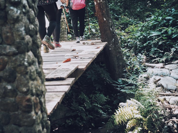
"One day I walked into the forest, I met a bird. It asked me where I was going.
So I answered, I want to go far, far beyond where I've ever been…"
When the rainy season is over, the winter season takes its place, and the tourist season follows.
"I want to sleep under the stars," these words came up, so we arranged a date for November 3-4.
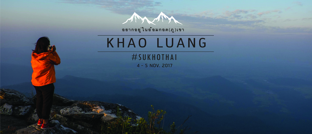
We're going to sleep under the stars at Khao Luang, Sukhothai Province.
But guess what!!! I forgot to check the calendar.
It's "Loy Krathong Day," the full moon of the twelfth lunar month, water overflowing the banks, the day when the moon is full.
What to do now? To keep the trip from being ruined, we still have to stay.
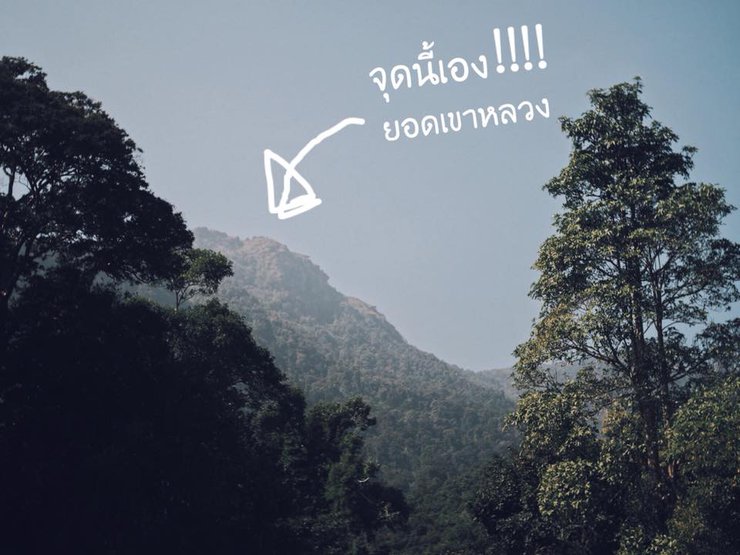
Let's get to know Khao Luang, Sukhothai Province, a little bit. Khao Luang is located in Ramkhamhaeng National Park. It has a mountainous terrain, standing majestically in the middle of rice fields. There is a prominent mountain peak that can be seen from afar, which is the peak of Khao Luang. The weather on the mountaintop is cold all year round, with fog covering it heavily in the winter and rainy seasons. The average temperature is around 12-14 degrees Celsius. The suitable period is around September-February.

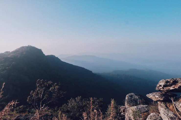
Mount Luang, standing at 1,200 meters above sea level, is a mountain with steep cliffs and high peaks. The summit offers stunning views and is covered in natural grasslands. There are four unmissable peaks: Narai Peak, Phra Mae Ya Peak, Phu Ka Peak, and lastly, Phra Chedi Peak.
This trek into the forest... well, let the pictures do the talking. 55555

One day... I walked into the forest, embraced by the mountains @Khao Luang Sukhothai for 2 days and 1 night.
We traveled by renting a van from Bangkok. There were 7 people in the trip.
(This trip will have a lot of pictures because we brought a lot of cameras. Haha)

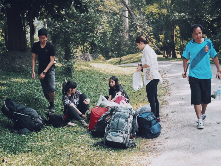
On the morning of November 4th, we arrived at Ramkhamhaeng National Park with our individual belongings and food for the night. We hired porters to carry all of our belongings up the mountain for 25 baht per kilogram.


Let's start walking! This nature trail is not very long, about 3,720 meters, but be warned, the path is steep and challenging, and there is a risk of slipping. Let's take a long look!

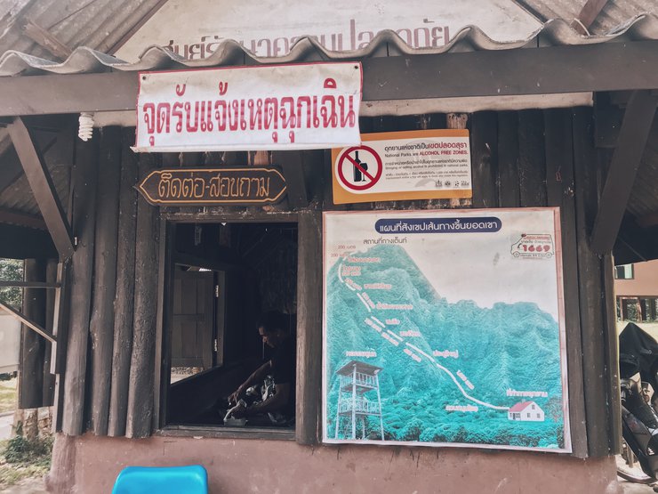
Judging from the brief map of the route to the summit, we can already brace ourselves for a challenging climb.


The trail features a mix of steep and gentle slopes, with occasional slippery sections. Rest stops and water refill stations are available throughout the journey.


This is the first viewpoint, and the view is breathtaking. We stopped here to eat and bought sticky rice with pork.

We then continued our journey. We heard that the road ahead would be extremely difficult.


Judging from the faces of my fellow travelers, it's clear that... they're not very tired at all. Haha!


We finally arrived at our destination. We split up and walked without waiting for each other. The last group, which included the admin, took about four hours to walk. Then, we sat down to rest before heading out to watch the sunset.


We are ready to continue our journey. Let's go watch the sunset.


After the sun had set, we walked back to our tents and prepared our dinner, which was a large pot of sukiyaki that would last us until the morning.

At night, there wasn't much to do besides stargazing, as everyone was exhausted from the day's hike. The air and water in the bathroom were cold, and the wind was incredibly strong. We decided to watch the sunrise together the next morning. However, due to the cold and strong wind, we decided not to go. Some of us still went, though.


We prepared ourselves for the descent and had a simple meal from the food we had purchased the previous day.
Before starting our descent, we took a picture to commemorate our achievement as "Conquerors of Khao Luang Sukhothai".

หลง กิน เที่ยว : Long Kin Tiew
Friday, November 8, 2024 4:07 PM

