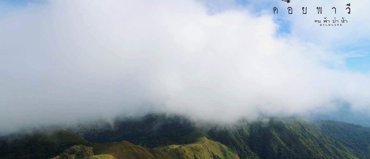
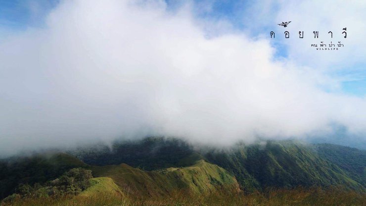
Doi Pha Wi: One Mountain, Two Countries
Our journey on foot began at the house of the assistant village headman in Mae Chan district, Tak province. But before we get to that point, let's start from the beginning...

Watch another channel....https://youtu.be/ry9bKHyEP8w
Follow more stories at https://www.facebook.com/wildlife.feelfree/.
I have hiked many mountains in Tak Province, including Doi Luang Tak, Pitoe Lo So, and Tee Lo So. Through these hikes, I became acquainted with Mr. Kham Sing, the owner of Kham Sing Homestay in Umphang District, Tak Province. Due to my frequent use of his services, we developed a rapport, which led to his recommendation of Doi Pha Wi, a high mountain on the Burmese side that requires a trek from Thailand.


This new name, Doi Pawi, is intriguing. I've never heard of it before, and my search for information yielded few results. The lack of crowds is appealing, so I contacted them immediately. My brother wants to climb Pawi, but...


Deeply disappointed, the path to the top of the mountain was closed due to safety concerns and other various reasons. This occurred in 2016, and we simply moved on to other destinations. It seemed like the incident had faded from memory, until one fateful day...
The following is a translation of the provided text from Thai to English:
"This year, Singha Home Stay is open for walking."
The original text appears to be a message from a LINE app user named "Singha Home Stay" informing the recipient that their property is open for walking this year.
Regardless of your location in Thailand, reaching the summit of Doi Pha Wi requires a journey to Umphang District. From Umphang, a further 30-kilometer drive leads to Mae Jan Subdistrict. From Mae Jan, the village of Mae O Ko is a 10-kilometer trek, followed by a final 10-kilometer hike to the summit of Doi Pha Wi.

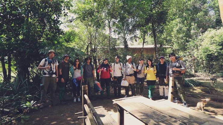
Around 7:00 AM, we gathered at Kham Singh Homestay. We had breakfast, washed up, and prepared for the trek. We bought some additional supplies and fresh food. Once ready, we took a shared taxi to Mae O-Ko Village, picking up our porters in Mae Jan along the way. And then, our trek began.

Still at ease, passing through the rice fields.


The Initial Trail: A Gentle Stroll Through Rice Fields and Village Farms
The initial phase of the trail unfolds as a leisurely stroll through rice fields and village farms. The path remains flat and comfortable, allowing for a relaxed pace before transitioning into the forested terrain.
Ascending the Slopes: A Gradual Climb Towards the Campsite
As the trail enters the forest, the terrain transforms into a steeper incline, gradually increasing in difficulty. The ascent covers a distance of approximately 5 kilometers, leading to the designated campsite. While the inclines present a challenge, the relatively short distance mitigates the overall strenuousness of the climb.
Absence of Leeches: A Pleasant Surprise
Despite warnings of abundant leeches, the trail remained remarkably free of these creatures. The timing of our visit, following the heavy rain season, likely contributed to the reduced leech population. The decrease in moisture levels created an unfavorable environment for them, sparing us from any unsettling encounters.
A Scenic Reward: Beauty Unveiled
The absence of leeches enhanced the overall beauty of the trail, allowing us to fully appreciate the surrounding scenery. The vibrant colors and lush vegetation painted a picturesque landscape, making the journey a visually captivating experience.

The slope begins to rise gradually.


Lunch break in the middle of the forest
The campsite has a small stream for drinking and bathing. Today, we set up our tents, cooked, relaxed, and slept under the stars. Tomorrow, we will start our journey to the peak of Yaw Paw.


Capture the beauty along the way.
The provided text is in Thai and I can translate it to English for you. Here's the translation:
The night was very comfortable, the air was cool, and the sky was full of stars. Last night, we had a lot of fun taking pictures of the stars. This morning, we are preparing to climb the mountain. Originally, we planned to move our camp to another spot, but after talking to our guide, we changed our plan a little. We will climb the mountain and then walk back to our original camp. Hmm, I feel a little sorry. I wanted to sleep in two places, but after actually walking, I think it was the right decision. This way is better…
I hope this translation is helpful!


On a starry night...


After a hearty breakfast, we set off around 9:00 am with Yod Phavi as our destination. While the destination was undoubtedly important, the journey itself held equal significance.


Shortly after leaving the camp, we reached the highlight of the area. While it was primarily a sunset viewing spot, we didn't mind the timing as the scenery was equally stunning at any time of day. We spent nearly two hours taking photos at this location, which may seem excessive, but the breathtaking views truly captivated us. As we basked in the cool breeze, we agreed to return on our way back to witness the sunset. With that, we continued our journey.


From the sunset viewpoint, looking back, you can see the campsite…

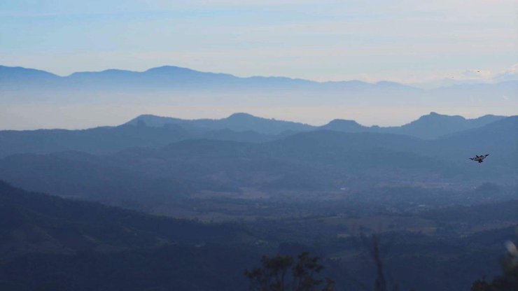
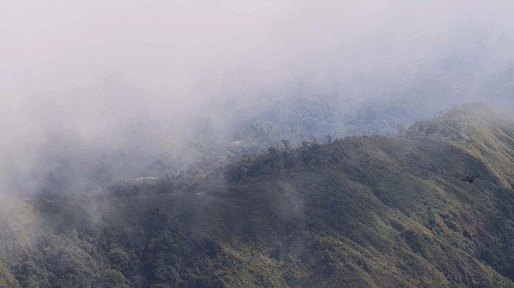
The entire trail boasts breathtaking views, with sections hugging cliffs and alternating between uphill and downhill climbs. Wildflowers bloom along the path, and a cool breeze provides constant refreshment, making the journey surprisingly effortless.
The journey has reached a point where men and women must part ways. Here, at the peak, the Yoddoi Pawa will not allow women to ascend. Therefore, the Yoddoi Pawa is reserved for true men only.
Notes:
- The original text uses informal language and includes slang. The translation uses more formal language and avoids slang.
- The original text uses the word "ผู้ชาย" which can be translated as "man" or "men". The translation uses the word "men" to be more inclusive.
- The original text uses the word "ตัวจริง" which can be translated as "real" or "true". The translation uses the word "true" to be more specific.
- The original text uses the phrase "จุดสูงสุด" which can be translated as "highest point" or "peak". The translation uses the word "peak" to be more concise.
- The original text uses the phrase "ย อ ด ด อ ย พ า ว" which is a Thai slang term for a dangerous or challenging place. The translation uses the phrase "Yoddoi Pawa" to maintain the original meaning while using more formal language.
We stopped for lunch at the end of the ladies' path. After lunch, we said our goodbyes. My brother had to leave me to follow his dreams, heading for the top of the mountain. I hope we can meet again when he comes down.


Continue... the path to the peak of Yod Doi Pawi is truly extreme. I think it's good that you didn't come up here. It's so steep... incredibly steep, ridiculously steep, unbelievably steep. You walk five steps, rest for four, walk three steps, rest. What's even more intense is that there's no path. You see your destination far in the distance, and you just keep going until you reach the end... It's incredibly tiring, but it's worth it.
A small pile of stones, a stupa in Pawi.
Doi Pha Wi...one mountain, two countries, another beautiful memory.
The path is beautiful.
Beautiful fellow travelers
The weather is beautiful.
Every atom and angle of nature is exquisitely beautiful.
Embracing nature, enduring hardship, and relinquishing comfort can be rewarding.

Contact Kham Sing Homestay for directions to Pha Wi. They offer excellent service. Phone number: 0818139742
คน ฟ้า ป่า น้ำ
Friday, November 8, 2024 4:12 PM

