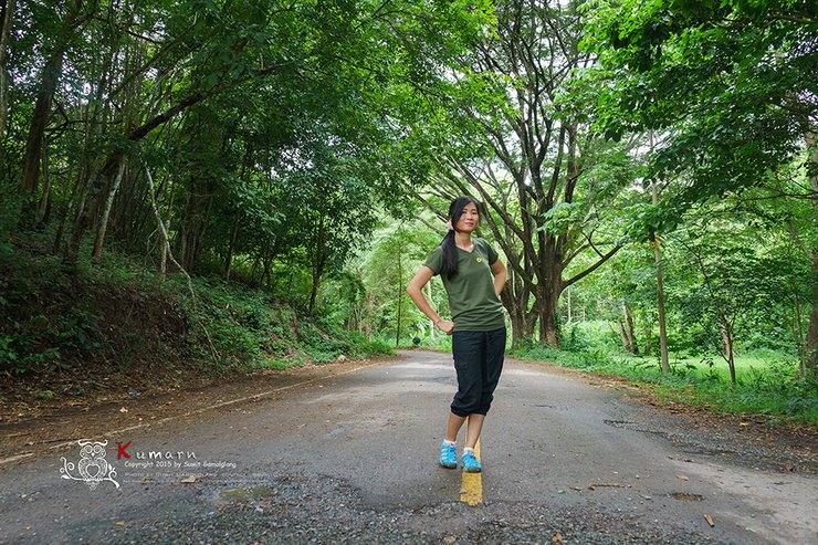
The photographers suggested a trip to the "Angel Mountain" to capture the sea of mist. Upon hearing the name "Angel Mountain," I was intrigued. Where in Thailand is this place? I had never heard of it before. I immediately opened Google to search for it... Oh wow!
Angel Mountain is located in Phu Toei National Park, Suphan Buri Province.
...... Oh, so Suphan Buri has high mountains too? .... Ah, it borders Kanchanaburi Province. That's how it is. ....
Okay, here is the translation of the text:
"I agreed to go with my brother-in-law, along with my wife. We're going for a hike in the mountains (it should be a leisurely walk, the reviews say it's 800 meters from the accommodation)."

We set off after meeting with another team at the Wildlife Conservation Unit (WCU) Phuteuy, Unit 1. Why Unit 1? We only found out when we arrived that our colleagues were secretly birdwatching. Had we known beforehand, we wouldn't have stopped along the way and wasted time. Anyway, we took a quick look around just for the sake of it. After a six-hour drive from Rayong to Suphan Buri, we got out of the car and stretched our stiff bodies. We grabbed our camera with our trusty telephoto lens and walked behind the WCU's accommodation to look for a bird to watch. It was a way to kill time while waiting for the other group to arrive.

After coordinating with the group, we drove through the bamboo forest to reach the second checkpoint of Phu Toei National Park, where another member was waiting for us. We packed our belongings accordingly, as the park ranger informed us that the road ahead was quite challenging (a mountain path, not recommended for sedans).

The next freshman at the second checkpoint, the seniors said that we had to stay at Ta Phin Ki, but the way was rough. They told us to park our small cars here and move our belongings to a 4WD vehicle. Well, we were definitely going to get a bumpy ride. I didn't even think about taking out my camera to take pictures. Anyway, I'll cut to the view at Ta Phin Ki. As a photographer, I don't usually take review photos (maybe I'm the only one who doesn't take review photos).


Wherever I go, the weather is always gloomy, like a photographer's inferiority complex. I've thought about giving up landscape photography several times, but I can't bring myself to do it. She is the ultimate beauty... Is there a connection? Haha.
Our destination was the sea of mist on the top of Mount Thewada. We set off at 4:00 a.m. ... Why did we have to leave so early? The distance is only 800 meters, so something must be wrong.
It turned out to be true. As I drove through the village for 2 kilometers and walked through the villagers' fields for another 500 meters, I reached the base of Mount Tevada. (I asked the young guide why it was called Mount Tevada, and he replied, "I don't know." That's all.)
As I approached the base of the mountain, the air grew humid. The path became increasingly steep, reaching an incline of 50 degrees. I began to feel the effects of the climb, my breath growing heavy. A sign appeared in the distance, offering a glimmer of hope. I assumed it marked the halfway point, 400 meters ahead. However, as I drew closer, the sign revealed a grim truth: the actual distance to the summit was 800 meters, shrouded in darkness and illuminated only by my headlamp.

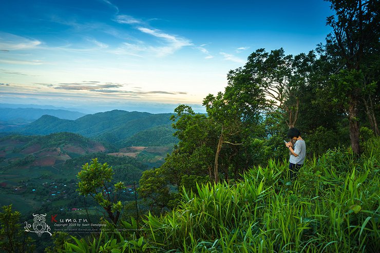
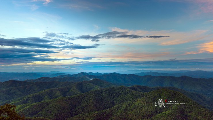
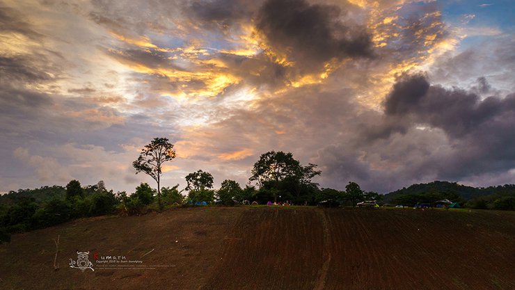
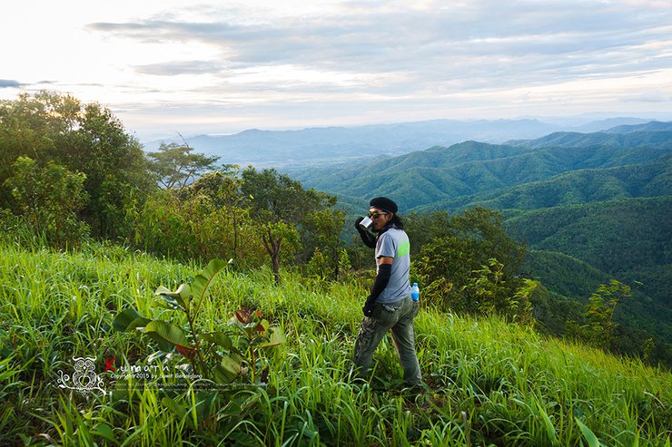
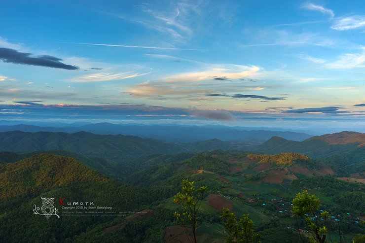
800 meters with a rope to pull yourself up to the top. Looking back at my wife's face, "Are you okay?" She nodded but didn't say anything. We came here for the beautiful sea of fog. We reached the top of the mountain with trembling legs. The sight that greeted us was as follows.


I will return to my sea of mist, the peak of the angels.
This trip, I took my Sony A7 II on an adventure.
Suwit Gamolglang
Tuesday, October 8, 2024 10:27 AM


