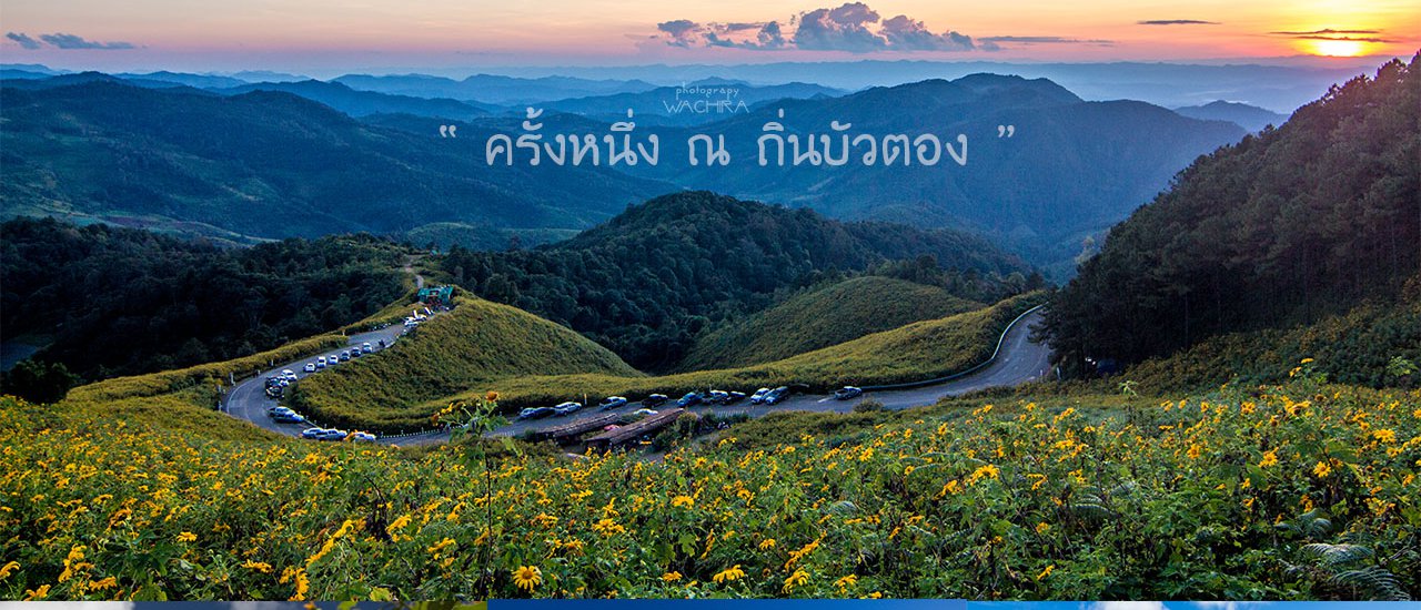
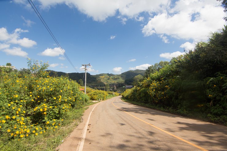
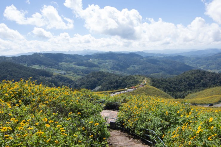
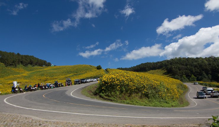
Tung Bua Tong is located in Mae Hong Son Province, Thailand.
The golden sunflowers bloom only in November, reaching their peak in the middle of the month before withering away by the end.

This solo trip was my first, as no one was available to join me. Feeling weary of the world, I yearned for the solace of the forest, despite my limited time. My primary goal was to visit the Tung Bua Tong fields, aiming for a two-day, one-night stay. However, I made a few detours along the way, including Tung Bua Tong, Doi Kong Mu Temple, Wat Jong Kham - Wat Jong Klang, Sutongpe Bridge, and Pang Ung.
There are many paths to take in life.
1. A Somphot Tour bus arrived in Mae Hong Son.
Took a bus to Chiang Mai and then transferred to Mae Hong Son.
Driving from Mae Chaem to Khun Yuam is also possible.
You can also take a plane.
Follow this page for random photos: https://www.facebook.com/savetraveler
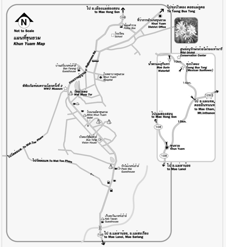
The map was obtained from a Pantip thread.

I opted to take a bus to Mae Hong Son. While the bus route passes through Khun Yuam and offers access to Tung Bua Tong, there are no motorbikes or public transportation available for onward travel. The only options are to hire a private car or hitchhike. Therefore, I decided to disembark in the city center and rent a motorbike instead. Before reaching the city, there is a checkpoint where you must present identification. Don't forget to bring your ID card.
After leaving the transportation station, I took a motorcycle taxi to find a car rental shop. I had heard of two shops, but the driver took me to P.A. The cars there may not be very new, and there were several price options. I chose the 180 baht per day option with 1000 baht insurance. The shop is located next to the police station, and on the right side is...
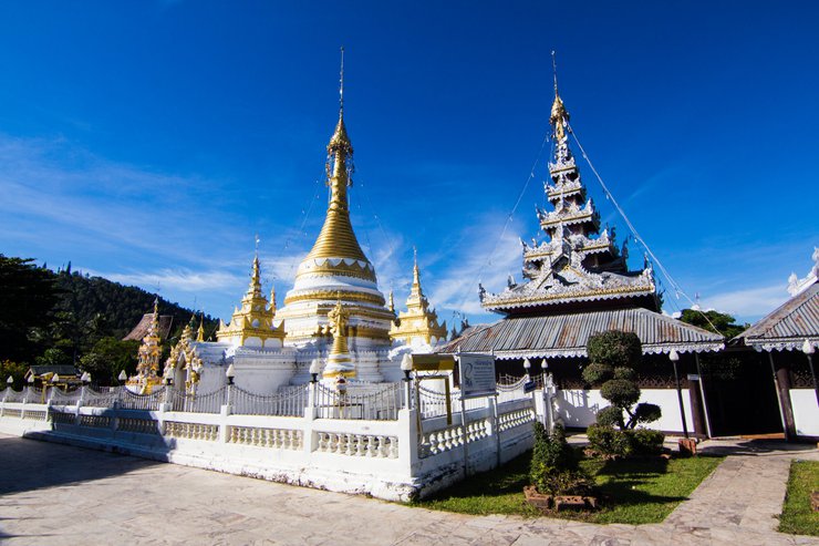
Wat Chong Kham and Wat Chong Klang, two temples that are impossible to resist photographing.


He then rode down the main road towards Khun Yuam.
The distance from Mae Hong Son to Khun Yuam is 67 km. From Khun Yuam to Tung Bua Tong is another 30 km. The road is a winding two-lane asphalt road with steep inclines in some sections. All types of vehicles can travel on this road. It took me almost 3 hours to ride my motorcycle, which is not in the best condition, up the winding mountain road.
As the season for lotus blossoms approaches, they will emerge along the roadside.


Almost there.


Octagonal pavilion

Scenic viewpoint

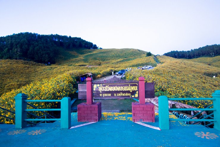
The popular viewpoint is located just before the scenic viewpoint. There is a platform to stand on, and it is recommended to lean against the iron railing to get this picture if you are not tall enough.

From various angles.


Find a place to pitch a tent and sleep.
[Spoiler] Click to reveal hidden textThe original plan was to take a car back to sleep in Pang Ung, but after looking at the clock, I realized that I had spent too much time walking around and enjoying the view. It's another 97 km from the city to Pang Ung, and another 45 km from the city to Doi Uko. I'm too tired today, so I'll find a place to sleep in Doi Uko for the night.
The following is a translation of the provided text from Thai to English:
Looking for a place to set up a tent around here. I think I can get a tent from the Tourism Information Center, probably from the Forestry Department. 200 baht with a sleeping bag.
In the Tung Bua Tong field, there are free camping areas. Alternatively, there are open spaces for camping just off the side of the road. Restrooms are available, but there is no electricity and no water source. It is possible to camp in the middle of the octagonal pavilion, but many people have already reserved spots. As I am traveling alone, this might not be the most convenient option for me.
500 meters beyond the field, there are accommodations available. The camping area costs 100 baht per person and includes electricity and restrooms.
Electricity here is generated by a generator and is turned off at 10 pm.


The evening is the perfect time to watch the sunset at Doi Mae U Kho's Tung Bua Tong field. They say the light hits the blooming flowers just right.

I want to stand here with you. I can't describe it.

The sun sets below the horizon.

The moon has risen.
A view of the distant sea of fog upon entering.


However, the time to enjoy the view is limited, and we must quickly descend the mountain. The Sutongpei Bridge and Pang Ung are still open. We bought tickets for the 4 pm round and continued up the mountain.
If you can't find a carrier, look for this sign before going up.

Doy Kong Moo Pagoda
The temple houses two sacred relics, serving as a spiritual landmark for the city of Mae Hong Son.

The monks accept offerings and flowers as a token of faith.
Walk around the pagoda three times, then place flowers at the Buddha statue representing your birth day. There are Buddha statues representing each day of the week around the pagoda.
Then light incense and candles to worship the Buddha.


Su Tong Pae Bamboo Bridge
Located approximately 15 kilometers from the city center.
Run towards the direction of Pai. There will be a large archway indicating the way to Pai. Follow that road and you will see signs for Ban Rak Thai.
Follow the main road to Ban Rak Thai. After a while, you will see a sign for Ban Kung Mai Sak on your left. Turn left there.
Follow the road into the village for a short distance and you will see a sign pointing towards the bridge.


A short walk would be nice. If I came during the green season, it would be even more beautiful.

I met friends in the backpacking group. I got more travel information, thanks to them.
We are short on time and need to continue for another 30 km uphill. The destination is Pang Ung, but I think the uphill route is easier than going to Tung Bua Tong.
Exit the bridge entrance we used and continue on the path that leads uphill. Pass through the village, which has a concrete road.
Follow the signs along the Pai River. The main landmark is the sign for Ban Rak Thai village.
After a while, you will come across a roundabout with a statue of a sheep. Turn right, please. Don't forget.
To reach the village, there will be a sign indicating a left turn. The sign will read "Royal Project Pang Tong, Pang Ung". Continue riding straight through the village.
The pine forest indicates that we are nearing our destination.
Before entering Pang Ung, there are two rows of hill tribe homestays available for rent on both sides of the road.


I also found a white swan.


Today, I came at noon and didn't see the beautiful mist in the water. I'm so disappointed. I stayed here last night, so I guess I'll have to come back with my girlfriend as I promised. The weather is great.


Due to time constraints, there were many attractions that could not be visited. If there is an opportunity, I will definitely come again. The weather here is good and the city is peaceful.
Please address the issues of littering and loud music from camping activities. Let's work together to find solutions.
And a map of the entire Mae Hong Son province. I found it on Pantip, of course.
[Link to map.zip file]
Note: The original text includes HTML tags, which have been preserved in the translation.
ฤกษ์เที่ยว
Friday, November 8, 2024 4:11 PM

